Country parks · London
Betts Park
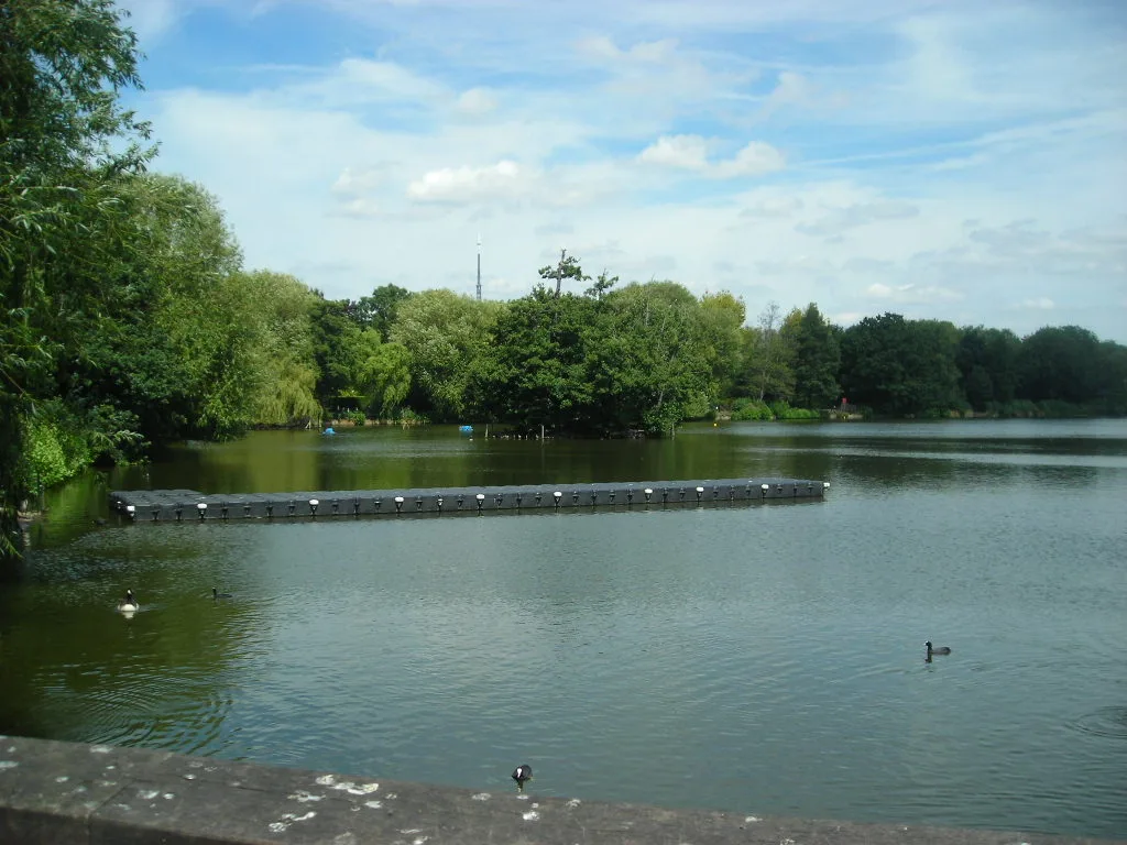
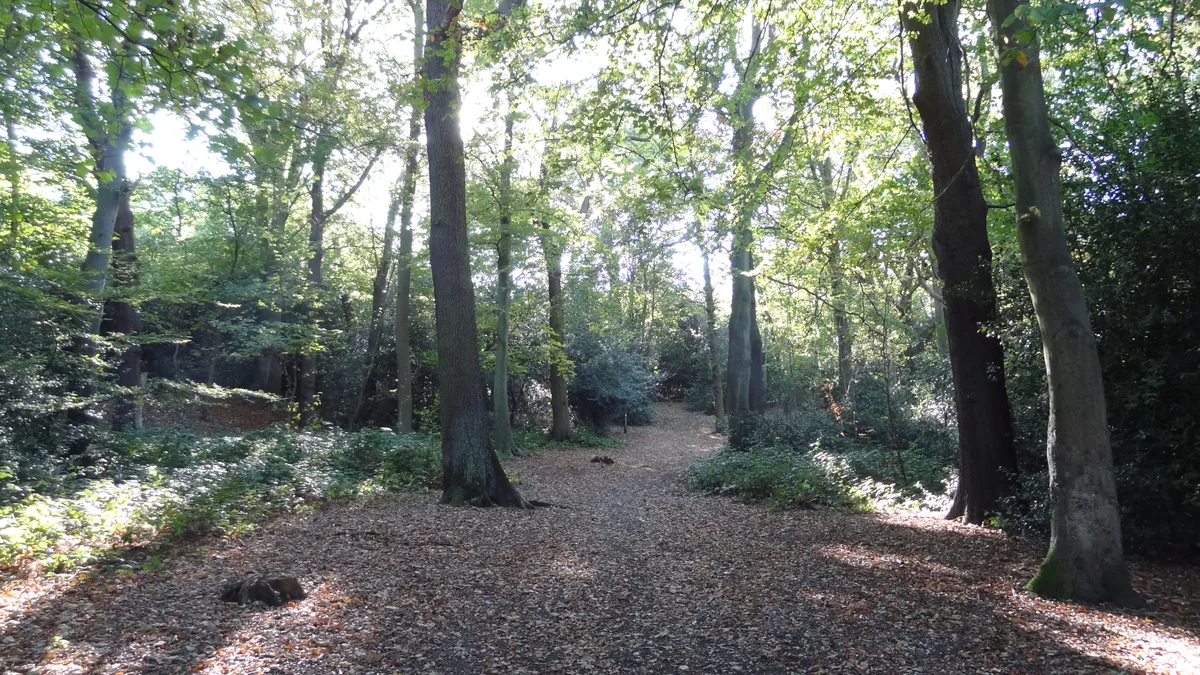
Betts Park — public park in Penge, London Borough of Bromley, in London, England.

Wikimedia Commons contributors — see linked file page for photographer and licence licence
Plan your visit
- Typical visit
- 1.5 h–3 h
- Nearest railway station
- Anerley · 0.4 km
- Free entry
- Family-friendly
- Dog-friendly
About
Betts Park is a country park in the United Kingdom. Wikidata describes it as: "public park in Penge, London Borough of Bromley, in London, England". Coordinates: 51.4089°, -0.0647°.
Photo gallery
From the Wikipedia article
Betts Park (also known as King George's Field) is a public park in Anerley, London Borough of Bromley, in southeast London, England. It is approximately 13 acres (5 hectares) and has a number of attractions, including part of the old Croydon Canal and the Heart of Anerley obelisk. The current park was opened in December 1928 and extended throughout the 1930s, with the final addition of "new fields" by the King George V Memorial Trust in 1937. The boundaries of the park mirror the outline of an ancient copse dating back over 1000 years.
Excerpt from Wikipedia under CC BY-SA 4.0. See the source article linked in Sources below.
Background
History
The land where Betts Park now stands originally contained a semi-enclosed coppice on Penge Common known as Clay Copse. In 957 the entire common was given by King Eadwig to thane Lyfing, for services rendered, and became an exclave of the Manor and Parish of Battersea. In 1066 the Manor of Battersea was confiscated by King William I and handed to Westminster Abbey. After the dissolution of the monasteries it was sold first to the Oliver St John family. It was later acquired by the Earl Spencer. In 1806 the Croydon Canal was built, the last remnant of which still forms the northwest boundary of Betts Park. In 1827 the entire common was inclosed and auctioned with lots sold for development.…
Sourced from Wikipedia under CC BY-SA 4.0.
- Coordinates
- 51.4089, -0.0647
- District
- Bromley
- Parish
- Bromley, unparished area
- Postcode
- SE20 8TW
- Parliamentary constituency
- Beckenham and Penge
- Nearest railway station
- Anerley — 0.4 km
Sources
- wikidata: Q15198760 (CC0)
- wikipedia: Betts Park (CC BY-SA 4.0)
- commons: Betts.jpg (CC BY-SA 4.0)
Other places nearby
Loading nearby places…
Nearby
 📷 5
📷 5Canals · London
Croydon Canal
Croydon Canal — former canal in Surrey.
Hostels · London
45-53
45-53 — a hostel in england london.
 📷 5
📷 5Public art & sculpture · London
Dinosaur
Dinosaur — a public art in england-london, United Kingdom.
 📷 5
📷 5Chapels · London
Anerley
Anerley — a methodist chapel in england-london, United Kingdom.
 Flagship📷 10
Parks · London
South Norwood Lake and Grounds
South Norwood Lake and Grounds — park in South Norwood, London, UK.
 📷 5
📷 5Chapels · London
Penge
Penge — a methodist chapel in england-london, United Kingdom.
More places in this region
 Flagship📷 10
Country parks · London
Brockwell Park
Brockwell Park — park in south London, England, UK.
 Flagship📷 10
Country parks · London
Clissold Park
Clissold Park — park in Stoke Newington, London.
 Flagship📷 10
Country parks · London
Coombe Wood
Coombe Wood — woodland and garden area in the London Borough of Croydon.
 Flagship📷 10
Country parks · London
Croham Hurst
Croham Hurst — woodland in Croydon, Greater London, England, United Kingdom.
Frequently asked questions
- Where is Betts Park?
- Betts Park is in London, United Kingdom (postcode SE20 8TW), in the parish of Bromley, unparished area.
- Is Betts Park free to visit?
- Yes, Betts Park is free to enter.
- How do I get to Betts Park?
- The nearest railway station is Anerley, about 0.4 km away. Drivers can navigate to postcode SE20 8TW.