Hill forts · West Midlands
Belas Knap
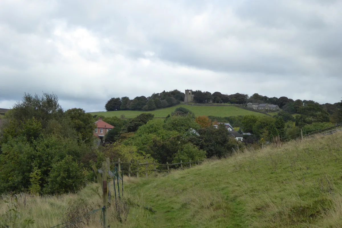
Belas Knap — archaeological site in Sudeley, Tewkesbury, England, UK.

Wikimedia Commons contributors — see linked file page for photographer and licence licence
Plan your visit
- Typical visit
- 1 h–2 h
- Nearest railway station
- Winchcombe · 4.4 km
- Free entry
- Family-friendly
- Dog-friendly
- Limited wheelchair access
About
Belas Knap is a hill fort in the United Kingdom. Heritage designation: scheduled monument. Owned by English Heritage. Managed by English Heritage. Wikidata describes it as: "archaeological site in Sudeley, Tewkesbury, England, UK". Coordinates: 51.9274°, -1.9709°.
Photo gallery
Protected designations
- Area of Outstanding Natural Beauty: Cotswolds
Designations sourced from Natural England open data under OGL v3.
From the Wikipedia article
Belas Knap is a Neolithic, chambered long barrow situated on Cleeve Hill, near Cheltenham and Winchcombe, in Gloucestershire, England. It is a type of monument known as the Cotswold Severn Cairn, all of which have a similar trapezoid shape, and are found scattered along the River Severn. Belas Knap is described in the English Heritage designation listing statement as an "outstanding example representing a group of long barrows commonly referred to as the Cotswold-Severn group".
Excerpt from Wikipedia under CC BY-SA 4.0. See the source article linked in Sources below.
Background
History
Construction is estimated to have taken place around 3000 BC, with following successive burials over a period of years and then the burial chambers were deliberately blocked.
Visiting
It is accessed by either of two paths. The best known is the one from the narrow and steep Charlton Abbots road, south of Winchcombe. There is a 'pull-in' on the left, with a signpost pointing up through the trees to the right. There is a steep climb for the first stretch of the footpath, affording views of Winchcombe, until the rounded hill top is reached. This walk takes approximately 10 minutes. The other is from the 'no through road', which leaves the above road at SP 019263, to go up to Corndean Hall. The last part of the drive is on an unsurfaced track, on which vehicular access is not possible. This cuts out the steep climb of the other route and approaches the site from the West.
Sourced from Wikipedia under CC BY-SA 4.0.
- Coordinates
- 51.9274, -1.9709
- County
- Gloucestershire
- District
- Tewkesbury
- Parish
- Sudeley
- Postcode
- GL54 5AL
- Parliamentary constituency
- Tewkesbury
- Nearest railway station
- Winchcombe — 4.4 km
- Official site
- www.english-heritage.org.uk
Sources
- wikidata: Q815277 (CC0)
- wikipedia: Belas Knap (CC BY-SA 4.0)
- commons: Bellas Knap chamber 1.jpg (CC BY-SA 4.0)
Other places nearby
Loading nearby places…
Nearby
 📷 3
📷 3Archaeological sites · West Midlands
Belas Knap Longbarrow
Belas Knap Longbarrow — a archaeological in england-west-midlands, United Kingdom.
 📷 3
📷 3Roman villas · West Midlands
Wadfield Roman villa
Wadfield Roman villa — a roman villa in england-west-midlands, United Kingdom.
 📷 3
📷 3Historic houses · West Midlands
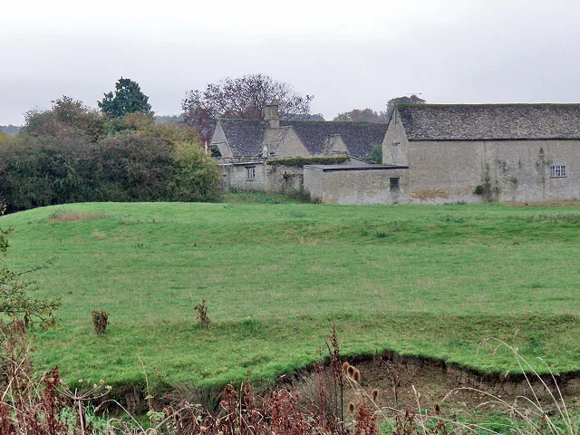
Corndean Hall
Corndean Hall — house in Winchcombe, Tewkesbury, England, UK.
 📷 3
📷 3Historic houses · West Midlands
Banqueting Hall
Banqueting Hall — a historic house in england-west-midlands, United Kingdom.
 📷 5
📷 5Castles · West Midlands
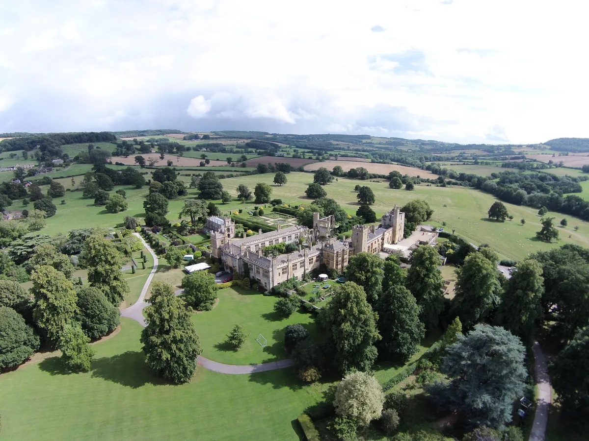
Sudeley Castle
Sudeley Castle — Grade I listed historic house museum in Sudeley, Tewkesbury, Gloucestershire, England, UK.
 📷 3
📷 3Roman villas · West Midlands
Spoonley Woods Roman Villa
Spoonley Woods Roman Villa — a roman villa in england-west-midlands, United Kingdom.
More places run by English Heritage
 Flagship📷 10
Museums · London
Kenwood House
Kenwood House — art museum and historic house in Hampstead, London.
 📷 5
📷 5Galleries · London
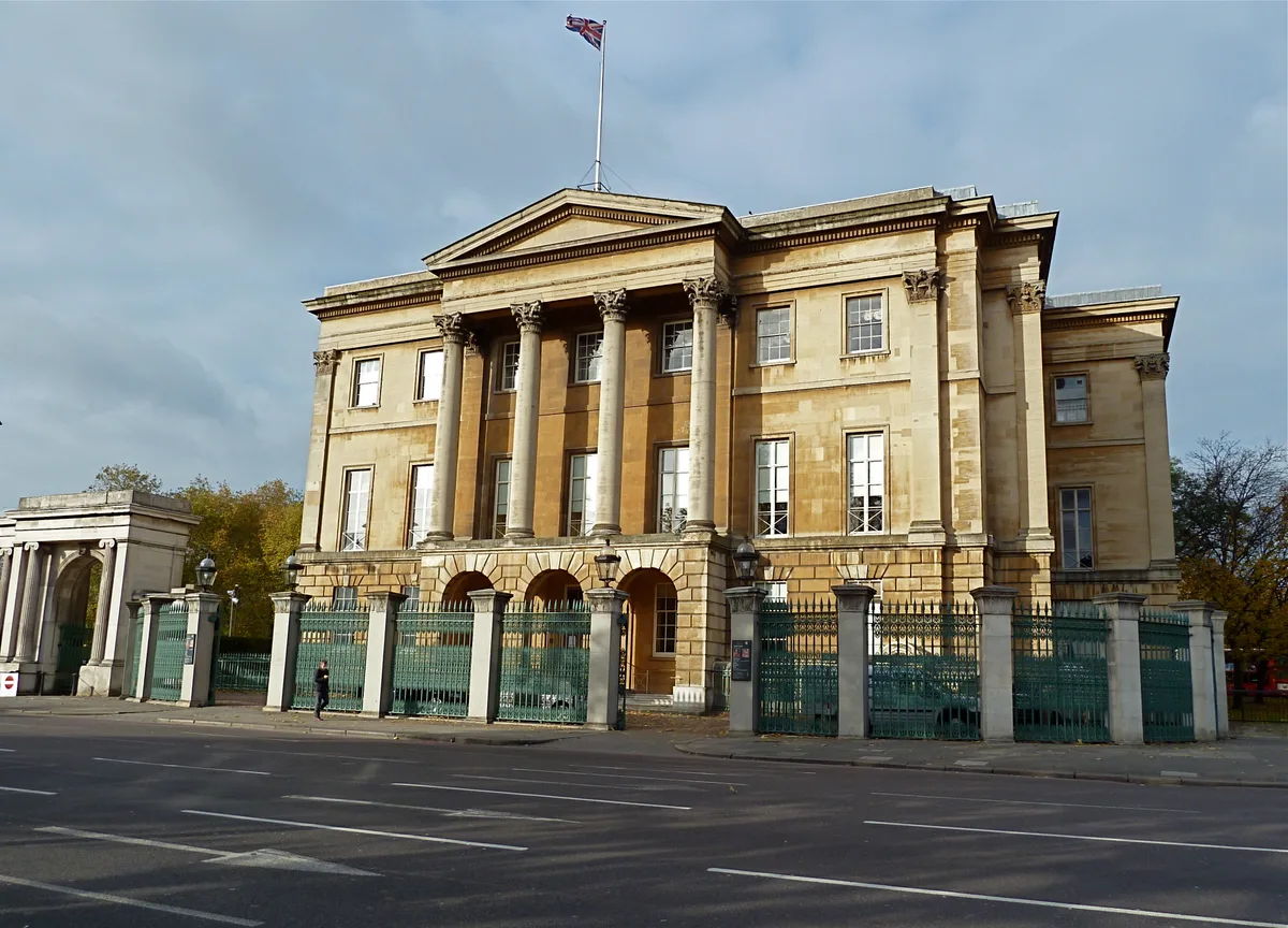
Apsley House
Apsley House — London townhouse of the Dukes of Wellington.
 ★ Iconic📷 5
Abbeys & priories · London
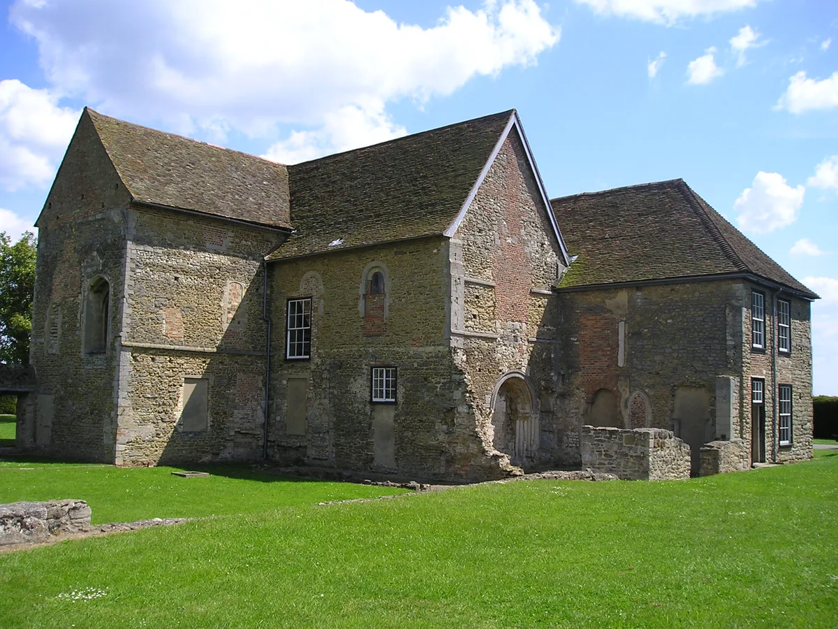
Denny Abbey
Denny Abbey — church in South Cambridgeshire, England, UK.
 📷 5
📷 5Chapels · London
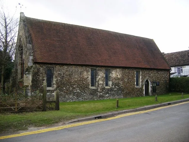
Duxford Chapel
Duxford Chapel — chapel in Whittlesford, Cambridgeshire, England, UK.
More places in this region
 Flagship📷 3
Hill forts · West Midlands
Mellor hill fort
Mellor hill fort — prehistoric site in North West England.
 📷 3
📷 3Hill forts · West Midlands
Ariconium
Ariconium — Ariconium was a road station of Roman Britain mentioned in Iter XIII of the Iter Britanniarum of the Antonine Itineraries. It was located at Bury Hill.
 📷 3
📷 3Hill forts · West Midlands
Ascot d'Oilly Castle
Ascot d'Oilly Castle — castle in Oxfordshire, England, UK.
 📷 3
📷 3Hill forts · West Midlands
Aves ditch
Aves ditch — archaeological site in Oxfordshire.
Frequently asked questions
- Where is Belas Knap?
- Belas Knap is in Gloucestershire, the West Midlands, United Kingdom (postcode GL54 5AL), in the parish of Sudeley.
- Who runs Belas Knap?
- Belas Knap is operated by English Heritage.
- Is Belas Knap a listed building?
- Belas Knap is officially recognised as scheduled monument listed.
- Is Belas Knap a protected site?
- Yes — Belas Knap is part of the Cotswolds National Landscape (AONB).
- Is Belas Knap free to visit?
- Yes, Belas Knap is free to enter.
- How do I get to Belas Knap?
- The nearest railway station is Winchcombe, about 4.4 km away. Drivers can navigate to postcode GL54 5AL.