Mountains & hills · Scottish Highlands
Beinn Chorranach
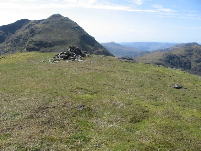
Beinn Chorranach — Named summit at 888 m.

Wikimedia Commons contributors — see linked file page for photographer and licence licence
Plan your visit
- Typical visit
- 3 h–8 h
- Best time of year
- Late spring – early autumn (May–Oct)
- Nearest railway station
- Arrochar and Tarbet · 7.6 km
- Free entry
- Dog-friendly
About
Beinn Chorranach is a named summit in the United Kingdom. Wikidata describes it as: "Named summit at 888 m.". Coordinates: 56.2465°, -4.8181°.
Photo gallery
From the Wikipedia article
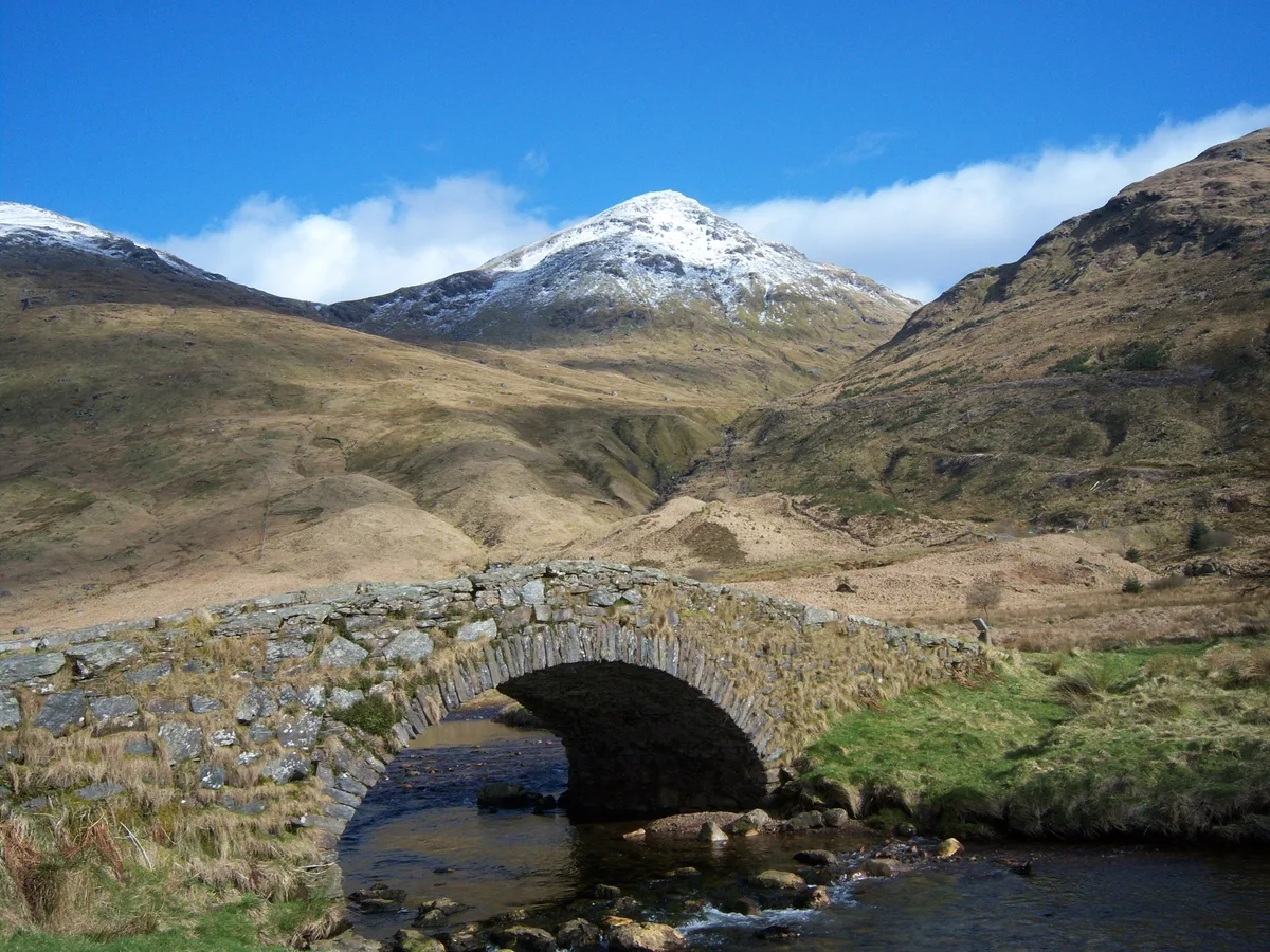
Beinn Chorranach is one of the Arrochar Alps, a mountain range that marks the start of the Argyll Highlands and provides a wilderness of long coastlines and high mountains with forested hill sides. Beinn Chorranach's parent peak is Beinn Ìme, the biggest mountain in the range. Beinn Chorranach lies at the head of lower Glen Kinglas and is located between Loch Fyne (the biggest sea loch in Scotland) and Loch Lomond (the biggest freshwater loch in Scotland). East of Beinn Chorranach is Loch Lomond as the mountain can be seen from Inversnaid and further east to The Trossachs wilderness. Further west is the rest of the wild Argyll scenery and marks the first real sense of isolation and wilderness after arriving in the Highlands at Loch Lomond.
Excerpt from Wikipedia under CC BY-SA 4.0. See the source article linked in Sources below.
- Coordinates
- 56.2465, -4.8181
- Address
- Argyll and Bute, Scotland
- Nearest railway station
- Arrochar and Tarbet — 7.6 km
Sources
- osm: n264990945 (ODbL)
- wikipedia: Beinn Chorranach (CC BY-SA 4.0)
- commons: Summit of Beinn Chorranach - geograph.org.uk - 415298.jpg (CC BY-SA 4.0)
Other places nearby
Loading nearby places…
Nearby
 📷 3
📷 3Natural landmarks · Scottish Highlands
Beinn Chorranach
Beinn Chorranach — 888m high mountain in Argyll and Bute, Scotland, UK.
 📷 3
📷 3Mountains & hills · Scottish Highlands
Beinn Ìme
Beinn Ìme — Named summit at 1011 m.
 📷 3
📷 3Natural landmarks · Scottish Highlands
Beinn Ìme
Beinn Ìme — 1011m high mountain in Argyll and Bute, Scotland, UK.
 📷 5
📷 5National parks · Scottish Highlands
Arrochar Alps
Arrochar Alps in Scotland Islands, United Kingdom.
 📷 3
📷 3Mountains & hills · Scottish Highlands
Beinn Luibhean
Beinn Luibhean — Named summit at 858 m.
 📷 3
📷 3Natural landmarks · Scottish Highlands
Beinn Luibhean
Beinn Luibhean — mountain in Argyll and Bute, Scotland, UK.
More mountains in this region
 📷 3
📷 3Mountains & hills · Scottish Highlands
A' Bhuidheanach Bheag
A' Bhuidheanach Bheag — Named summit at 936 m.
 📷 3
📷 3Mountains & hills · Scottish Highlands
A' Chailleach
A' Chailleach — Named summit at 997 m.
 📷 3
📷 3Mountains & hills · Scottish Highlands
A' Chailleach
A' Chailleach — Named summit at 930 m.
 📷 3
📷 3Mountains & hills · Scottish Highlands
A' Chaoirnich
A' Chaoirnich — Named summit at 875 m.
Frequently asked questions
- Where is Beinn Chorranach?
- Beinn Chorranach is in the Scottish Highlands, United Kingdom.
- Is Beinn Chorranach free to visit?
- Yes, Beinn Chorranach is free to enter.
- How do I get to Beinn Chorranach?
- The nearest railway station is Arrochar and Tarbet, about 7.6 km away.