Mountains & hills · Scottish Highlands
Beinn Ìme
Also known as: Beinn Ime
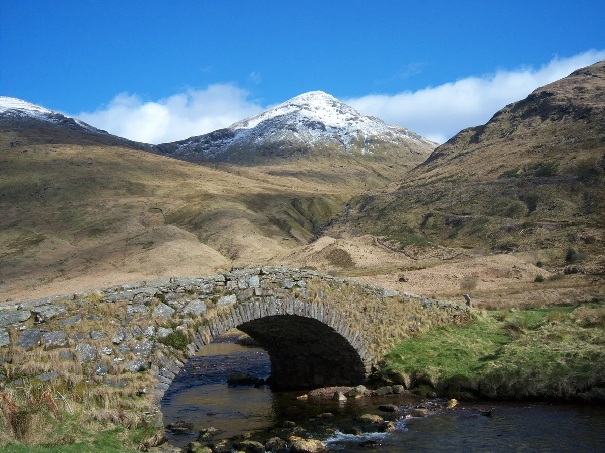
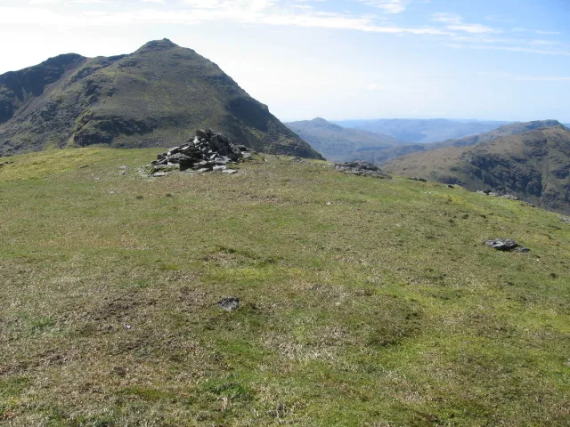
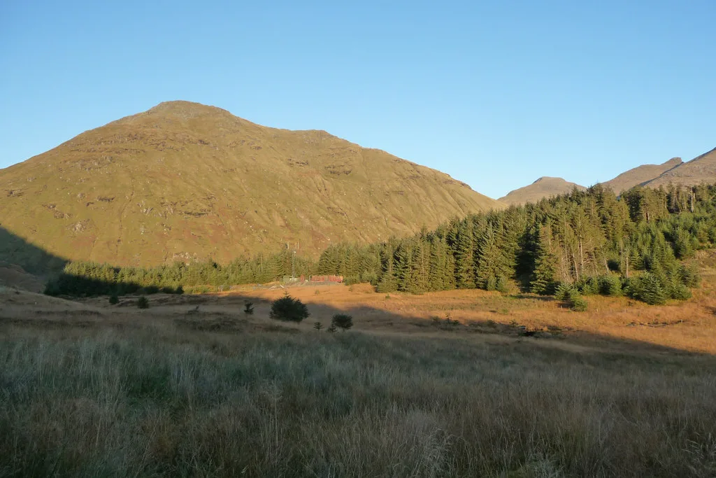
Beinn Ìme — Named summit at 1011 m.

Wikimedia Commons contributors — see linked file page for photographer and licence licence
Plan your visit
- Typical visit
- 3 h–8 h
- Best time of year
- Late spring – early autumn (May–Oct)
- Nearest railway station
- Arrochar and Tarbet · 6.9 km
- Free entry
- Dog-friendly
About
Beinn Ìme is a named summit in the United Kingdom. Wikidata describes it as: "Named summit at 1011 m.". Coordinates: 56.2369°, -4.8168°.
Photo gallery
From the Wikipedia article
Beinn Ìme (Scottish Gaelic for 'Butter Mountain') is the highest mountain in the Arrochar Alps of Argyll, in the Southern Highlands of Scotland. The summit elevation is 1,011 metres (3,317 ft) and it is listed as a Munro.
Excerpt from Wikipedia under CC BY-SA 4.0. See the source article linked in Sources below.
- Coordinates
- 56.2369, -4.8168
- Address
- Argyll and Bute, Scotland
- Nearest railway station
- Arrochar and Tarbet — 6.9 km
- Official site
- www.walkhighlands.co.uk
Sources
- osm: n2408919863 (ODbL)
- wikipedia: Beinn Ìme (CC BY-SA 4.0)
- commons: Beinn ime from the butterbridge.jpg (CC BY-SA 4.0)
Other places nearby
Loading nearby places…
Nearby
 📷 3
📷 3Natural landmarks · Scottish Highlands
Beinn Ìme
Beinn Ìme — 1011m high mountain in Argyll and Bute, Scotland, UK.
 📷 5
📷 5National parks · Scottish Highlands
Arrochar Alps
Arrochar Alps in Scotland Islands, United Kingdom.
 📷 3
📷 3Mountains & hills · Scottish Highlands
Beinn Chorranach
Beinn Chorranach — Named summit at 888 m.
 📷 3
📷 3Natural landmarks · Scottish Highlands
Beinn Chorranach
Beinn Chorranach — 888m high mountain in Argyll and Bute, Scotland, UK.
 📷 3
📷 3Natural landmarks · Scottish Highlands
Beinn Luibhean
Beinn Luibhean — mountain in Argyll and Bute, Scotland, UK.
 📷 3
📷 3Mountains & hills · Scottish Highlands
Beinn Luibhean
Beinn Luibhean — Named summit at 858 m.
More mountains in this region
 📷 3
📷 3Mountains & hills · Scottish Highlands
A' Bhuidheanach Bheag
A' Bhuidheanach Bheag — Named summit at 936 m.
 📷 3
📷 3Mountains & hills · Scottish Highlands
A' Chailleach
A' Chailleach — Named summit at 997 m.
 📷 3
📷 3Mountains & hills · Scottish Highlands
A' Chailleach
A' Chailleach — Named summit at 930 m.
 📷 3
📷 3Mountains & hills · Scottish Highlands
A' Chaoirnich
A' Chaoirnich — Named summit at 875 m.
Frequently asked questions
- Where is Beinn Ìme?
- Beinn Ìme is in the Scottish Highlands, United Kingdom.
- Is Beinn Ìme free to visit?
- Yes, Beinn Ìme is free to enter.
- How do I get to Beinn Ìme?
- The nearest railway station is Arrochar and Tarbet, about 6.9 km away.