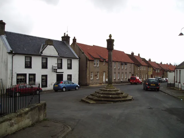
Towns & cities · Central Scotland
Akeld
Akeld — a village located in Northumberland, United Kingdom.

Wikimedia Commons contributors — see linked file page for photographer and licence licence
Plan your visit
- Typical visit
- 3 h–6 h
- Nearest railway station
- Heatherslaw · 9.2 km
- Free entry
- Family-friendly
- Dog-friendly
About
Akeld is a town, city, village or settlement in the United Kingdom. Recent population estimates put it at around 71 people. Wikidata describes it as: "a village located in Northumberland, United Kingdom". Coordinates: 55.5590°, -2.0730°.
Photo gallery
Protected designations
- Site of Special Scientific Interest: Tweed Catchment Rivers - England: Till Catchment SSSI
Designations sourced from Natural England open data under OGL v3.
From the Wikipedia article
Akeld is a village and civil parish in Northumberland, England. It is situated around 2.7 miles (4.3 km) to the west of Wooler and 9.3 miles (15.0 km) from the border with Scotland at Coldstream. The village lies on the northern limit of Northumberland National Park and on the foot of the Cheviot Hills massif. It is overlooked by Akeld Hill and Harehope Hill to the south. In 2001 Akeld had a population of 82, increasing at the 2011 Census to 221, although this was partly due to the parish merging with that of Kirknewton. The burn which runs through the village and down to the Milfield Basin also bears the name Akeld. The economy of Akeld has historically been focussed on agriculture. The position of the village between the English and Scottish borders has meant it often suffered at the hand of border raids. In the 19th century, Akeld was served by a railway station which made the village less isolated. The closure of the railway in the 20th century, combined with declining agricultural employment, has led to a reduction in the village's size and population.
Excerpt from Wikipedia under CC BY-SA 4.0. See the source article linked in Sources below.
Background
History
The earliest evidence of human occupation in Akeld dates back to the Mesolithic period in the form of a microlith – a small flint tool – discovered in the north of the parish. The slopes of the Cheviots to the south of Akeld would have been wooded during the Mesolithic period, so would have likely been used by hunting or foraging parties. A Neolithic henge was discovered on flat land to the north of the River Glen and is probably part of a larger collection of monuments found in the Milfield Basin. Evidence of Bronze Age and Iron Age habitation can be found in the Cheviot uplands to the south of the village, where there are many upstanding monuments constructed from local rocks. A…
Sourced from Wikipedia under CC BY-SA 4.0.
- Coordinates
- 55.5590, -2.0730
- District
- Northumberland
- Parish
- Akeld
- Postcode
- NE71 6TA
- Parliamentary constituency
- North Northumberland
- Population
- 71
- Nearest railway station
- Heatherslaw — 9.2 km
Sources
- wikidata: Q780359 (CC0)
- wikipedia: Akeld (CC BY-SA 4.0)
- commons: View over Akeld from the south - geograph.org.uk - 1426700.jpg (CC BY-SA 4.0)
Other places nearby
Loading nearby places…
Nearby
 📷 3
📷 3Manor houses · Central Scotland
Akeld Manor
Akeld Manor — Grade II listed building-listed manor in scotland-central, United Kingdom.
 📷 3
📷 3Heritage railway stations · North East England
Akeld railway station
Akeld railway station in England North East, United Kingdom.
 📷 3
📷 3Hill forts · Central Scotland
Gleadscleugh Hillfort
Gleadscleugh Hillfort — a hill fort in scotland-central, United Kingdom.
Vineyards · Central Scotland
Glead's Cleugh Iron Age promontory fort
Glead's Cleugh Iron Age promontory fort — a UK vineyard in scotland central, producing English or Welsh wine from cool-climate grape varieties.
 📷 3
📷 3Hill forts · Central Scotland
Monday Cleugh Hillfort
Monday Cleugh Hillfort — a hill fort in scotland-central, United Kingdom.
📷 3Hill forts · Central Scotland
Monday Cleugh Hill Fort
Monday Cleugh Hill Fort — a hill fort in scotland-central, United Kingdom.
More towns in this region
 Flagship📷 3
Towns & cities · Central Scotland
Airth
Airth — village in Falkirk, Scotland, UK.
 Flagship📷 5
Towns & cities · Central Scotland
Avonbridge
Avonbridge — village in Falkirk, Scotland, UK.
 Flagship📷 3
Towns & cities · Central Scotland
Banknock
Banknock — village in Falkirk, Scotland, UK.
 Flagship📷 3
Towns & cities · Central Scotland
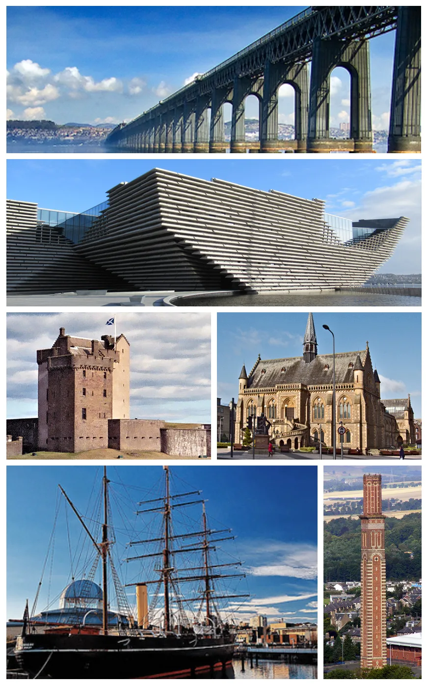
Dundee
Dundee — city in Scotland, UK.
Frequently asked questions
- Where is Akeld?
- Akeld is in central Scotland, United Kingdom (postcode NE71 6TA), in the parish of Akeld.
- Is Akeld a protected site?
- Yes — Akeld is part of the Tweed Catchment Rivers - England: Till Catchment SSSI Site of Special Scientific Interest.
- Is Akeld free to visit?
- Yes, Akeld is free to enter.
- How do I get to Akeld?
- Drivers can navigate to postcode NE71 6TA. It sits within the North Northumberland parliamentary constituency.