Abbeys & priories · North East England
Wooler
Wooler in England North East, United Kingdom.

Geoff Holland — CC BY-SA 2.0 via Wikimedia Commons licence
Plan your visit
- Typical visit
- 45 min–1.5 h
- Family-friendly
- Limited wheelchair access
About
Wooler is a place of interest in England North East, United Kingdom — drawn from open-data sources for visitor reference. See the linked Wikipedia article for the full description.
Photo gallery
From the Wikipedia article
Wooler ( WUUL-ə) is a town in Northumberland, England on the edge of the Northumberland National Park, near the Cheviot Hills. It is a popular base for walkers and is referred to as the "Gateway to the Cheviots". As well as shops and public houses, the town has a youth hostel, hotels and campsites. It lies on the St Cuthbert's Way long-distance footpath between Melrose Abbey and Lindisfarne. The main A697 road links the town with Morpeth and Coldstream in the Scottish Borders. Wooler has two schools; Wooler First School (including Little Acorns Nursery) and Glendale Community Middle School. They share a single campus on Brewery Road providing education for children in the Glendale area from 2 years old to 13 years old. Close by to the west is Yeavering Bell, crowned by an Iron Age fort, a stronghold of the Votadini. The remnants of many stone huts can be seen on its summit, which is surrounded by a collapsed stone wall. At the northern base of the hill is the site of Yeavering (Ad Gefrin in Bede's Ecclesiastical History of the English People), which was the summer residence of the early Anglo-Saxon kings of Northumbria.
Excerpt from Wikipedia under CC BY-SA 4.0. See the source article linked in Sources below.
Background
History
Wooler was not recorded in Domesday Book because in 1086 northern Northumbria was not under Norman control. By 1107, at the time of the creation of the 1st Baron Wooler, the settlement was described as "situated in an ill-cultivated country under the influence of vast mountains, from whence it is subject to impetuous rains". Wooler subsequently enjoyed a period of prosperity and with its expansion it was granted a licence in 1199 to hold a market every Thursday. St Mary Magdalene Hospital was established around 1288. Wooler is close to Humbleton Hill, the site of a severe Scottish defeat at the hands of Harry Hotspur in 1402. The battle is referred to at the beginning of William…
Sourced from Wikipedia under CC BY-SA 4.0.
- Coordinates
- 55.5461, -2.0166
- District
- Northumberland
- Parish
- Wooler
- Postcode
- NE71 6BE
- Parliamentary constituency
- North Northumberland
- Official site
- www.neighbourhood.statistics.gov.uk
Sources
Other places nearby
Loading nearby places…
Nearby
 📷 3
📷 3Memorials & monuments · Central Scotland
Alderman Gilbert Oliver
Alderman Gilbert Oliver — a memorial in scotland-central, United Kingdom.
Hotels · Central Scotland
No 1 Hotel
No 1 Hotel — a hotel in scotland central.
Hotels · Central Scotland
The Black Bull
The Black Bull — a hotel in scotland central.
Cafés · Central Scotland
The Terrace Cafe
The Terrace Cafe — a café in scotland central.
 📷 3
📷 3Museums · Central Scotland
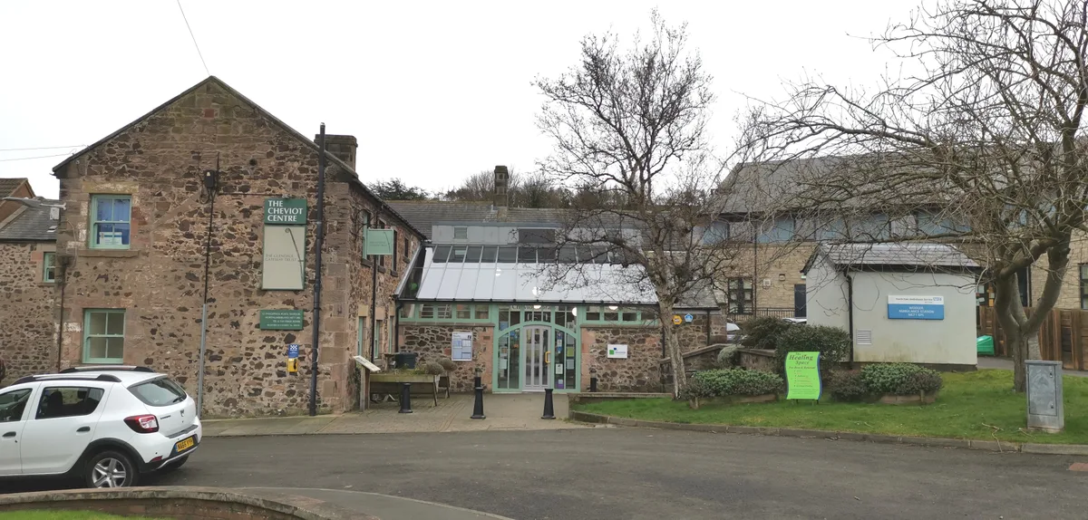
Cheviot Museum And Field Centre
Cheviot Museum And Field Centre — museum in Wooler, England, UK.
 📷 4
📷 4Historic churches · North East England
St Ninian's Church, Wooler
St Ninian's Church, Wooler in England North East, United Kingdom.
More abbeys in this region
 📷 5
📷 5Abbeys & priories · North East England
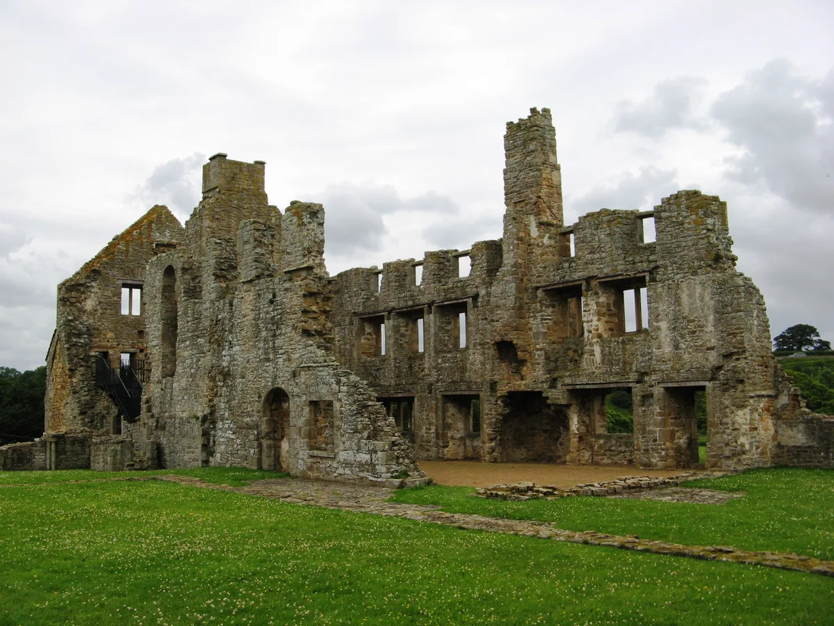
Egglestone Abbey
Egglestone Abbey is a abbey in the United Kingdom.
 📷 4
📷 4Abbeys & priories · North East England
Shap Abbey
Shap Abbey — abbey in the Eden District of Cumbria, England, UK.
 📷 4
📷 4Abbeys & priories · North East England
Keld
Keld in England North East, United Kingdom.
 📷 4
📷 4Abbeys & priories · North East England
Lanercost
Lanercost in England North East, United Kingdom.
Frequently asked questions
- Where is Wooler?
- Wooler is in North East England, in the United Kingdom — coordinates 55.5461°, -2.0166°.
- Is Wooler wheelchair accessible?
- Partially — OpenStreetMap notes limited wheelchair access at Wooler. Check ahead for specific facilities.