Towns & cities · North East England
Boulby
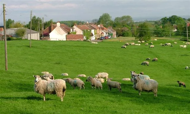
Boulby — village in North Yorkshire, England, UK.

Wikimedia Commons contributors — see linked file page for photographer and licence licence
Plan your visit
- Typical visit
- 3 h–6 h
- Nearest railway station
- Cat Nab · 9.4 km
- Free entry
- Family-friendly
- Dog-friendly
About
Boulby is a town, city, village or settlement in the United Kingdom. Address: TS13. Wikidata describes it as: "village in North Yorkshire, England, UK". Coordinates: 54.5606°, -0.8270°.
Photo gallery
From the Wikipedia article
Boulby () is a hamlet in the Loftus parish, located within the North York Moors National Park. It is in the borough of Redcar and Cleveland, North Yorkshire, England. The hamlet is located off the A174, near Easington and 1-mile (1.6 km) west of Staithes. It was in the North Riding of Yorkshire until 1974, followed by the county of Cleveland until 1996. The village formerly had alum mining activity and is currently the site of Boulby mine, a 200-hectare (490-acre) site by Cleveland Potash Limited which produces half of the UK's potash output.
Excerpt from Wikipedia under CC BY-SA 4.0. See the source article linked in Sources below.
Background
History
In the Domesday Book of 1086, Boulby is given as Bolebi or Bollebi, and appears within the soke of Loftus, held in the William the Conqueror’s time by High d'Avranches, Earl of Chester. It states "In Bolebi, Chiluert had 1 carucate of land, sufficient for 1 plough, valued at 8 shillings." Chiluert held the manor before the conquest. Some time afterwards Boulby, along with Easington, passed to the de Brus family, Lords of Skelton. The estate of Easington and Boulby came to a branch of the family of Conyers by the mid-15th century, who for several generations, were seated at mansion at Boulby. By the early 19th century the mansion was converted into a farm house, which over the door on a…
Sourced from Wikipedia under CC BY-SA 4.0.
- Coordinates
- 54.5606, -0.8270
- District
- Redcar and Cleveland
- Parish
- Loftus
- Postcode
- TS13
- Parliamentary constituency
- Middlesbrough South and East Cleveland
- Nearest railway station
- Cat Nab — 9.4 km
Sources
- wikidata: Q895040 (CC0)
- wikipedia: Boulby (CC BY-SA 4.0)
- commons: Boulby Bank - geograph.org.uk - 586369.jpg (CC BY-SA 4.0)
Other places nearby
Loading nearby places…
Nearby
 📷 5
📷 5Mines & mining heritage · North East England
Grinkle Mine
Grinkle Mine — former ironstone mine in North Yorkshire, England.
 📷 4
📷 4Hill forts · North East England
Street House Anglo-Saxon cemetery
Street House Anglo-Saxon cemetery — cemetery in North Yorkshire, England.
B&Bs · North East England
The Captain Cook Inn
The Captain Cook Inn — a bed-and-breakfast in england north east.
 📷 3
📷 3Museums · North East England
Staithes Heritage Centre and the Captain Cook Museum
Staithes Heritage Centre and the Captain Cook Museum — a museum in england-north-east, United Kingdom.
 📷 5
📷 5Chapels · North East England
Primitive Methodist Chapel
Primitive Methodist Chapel — chapel in Hinderwell, Scarborough, North Yorkshire, England, UK.
 📷 3
📷 3Chapels · North East England
The Old Chapel
The Old Chapel — chapel in Hinderwell, Scarborough, North Yorkshire, England, UK.
More towns in this region
 Flagship📷 3
Towns & cities · North East England
Newby
Newby — village and civil parish in Hambleton, North Yorkshire, England, UK.
 📷 5
📷 5Towns & cities · North East England
Archdeacon Newton
Archdeacon Newton — village and civil parish in County Durham, England, UK.
 📷 3
📷 3Towns & cities · North East England
Bampton
Bampton — village and civil parish in Eden, Cumbria, England.
 📷 3
📷 3Towns & cities · North East England
Bomby
Bomby — village in Cumbria, UK.
Frequently asked questions
- Where is Boulby?
- Boulby is in North-East England, United Kingdom (postcode TS13), in the parish of Loftus.
- Is Boulby free to visit?
- Yes, Boulby is free to enter.
- How do I get to Boulby?
- Drivers can navigate to postcode TS13. It sits within the Middlesbrough South and East Cleveland parliamentary constituency.