Forts · North Wales
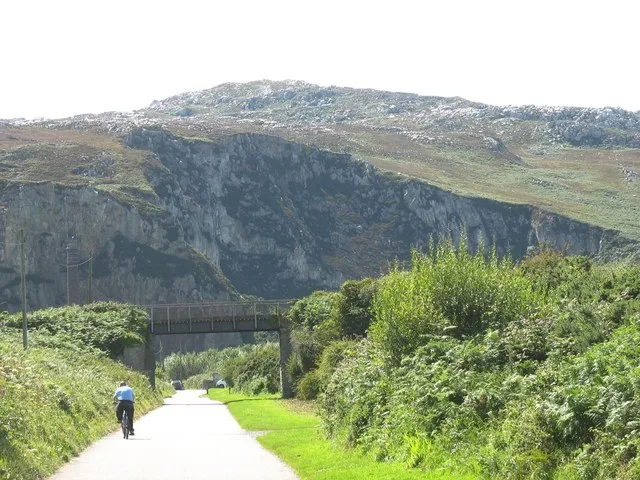
World War II Pillbox
World War II Pillbox is a fort in the United Kingdom.

Mike Searle — CC BY-SA 2.0 via Wikimedia Commons licence
_-_geograph.org.uk_-_5085717.jpg)
Plan your visit
- Typical visit
- 45 min–1.5 h
- Nearest railway station
- Holyhead · 2.9 km
About
World War II Pillbox is a historic fort or fortified site in the United Kingdom. Coordinates: 53.2819°, -4.6236°. This entry is part of The Great Britain Guide, a free, ad-free, open-data tourist directory.
Photo gallery
Place summary
The World War II Pillbox is a military fort located in Trearddur, North Wales. This structure served as a defensive position during the war and is part of the coastal fortifications established in the era. Its strategic placement reflects the military strategies employed during World War II.
AI-generated from the structured facts on this page (operator, designation, listing, era). Not a substitute for visiting.
- Coordinates
- 53.2819, -4.6236
- District
- Isle of Anglesey
- Parish
- Trearddur
- Postcode
- LL65 2US
- Parliamentary constituency
- Ynys Môn
- Nearest railway station
- Holyhead — 2.9 km
- Official site
- www.geograph.org.uk
Sources
- osm: w367326742 (ODbL)
Other places nearby
Loading nearby places…
Nearby
Hotels · North Wales
Trearddur Bay Hotel
Trearddur Bay Hotel — a hotel in wales north.
.jpg?width=1200) 📷 5
📷 5Towns & cities · North Wales
Trearddur
Trearddur — village and community on Holy Island, in Anglesey, Wales, UK.
 Flagship📷 3
Islands · North Wales
Holy Island
Holy Island — island next to the island of Anglesey, Wales.
 📷 3
📷 3Chapels · North Wales
Towyn y Capel
Towyn y Capel — vanished chapel in Trearddur Bay, Anglesey, Wales.
Campsites · North Wales
Tyn Towyn Campsite
Tyn Towyn Campsite — a campsite in wales north.
 📷 3
📷 3Beaches · North Wales
Porth Castell
Porth Castell is a beach in the United Kingdom.
More forts in this region
 📷 3
📷 3Forts · North Wales
Battle of Coleshill
Battle of Coleshill is a fort in the United Kingdom.
 📷 3
📷 3Forts · North Wales
Battle of Shrewsbury
Battle of Shrewsbury is a fort in the United Kingdom.
 📷 3
📷 3Forts · North Wales
Battle of Winwick
Battle of Winwick is a fort in the United Kingdom.
 📷 3
📷 3Forts · North Wales
Caer Gybi Roman Fort
Caer Gybi Roman Fort is a fort in the United Kingdom.
Frequently asked questions
- Where is World War II Pillbox?
- World War II Pillbox is in North Wales, in the United Kingdom — coordinates 53.2819°, -4.6236°. The nearest railway station is Holyhead, around 2.9 km away.