Towns & cities · East Midlands
Woodsetts
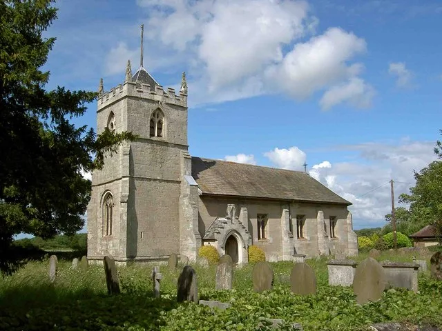
Woodsetts — village in South Yorkshire, England, UK.

Wikimedia Commons contributors — see linked file page for photographer and licence licence
Plan your visit
- Typical visit
- 3 h–6 h
- Nearest railway station
- Shireoaks · 2.8 km
- Free entry
- Family-friendly
- Dog-friendly
About
Woodsetts is a town, city, village or settlement in the United Kingdom. Recent population estimates put it at around 1,697 people. Address: S81. Wikidata describes it as: "village in South Yorkshire, England, UK". Coordinates: 53.3500°, -1.1667°.
Photo gallery
From the Wikipedia article
Woodsetts is a village and civil parish in the Metropolitan Borough of Rotherham in South Yorkshire, England, on the border with Nottinghamshire. It lies between the towns of Dinnington and Worksop at an elevation of around 60 metres above sea level, and has a population of 1,746 at the 2011 Census. The village originated as a medieval farming hamlet, the name Woodsetts was first recorded in 1220, but there is evidence of human settlement in the area from 80BC. The village grew rapidly in the late 19th century when a colliery was sunk at Dinnington. Woodsetts now serves as a commuter base for travellers between nearby towns.
Excerpt from Wikipedia under CC BY-SA 4.0. See the source article linked in Sources below.
Background
History
Woodsetts originated as a medieval hamlet, one of a cluster of hamlets in the area. The name 'Woodsetts' comes from the Middle English word 'Wodesete, meaning an enclosure or fold in the woods. although the first written record of Woodsetts was not until the 13th century, when a quitclaim (dated 1220) was produced that mentions a bovate of land 'in the territory of Lyndrick, in Wudsetes'; other nearby geographical references confirm that this refers to Woodsetts, the paper is now held at the Derbyshire Record Office (Hatfield de Rodes papers). The placement of the medieval village was likely due to the source of water in the streams to the North of the village, arable farming land, and the…
Sourced from Wikipedia under CC BY-SA 4.0.
- Coordinates
- 53.3500, -1.1667
- District
- Rotherham
- Parish
- Woodsetts
- Postcode
- S81
- Parliamentary constituency
- Rother Valley
- Population
- 1,697
- Nearest railway station
- Shireoaks — 2.8 km
Sources
- wikidata: Q1617091 (CC0)
- wikipedia: Woodsetts (CC BY-SA 4.0)
- commons: Woodsetts Village.jpg (CC BY-SA 4.0)
Other places nearby
Loading nearby places…
Nearby
 📷 3
📷 3Zoos & aquariums · East Midlands
Tropical Butterfly House
Tropical Butterfly House — a zoo aquarium in england-east-midlands, United Kingdom.
 📷 3
📷 3Historic bridges · East Midlands
Chesterfield Canal Bridge 37 And Turnerwood Lock With Associated Overflow Structure At Cinder Hill
Chesterfield Canal Bridge 37 And Turnerwood Lock With Associated Overflow Structure At Cinder Hill — Grade II listed building-listed bridge in england-east-midlands, United Kingdom.
 📷 5
📷 5Caves · East Midlands
Dead Man's Cave, Anston
Dead Man's Cave, Anston — a cave broad in england-east-midlands, United Kingdom.
 📷 5
📷 5Museums · East Midlands
Dinnington, South Yorkshire
Dinnington is a town in the civil parish of Dinnington St John's, in the Metropolitan Borough of Rotherham, in South Yorkshire, England. It is near to the towns of Worksop and Rotherham and cities of
 📷 3
📷 3Historic churches · East Midlands
St Peter's Church, Letwell
St Peter's Church, Letwell — church in Letwell, Rotherham, South Yorkshire, England, UK.
 📷 3
📷 3Memorials & monuments · East Midlands
Shireoaks War Memorial
Shireoaks War Memorial — Grade II listed building-listed memorial in england-east-midlands, United Kingdom.
More towns in this region
 Flagship📷 3
Towns & cities · East Midlands
Aldborough
Aldborough — village in Norfolk, England, UK.
 Flagship📷 4
Towns & cities · East Midlands
Alderford
Alderford — village and civil parish in Norfolk, UK.
 Flagship📷 5
Towns & cities · East Midlands
Ashmanhaugh
Ashmanhaugh — village in Norfolk, England, UK.
 Flagship📷 3
Towns & cities · East Midlands
Attlebridge
Attlebridge — a village located in Broadland, United Kingdom.
Frequently asked questions
- Where is Woodsetts?
- Woodsetts is in the East Midlands, United Kingdom (postcode S81), in the parish of Woodsetts.
- Is Woodsetts free to visit?
- Yes, Woodsetts is free to enter.
- How do I get to Woodsetts?
- The nearest railway station is Shireoaks, about 2.8 km away. Drivers can navigate to postcode S81.