Reservoirs & lochs · London
William Girling Reservoir
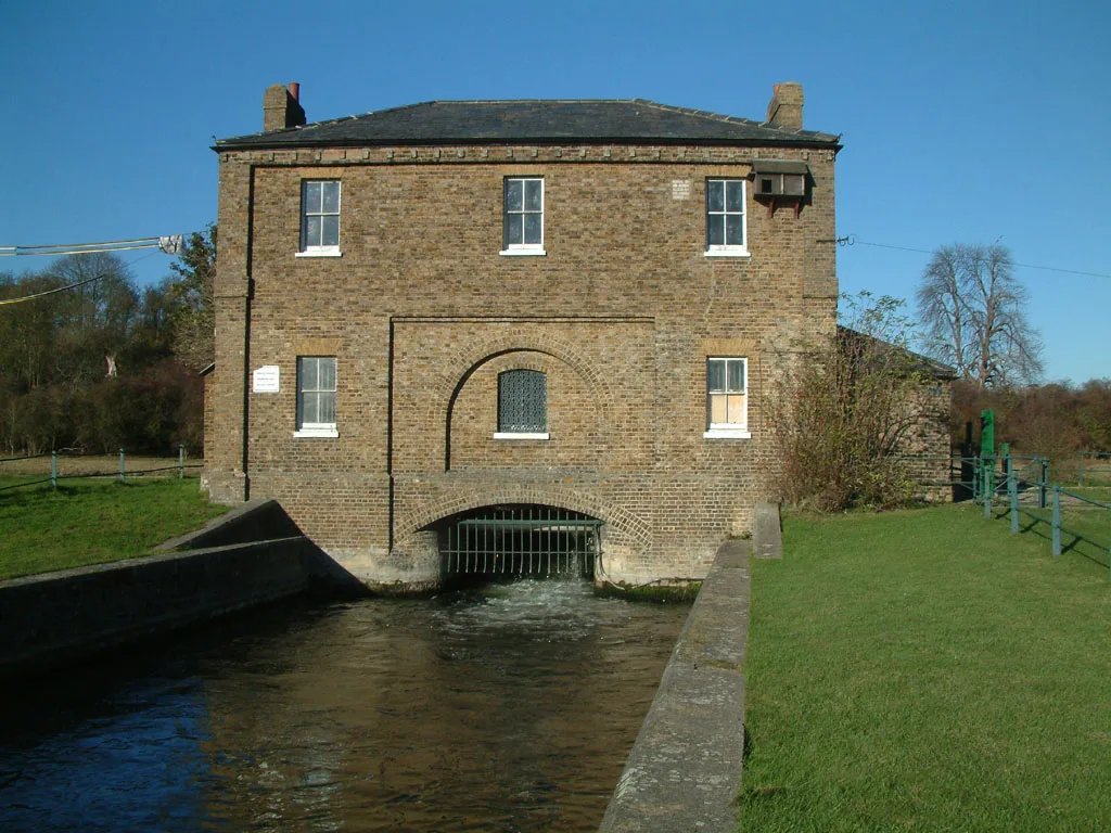
William Girling Reservoir — reservoir in the London Borough of Enfield, England, United Kingdom.

Wikimedia Commons contributors — see linked file page for photographer and licence licence
Plan your visit
- Typical visit
- 1 h–2.5 h
- Nearest railway station
- Ponders End · 1.4 km
- Free entry
- Dog-friendly
About
William Girling Reservoir is a reservoir in the United Kingdom. Managed by Thames Water. Named after William Henry Girling. Part of Chingford Reservoirs. Wikidata describes it as: "reservoir in the London Borough of Enfield, England, United Kingdom". Coordinates: 51.6316°, -0.0244°.
Photo gallery
Protected designations
- Site of Special Scientific Interest: Chingford Reservoirs SSSI
Designations sourced from Natural England open data under OGL v3.
From the Wikipedia article
The William Girling Reservoir is located in the London Borough of Enfield and is part of the Lee Valley Reservoir Chain that supplies London with drinking water. It is named after William Girling OBE, a chairman of the Metropolitan Water Board (MWB). The reservoir and the nearby King George V Reservoir are known collectively as the Chingford Reservoirs. The storage reservoir, which is owned by Thames Water, is bordered by Chingford to the east and Ponders End and Edmonton to the west, and covers 334 acres (135 hectares) with a perimeter of 3.5 miles (5.6 km). There is no public access.
Excerpt from Wikipedia under CC BY-SA 4.0. See the source article linked in Sources below.
Background
History
and the William Girling Reservoir in background]] The reservoir was conceived as part of an overall plan for the Lea Valley and laid before the Royal Commission on Water Supply (Balfour Committee) in 1893. At the time the responsible authority was the East London Waterworks Company. However, under the provisions of the Metropolis Water Act 1902, the undertakings of this and seven other companies were transferred to the Metropolitan Water Board (MWB). Work began in 1936 when the tender of John Mowlem (for £682,156) was accepted. The project was led by civil engineer, Robert Wynne-Edwards. Due to the use of mechanical scrapers and bulldozers, which were being used for the first time in…
Description
The geology of the site is alluvium underlain by river terrace gravels and in turn overlying the London Clay formation. The reservoir is formed by a continuous earthen embankment that encloses the basin. The embankments consist of a central puddle clay core with a selected material adjacent to the core forming a filter. The core is a maximum of 12 ft wide at the base and tapers to 5 ft wide at the crest. The core typically extends 3 ft into the London Clay to form a watertight cut off. The embankment shoulders consist of zones of ballast and filling material. The upper embankments slopes are 1 in 2.5 externally, whilst the lower slopes to the berm were constructed at a bank slope of 1 in 8.…
Sourced from Wikipedia under CC BY-SA 4.0.
- Coordinates
- 51.6316, -0.0244
- District
- Waltham Forest
- Parish
- Waltham Forest, unparished area
- Postcode
- E4 7SR
- Parliamentary constituency
- Chingford and Woodford Green
- Nearest railway station
- Ponders End — 1.4 km
Sources
- wikidata: Q7347117 (CC0)
- wikipedia: William Girling Reservoir (CC BY-SA 4.0)
- commons: Chingford Reservoirs.jpg (CC BY-SA 4.0)
Other places nearby
Loading nearby places…
Nearby
Caravan parks · London
Lea Valley Camping and Caravan Park
Lea Valley Camping and Caravan Park — a caravan park in england london.
 📷 5
📷 5Canal locks · London
Pickett's Lock
Pickett's Lock — lock in London Borough of Enfield, London, England, UK.
 📷 5
📷 5Reservoirs & lochs · London
Chingford Reservoirs
Chingford Reservoirs — reservoirs in the London Borough of Enfield, England, UK.
 📷 5
📷 5Canals · London
Lee Navigation
Lee Navigation — canalised portions of the River Lea in England.
 📷 5
📷 5Memorials & monuments · London
Bob Corbett
Bob Corbett — a memorial in england-london, United Kingdom.
Cinemas · London
Odeon Lee Valley
Odeon Lee Valley — a cinema in england london.
More places run by Thames Water
More places in this region
 Flagship📷 10
Reservoirs & lochs · London
Brent Reservoir
Brent Reservoir — reservoir which straddles the boundary between the London boroughs of Brent and Barnet, in England.
 Flagship📷 10
Reservoirs & lochs · London
Queen Mary Reservoir
Queen Mary Reservoir — lake in the United Kingdom.
 📷 5
📷 5Reservoirs & lochs · London
Aldenham Reservoir
Aldenham Reservoir — reservoir in Hertfordshire, England, UK.
 📷 5
📷 5Reservoirs & lochs · London
Banbury Reservoir
Banbury Reservoir — reservoir in the London Borough of Waltham Forest, England, United Kingdom.
Frequently asked questions
- Where is William Girling Reservoir?
- William Girling Reservoir is in London, United Kingdom (postcode E4 7SR), in the parish of Waltham Forest, unparished area.
- Who runs William Girling Reservoir?
- William Girling Reservoir is operated by Thames Water.
- Is William Girling Reservoir a protected site?
- Yes — William Girling Reservoir is part of the Chingford Reservoirs SSSI Site of Special Scientific Interest.
- How do I get to William Girling Reservoir?
- The nearest railway station is Ponders End, about 1.4 km away. Drivers can navigate to postcode E4 7SR.