Canals · London
Lee Navigation
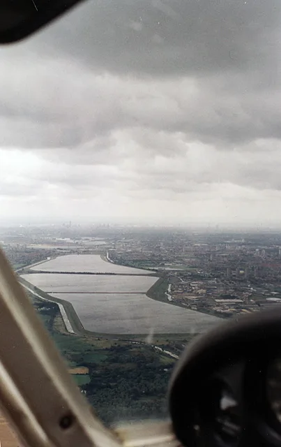
Lee Navigation — canalised portions of the River Lea in England.

Wikimedia Commons licence
Plan your visit
- Typical visit
- 1 h–2 h
- Nearest railway station
- Ponders End · 1.9 km
- Free entry
- Dog-friendly
About
Lee Navigation is a canal in the United Kingdom. Wikidata describes it as: "canalised portions of the River Lea in England". Coordinates: 51.6258°, -0.0325°.
Photo gallery
Protected designations
- Site of Special Scientific Interest: Chingford Reservoirs SSSI
Designations sourced from Natural England open data under OGL v3.
From the Wikipedia article
The Lee Navigation is a canalised river incorporating the River Lea (also called the River Lee along the sections that are navigable). It flows from Hertford Castle Weir to the River Thames at Bow Creek; its first lock is Hertford Lock and its last Bow Locks.
Excerpt from Wikipedia under CC BY-SA 4.0. See the source article linked in Sources below.
Background
History
The River Lea is a major tributary of the River Thames. It has a long association with navigation, as the marshes of Walthamstow have produced a dugout canoe from the Bronze Age and parts of a Saxon barge. According to the Anglo-Saxon Chronicle, the river was used by Viking raiders, and King Alfred changed the level of the river to strand Guthrum and his fleet. In more peaceful times, it became important for the transport of grain from Hertfordshire, but navigation of its southernmost tidal reaches of Bow Creek were difficult due to its tortuous meanders. | royal_assent = 14 July 1425 | commencement = 30 April 1425 | repeal_date = 30 July 1948 | repealing_legislation = Statute Law Revision…
Sourced from Wikipedia under CC BY-SA 4.0.
- Coordinates
- 51.6258, -0.0325
- District
- Enfield
- Parish
- Enfield, unparished area
- Postcode
- N9 0AT
- Parliamentary constituency
- Edmonton and Winchmore Hill
- Established
- 1771
- Nearest railway station
- Ponders End — 1.9 km
Sources
- wikidata: Q24677134 (CC0)
- wikipedia: Lee Navigation (CC BY-SA 4.0)
Other places nearby
Loading nearby places…
Nearby
 📷 5
📷 5Canal locks · London
Pickett's Lock
Pickett's Lock — lock in London Borough of Enfield, London, England, UK.
 📷 5
📷 5Memorials & monuments · London
Bob Corbett
Bob Corbett — a memorial in england-london, United Kingdom.
Caravan parks · London
Lea Valley Camping and Caravan Park
Lea Valley Camping and Caravan Park — a caravan park in england london.
 📷 5
📷 5Reservoirs & lochs · London
William Girling Reservoir
William Girling Reservoir — reservoir in the London Borough of Enfield, England, United Kingdom.
Cinemas · London
Odeon Lee Valley
Odeon Lee Valley — a cinema in england london.
 📷 5
📷 5Theatres · London
Classic Chingford
Classic Chingford in England London, United Kingdom.
More places in this region
 📷 5
📷 5Canals · London
Bottisham Lode
Bottisham Lode is a canal in the United Kingdom.
 📷 5
📷 5Canals · London
Burwell Lode
Burwell Lode is a canal in the United Kingdom.
 📷 5
📷 5Canals · London
Cambridgeshire Lodes
Cambridgeshire Lodes — series of man-made waterways in the county of Cambridgeshire, England.
 📷 5
📷 5Canals · London
Camden Market
Camden Market is a place of interest in the United Kingdom.
Frequently asked questions
- Where is Lee Navigation?
- Lee Navigation is in London, United Kingdom (postcode N9 0AT), in the parish of Enfield, unparished area.
- When was Lee Navigation built?
- Built or established in 1771.
- Is Lee Navigation a protected site?
- Yes — Lee Navigation is part of the Chingford Reservoirs SSSI Site of Special Scientific Interest.
- Is Lee Navigation free to visit?
- Yes, Lee Navigation is free to enter.
- How do I get to Lee Navigation?
- The nearest railway station is Ponders End, about 1.9 km away. Drivers can navigate to postcode N9 0AT.