Towns & cities · Yorkshire & the Humber
Westow
Westow — village and civil parish in North Yorkshire, England, UK.

Wikimedia Commons contributors — see linked file page for photographer and licence licence
Plan your visit
- Typical visit
- 3 h–6 h
- Nearest railway station
- Malton · 6.9 km
- Free entry
- Family-friendly
- Dog-friendly
About
Westow is a town, city, village or settlement in the United Kingdom. Recent population estimates put it at around 318 people. Wikidata describes it as: "village and civil parish in North Yorkshire, England, UK". Coordinates: 54.0775°, -0.8493°.
Photo gallery
Protected designations
- Site of Special Scientific Interest: River Derwent SSSI
- Area of Outstanding Natural Beauty: Howardian Hills
Designations sourced from Natural England open data under OGL v3.
From the Wikipedia article
Westow is a village and civil parish in North Yorkshire, England. Westow is situated in the lee of Spy Hill, bordering the Howardian Hills Area of Outstanding Natural Beauty, 3 miles (4.8 km) from the A64 road linking Leeds to the East Coast, 5 miles (8 km) west of the town of Malton, and 15 miles (24 km) east of the city of York. The village was within the historic boundaries of the East Riding of Yorkshire until 1974. From 1974 to 2023, it was part of the Ryedale district. It is now administered by North Yorkshire Council. The civil parish also includes the hamlets of Firby and Kirkham. The population of the civil parish was 339 in the 2011 Census. Neighbouring villages are Crambe, Whitwell-on-the-Hill, Welburn, Howsham, Leavening and Burythorpe. There are parish records in Westow dating back to the 16th century, and archeological evidence of human settlement in the area has been found dating back to the celts. The name Westow likely derives from West Howe, meaning hill.
Excerpt from Wikipedia under CC BY-SA 4.0. See the source article linked in Sources below.
Background
Architecture
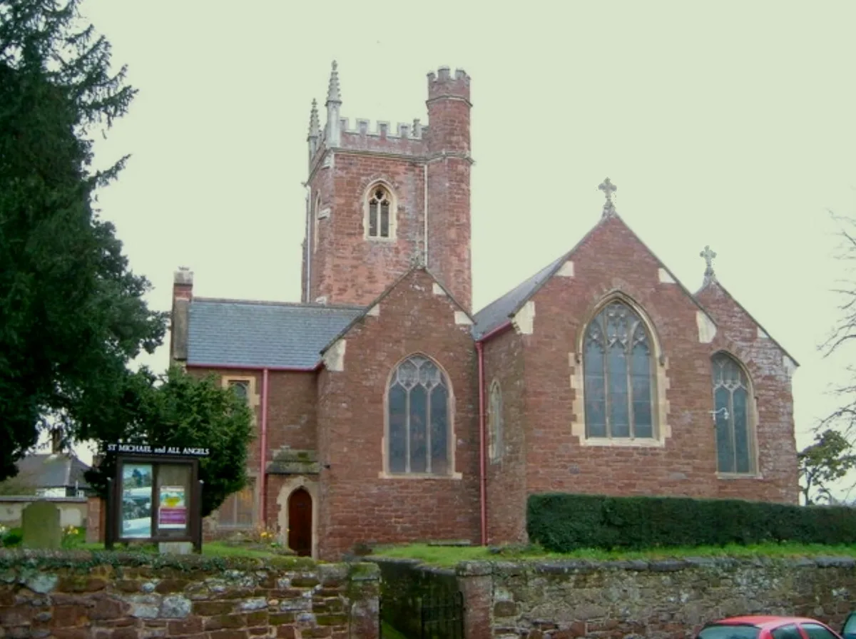
The oldest part of Westow village lies within a conservation area and is south of the village pub, along 'Main Street'. Property predominantly comprises detached, semi-detached and terraced houses and cottages, finished in traditional locally quarried oolite limestone, with red pan-tile roofs. There are fifteen Historic England listed properties in Westow. These include Westow Hall, a 17th-century house which was the residence of the 4th and 5th Baron Grimthorpe. The Church of St Mary, Westow, is a Norman church constructed with limestone rubble and ashlar – most of the church was demolished with only the tower remaining, and it was rebuilt on a much smaller scale, using the original stone,…
Sourced from Wikipedia under CC BY-SA 4.0.
- Coordinates
- 54.0775, -0.8493
- District
- North Yorkshire
- Parish
- Westow
- Postcode
- YO60 7NH
- Parliamentary constituency
- Thirsk and Malton
- Population
- 318
- Nearest railway station
- Malton — 6.9 km
Sources
- wikidata: Q985729 (CC0)
- wikipedia: Westow (CC BY-SA 4.0)
- commons: Westow From Spy Hill.jpg (CC BY-SA 4.0)
Other places nearby
Loading nearby places…
Nearby
 📷 5
📷 5Historic houses · Yorkshire & the Humber
Westow Hall
Westow Hall — house in Westow, Ryedale, England, UK.
 📷 5
📷 5Abbeys & priories · Yorkshire & the Humber
Kirkham Priory
Kirkham Priory — a Grade I-listed abbey in england-yorkshire, United Kingdom.
 📷 4
📷 4Towns & cities · Yorkshire & the Humber
Crambe
Crambe — village and civil parish in North Yorkshire, United Kingdom.
 📷 3
📷 3Historic churches · Yorkshire & the Humber
Church of St Michael
Church of St Michael — Grade I listed church in Ryedale, United Kingdom.
 📷 5
📷 5Historic bridges · Yorkshire & the Humber
Kirkham Bridge
Kirkham Bridge is a historic bridge in the United Kingdom.
Vineyards · Yorkshire & the Humber
Ox Carr Wood
Ox Carr Wood — a UK vineyard in england yorkshire, producing English or Welsh wine from cool-climate grape varieties.
More towns in this region
 Flagship📷 4
Towns & cities · Yorkshire & the Humber
Bradford
Bradford — city and largest settlement in the City of Bradford district, Yorkshire, England.
 Flagship📷 5
Towns & cities · Yorkshire & the Humber
Coxwold
Coxwold — village and civil parish in North Yorkshire, England.
 Flagship📷 5
Towns & cities · Yorkshire & the Humber
Great Ayton
Great Ayton — village in North Yorkshire, England, UK.
May2005.jpg?width=1200) Flagship📷 5
Flagship📷 5Towns & cities · Yorkshire & the Humber
Great Langton
Great Langton — village in North Yorkshire, England, UK.
Frequently asked questions
- Where is Westow?
- Westow is in Yorkshire, United Kingdom (postcode YO60 7NH), in the parish of Westow.
- Is Westow a protected site?
- Yes — Westow is part of the River Derwent SSSI Site of Special Scientific Interest and the Howardian Hills National Landscape (AONB).
- Is Westow free to visit?
- Yes, Westow is free to enter.
- How do I get to Westow?
- The nearest railway station is Malton, about 6.9 km away. Drivers can navigate to postcode YO60 7NH.