Reservoirs & lochs · North West England
Turton and Entwistle Reservoir
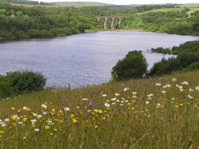
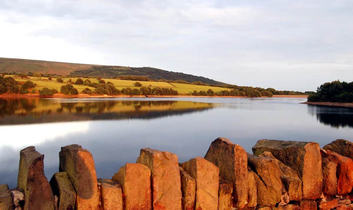
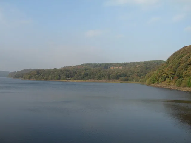
Turton and Entwistle Reservoir — reservoir in Lancashire, England, UK.

Wikimedia Commons contributors — see linked file page for photographer and licence licence
Plan your visit
- Typical visit
- 1 h–2.5 h
- Nearest railway station
- Entwistle · 0.8 km
- Free entry
- Dog-friendly
About
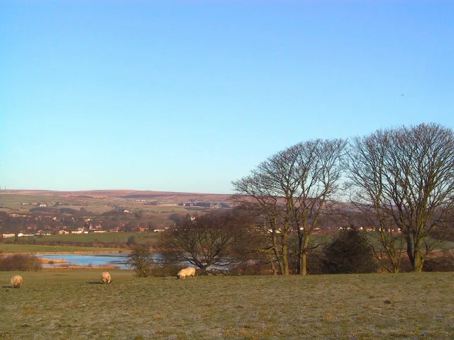
Turton and Entwistle Reservoir is a reservoir in the United Kingdom. Managed by Bolton Corporation Water Works. Wikidata describes it as: "reservoir in Lancashire, England, UK". Coordinates: 53.6539°, -2.4250°.
Photo gallery
Protected designations
- Site of Special Scientific Interest: West Pennine Moors SSSI
Designations sourced from Natural England open data under OGL v3.
From the Wikipedia article
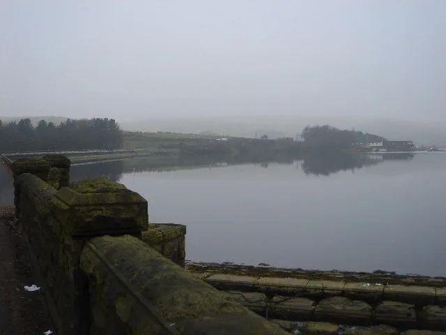
Turton and Entwistle Reservoir is a water reservoir in the village of Edgworth, Lancashire, England. The reservoir's existence is due to the Entwistle Dam. When constructed in 1832 the Entwistle Dam was the highest in Britain; it rises 108 feet from the base. The reservoir contains almost 750 thousand imperial gallons (roughly 3,400,000 litres) and, with the Wayoh Reservoir just below, satisfies around 50% of Bolton's need for drinking water. Entwistle Dam was designed by Thomas Ashworth, a local land surveyor, overseen by Jesse Hartley, the Liverpool Docks engineer. Other works were by Joseph Jackson, an engineer and surveyor from Bolton. It was built for the Commissioners of the Turton and Entwistle Reservoir, a group of local mill owners who obtained an enabling act of Parliament, the Turton and Entwistle Reservoir Act 1832 (2 & 3 Will. 4. c. xxiv) to regulate the supply of water in Bradshaw Brook for water power for the finishing textiles. Records suggest it was built entirely of puddle clay with no distinct core. Earth dams usually have a waterproof cutoff under their earthworks designed to stop seepage under the dam but it is doubtful whether there was any such a cutoff at Entwistle. The reservoir has a rock-cut outlet tunnel driven through the valley side rather than a culvert or pipeline and a siphon draw-off pipe. The dam is 108 ft high and 110 metres long at the crest. The present overflow channel and valve tower were added by the Bolton Corporation Waterworks who took over the reservoir in 1864.
Excerpt from Wikipedia under CC BY-SA 4.0. See the source article linked in Sources below.
- Coordinates
- 53.6539, -2.4250
- District
- Blackburn with Darwen
- Parish
- North Turton
- Postcode
- BL7 0LU
- Parliamentary constituency
- Rossendale and Darwen
- Nearest railway station
- Entwistle — 0.8 km
Sources
- wikidata: Q7362893 (CC0)
- wikipedia: Turton and Entwistle Reservoir (CC BY-SA 4.0)
- commons: Turton and Entwistle Reservoir.jpeg (CC BY-SA 4.0)
Other places nearby
Loading nearby places…
Nearby
 📷 3
📷 3Cemeteries · North West England
The West Pennine Remembrance Park
The West Pennine Remembrance Park is a cemetery in the United Kingdom.
 📷 3
📷 3Historic houses · North West England
Entwistle Hall
Entwistle Hall — house in North Turton, Blackburn with Darwen, England, UK.
 📷 4
📷 4Reservoirs & lochs · North West England
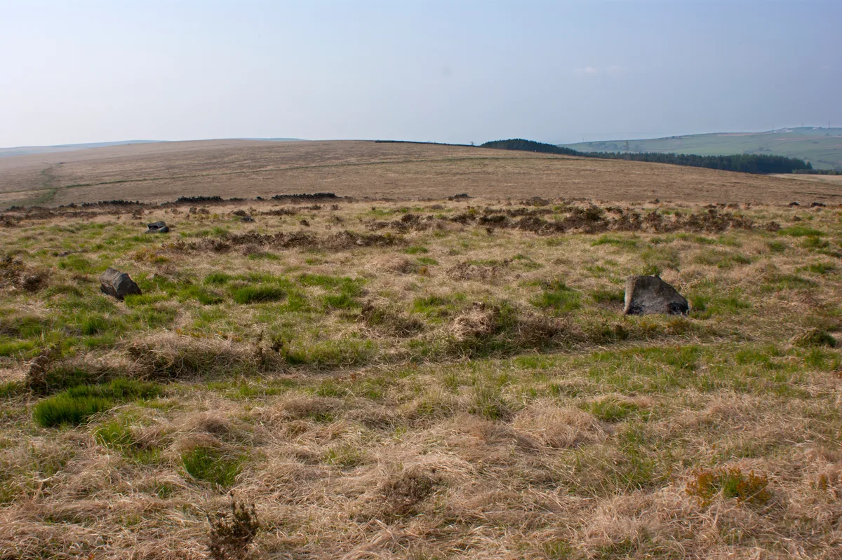
West Pennine Moors
The West Pennine Moors is an area of the Pennines covering approximately 90 square miles (230 km2) of moorland and reservoirs in Lancashire and Greater Manchester, England. It is a Site of Special Sci
 📷 5
📷 5Reservoirs & lochs · North West England
Wayoh Reservoir
Wayoh Reservoir — reservoir in Lancashire, England, UK.
 📷 3
📷 3Hill forts · North West England
Cheetham Close
Cheetham Close — megalithic site and scheduled ancient monument in North Turton, Lancashire, England, UK.
 📷 3
📷 3Stone circles · North West England
Druid Stone Circle
Druid Stone Circle — a stone circle in england-north-west, United Kingdom.
More places run by Bolton Corporation Water Works
 📷 3
📷 3Reservoirs & lochs · North West England
Belmont Reservoir
Belmont Reservoir — reservoir in Lancashire, England.
 📷 3
📷 3Reservoirs & lochs · North West England
Dingle Reservoir
Dingle Reservoir — reservoir in Lancashire, England, UK.
 📷 3
📷 3Reservoirs & lochs · North West England
High Rid Reservoir
High Rid Reservoir — reservoir in Greater Manchester, England, UK.
 📷 3
📷 3Reservoirs & lochs · North West England
Rumworth Lodge Reservoir
Rumworth Lodge Reservoir — reservoir in Greater Manchester, England, UK.
More places in this region
 Flagship📷 5
Reservoirs & lochs · North West England
Yarrow Reservoir
Yarrow Reservoir — reservoir in Lancashire, England, UK.
.jpg?width=1200) 📷 3
📷 3Reservoirs & lochs · North West England
Abbey Village Reservoir
Abbey Village Reservoir — reservoir in Lancashire, England, UK.
 📷 3
📷 3Reservoirs & lochs · North West England
Anglezarke Reservoir
Anglezarke Reservoir — reservoir in Lancashire, England, UK.
 📷 3
📷 3Reservoirs & lochs · North West England
Ashworth Moor Reservoir
Ashworth Moor Reservoir — reservoir in Greater Manchester, England, UK.
Frequently asked questions
- Where is Turton and Entwistle Reservoir?
- Turton and Entwistle Reservoir is in North-West England, United Kingdom (postcode BL7 0LU), in the parish of North Turton.
- Who runs Turton and Entwistle Reservoir?
- Turton and Entwistle Reservoir is operated by Bolton Corporation Water Works.
- Is Turton and Entwistle Reservoir a protected site?
- Yes — Turton and Entwistle Reservoir is part of the West Pennine Moors SSSI Site of Special Scientific Interest.
- How do I get to Turton and Entwistle Reservoir?
- The nearest railway station is Entwistle, about 0.8 km away. Drivers can navigate to postcode BL7 0LU.