Mountains & hills · North East England
The Knott
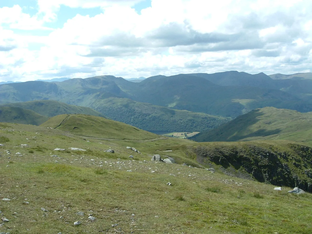
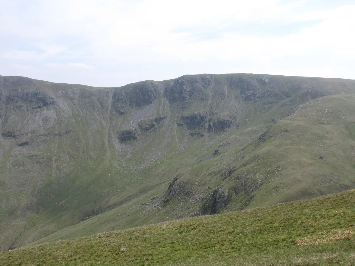
The Knott — Named summit at 739 m.

Wikimedia Commons contributors — see linked file page for photographer and licence licence
Plan your visit
- Typical visit
- 3 h–8 h
- Best time of year
- Late spring – early autumn (May–Oct)
- Free entry
- Dog-friendly
About
The Knott is a named summit in the United Kingdom. Wikidata describes it as: "Named summit at 739 m.". Coordinates: 54.5063°, -2.8708°.
Photo gallery
Protected designations
- Site of Special Scientific Interest: River Eden and Tributaries SSSI
Designations sourced from Natural England open data under OGL v3.
From the Wikipedia article
The Knott is a fell in the English Lake District, standing above Hayeswater in the Far Eastern Fells. It is an outlier of Rampsgill Head, being the high point of the ridge from there to Rest Dodd.
Excerpt from Wikipedia under CC BY-SA 4.0. See the source article linked in Sources below.
- Coordinates
- 54.5063, -2.8708
- Address
- Cumbria, England
Sources
- osm: n671492533 (ODbL)
- wikipedia: The Knott (CC BY-SA 4.0)
- commons: TheKnott.jpg (CC BY-SA 4.0)
Other places nearby
Loading nearby places…
Nearby
 📷 3
📷 3Natural landmarks · North East England
The Knott
The Knott — mountain near Hayeswater, in Cumbria, England, UK.
 📷 3
📷 3Natural landmarks · North East England
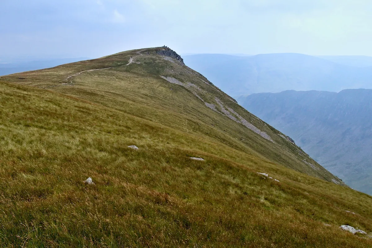
Rampsgill Head
Rampsgill Head — fell in the English Lake District.
 📷 3
📷 3Mountains & hills · North East England
Rampsgill Head (summit)
Rampsgill Head (summit) — Named summit at 792.4 m.
 📷 3
📷 3Natural landmarks · North East England
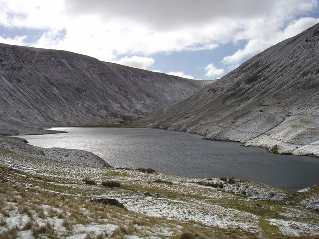
Hayeswater
Hayeswater — lake in Cumbria, England, UK.
 📷 3
📷 3Natural landmarks · North East England
Kidsty Pike
Kidsty Pike — mountain in the United Kingdom.
 📷 3
📷 3Mountains & hills · North East England
Kidsty Pike
Kidsty Pike — Named summit at 781 m.
More mountains in this region
 📷 3
📷 3Mountains & hills · North East England
Angletarn Pikes
Angletarn Pikes — Named summit at 566 m.
 📷 3
📷 3Mountains & hills · North East England
Angletarn Pikes South Top
Angletarn Pikes South Top — Named summit at 563.6 m.
 📷 3
📷 3Mountains & hills · North East England
Ard Crags
Ard Crags — Named summit at 581 m.
 📷 3
📷 3Mountains & hills · North East England
Arnison Crag
Arnison Crag — Named summit at 433 m.
Frequently asked questions
- Where is The Knott?
- The Knott is in North-East England, United Kingdom.
- Is The Knott a protected site?
- Yes — The Knott is part of the River Eden and Tributaries SSSI Site of Special Scientific Interest.
- Is The Knott free to visit?
- Yes, The Knott is free to enter.