Mountains & hills · North East England
Rampsgill Head (summit)
Rampsgill Head (summit) — Named summit at 792.4 m.

Wikimedia Commons contributors — see linked file page for photographer and licence licence
Plan your visit
- Typical visit
- 3 h–8 h
- Best time of year
- Late spring – early autumn (May–Oct)
- Free entry
- Dog-friendly
About
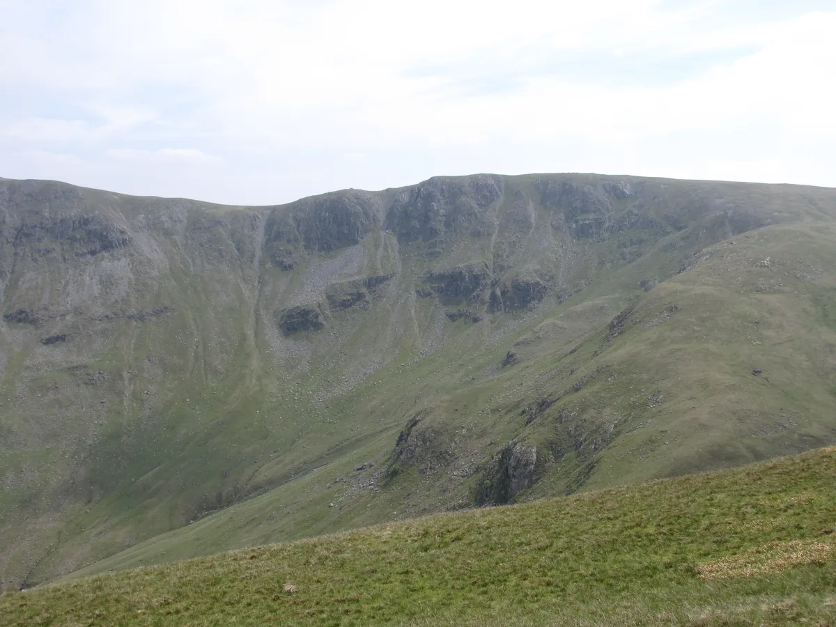
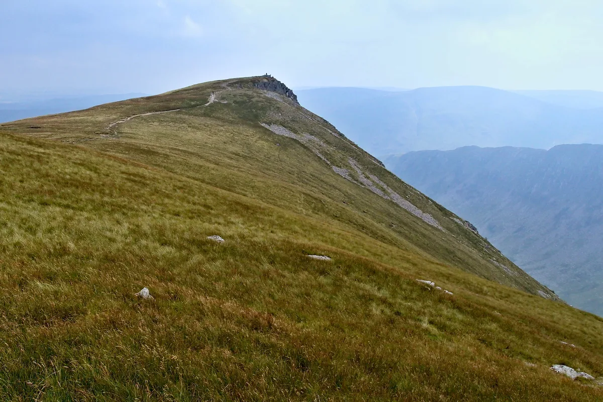
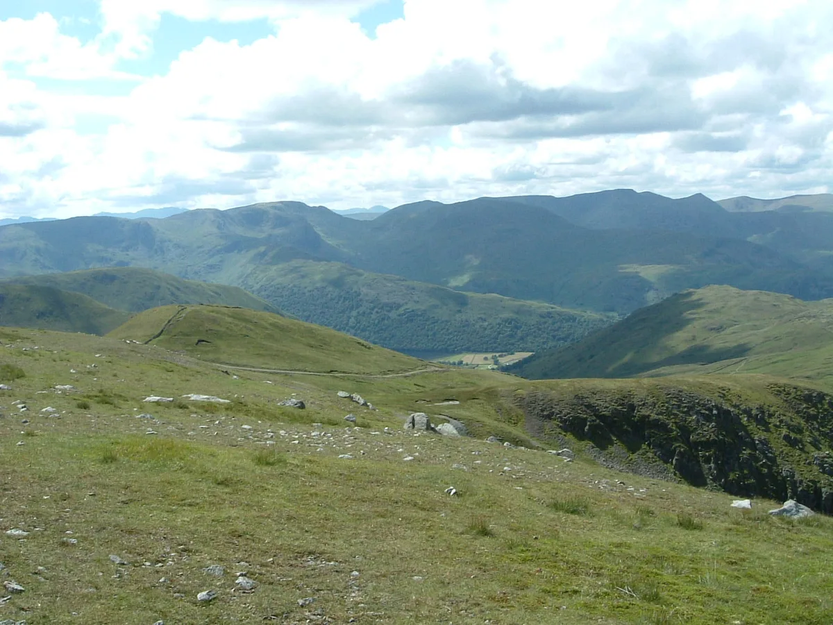
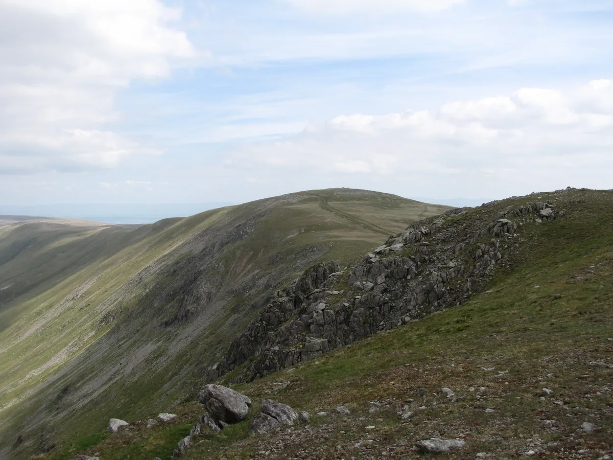
Rampsgill Head (summit) is a named summit in the United Kingdom. Wikidata describes it as: "Named summit at 792.4 m.". Coordinates: 54.5081°, -2.8613°.
Photo gallery
Protected designations
- Site of Special Scientific Interest: River Eden and Tributaries SSSI
Designations sourced from Natural England open data under OGL v3.
From the Wikipedia article
Rampsgill Head is a fell in the English Lake District, standing to the west of Haweswater Reservoir in the Far Eastern Fells. It forms the focal point of three ridges which fan out north-east, north-west and south.
Excerpt from Wikipedia under CC BY-SA 4.0. See the source article linked in Sources below.
- Coordinates
- 54.5081, -2.8613
- Address
- Cumbria, England
Sources
- osm: n5446739530 (ODbL)
- wikipedia: Rampsgill Head (CC BY-SA 4.0)
- commons: Rampsgill Head from Rest Dodd.JPG (CC BY-SA 4.0)
Other places nearby
Loading nearby places…
Nearby
 📷 3
📷 3Natural landmarks · North East England
Rampsgill Head
Rampsgill Head — fell in the English Lake District.
 📷 3
📷 3Natural landmarks · North East England
Kidsty Pike
Kidsty Pike — mountain in the United Kingdom.
 📷 3
📷 3Mountains & hills · North East England
Kidsty Pike
Kidsty Pike — Named summit at 781 m.
 📷 3
📷 3Mountains & hills · North East England
The Knott
The Knott — Named summit at 739 m.
 📷 3
📷 3Natural landmarks · North East England
The Knott
The Knott — mountain near Hayeswater, in Cumbria, England, UK.
 📷 3
📷 3Mountains & hills · North East England
High Raise
High Raise — Named summit at 803.6 m.
More mountains in this region
 📷 3
📷 3Mountains & hills · North East England
Angletarn Pikes
Angletarn Pikes — Named summit at 566 m.
 📷 3
📷 3Mountains & hills · North East England
Angletarn Pikes South Top
Angletarn Pikes South Top — Named summit at 563.6 m.
 📷 3
📷 3Mountains & hills · North East England
Ard Crags
Ard Crags — Named summit at 581 m.
 📷 3
📷 3Mountains & hills · North East England
Arnison Crag
Arnison Crag — Named summit at 433 m.
Frequently asked questions
- Where is Rampsgill Head (summit)?
- Rampsgill Head (summit) is in North-East England, United Kingdom.
- Is Rampsgill Head (summit) a protected site?
- Yes — Rampsgill Head (summit) is part of the River Eden and Tributaries SSSI Site of Special Scientific Interest.
- Is Rampsgill Head (summit) free to visit?
- Yes, Rampsgill Head (summit) is free to enter.