Natural landmarks · North East England
Hayeswater
Hayeswater — lake in Cumbria, England, UK.

Wikimedia Commons contributors — see linked file page for photographer and licence licence
Plan your visit
- Typical visit
- 1 h–2 h
- Free entry
- Dog-friendly
About
Hayeswater is a named natural landmark in the United Kingdom. Wikidata describes it as: "lake in Cumbria, England, UK". Coordinates: 54.5014°, -2.8800°.
Photo gallery
Protected designations
- Site of Special Scientific Interest: River Eden and Tributaries SSSI
Designations sourced from Natural England open data under OGL v3.
From the Wikipedia article
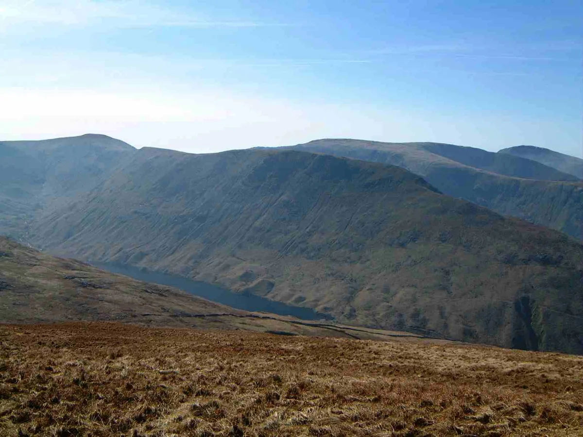
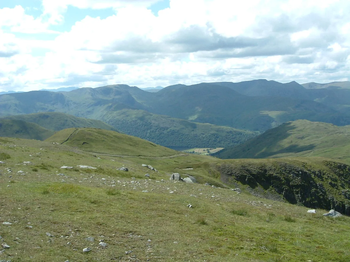
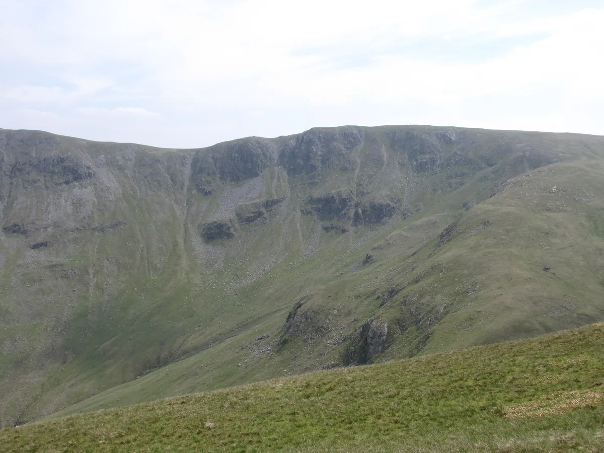
Hayeswater is a small lake within the Lake District of Cumbria, England. The lake is situated about a mile (1.6 km) SE of the hamlet of Hartsop in the Patterdale Valley. It nestles between The Knott to its east and Gray Crag to the west and it is at an altitude of almost 1,400 feet (425 m). The lake is natural but was dammed in 1908 to provide a reservoir serving the Cumbrian town of Penrith. It is fed from the south by Hayeswater Gill, which rises close to the route of the Roman High Street and continues to Cow Bridge where it joins the outlet stream from Brothers Water. It had not been used as a reservoir since 2005 and United Utilities removed the dam and restored it to a mountain tarn in the summer of 2014. A new footbridge over Hayeswater Beck was also constructed 250 yards downstream from the tarn outlet channel. Hayeswater Tarn is also a popular yet remote destination for adventurous anglers and fly fishermen and women, with the tarn holding a good number of native wild brown trout. Tadpoles, caddis and olives are prolific and make up a big part of the trout`s diet. On occasion osprey can be seen over the tarn.
Excerpt from Wikipedia under CC BY-SA 4.0. See the source article linked in Sources below.
- Coordinates
- 54.5014, -2.8800
- Address
- Lake District, Cumbria
Sources
- wikidata: Q1591929 (CC0)
- wikipedia: Hayeswater (CC BY-SA 4.0)
- commons: Hayeswater - geograph.org.uk - 374565.jpg (CC BY-SA 4.0)
Other places nearby
Loading nearby places…
Nearby
 📷 3
📷 3Mountains & hills · North West England
Gray Crag
Gray Crag — Named summit at 698.1 m.
 📷 3
📷 3Natural landmarks · North West England
Gray Crag
Gray Crag — mountain in United Kingdom.
 📷 3
📷 3Natural landmarks · North East England
The Knott
The Knott — mountain near Hayeswater, in Cumbria, England, UK.
 📷 3
📷 3Mountains & hills · North East England
The Knott
The Knott — Named summit at 739 m.
 📷 3
📷 3Natural landmarks · North East England
Rampsgill Head
Rampsgill Head — fell in the English Lake District.
 📷 3
📷 3Mountains & hills · North East England
Rampsgill Head (summit)
Rampsgill Head (summit) — Named summit at 792.4 m.
More natural landmarks in this region
 Flagship📷 5
Natural landmarks · North East England
Brothers Water
Brothers Water — lake in Cumbria, England, UK.
 📷 5
📷 5Natural landmarks · North East England
Angle Tarn
Angle Tarn — lake near Patterdale, Cumbria, England, United Kingdom.
 📷 3
📷 3Natural landmarks · North East England
Angletarn Pikes
Angletarn Pikes — mountain in United Kingdom.
 📷 3
📷 3Natural landmarks · North East England
Ard Crags
Ard Crags — mountain in United Kingdom.
Frequently asked questions
- Where is Hayeswater?
- Hayeswater is in North-East England, United Kingdom.
- Is Hayeswater a protected site?
- Yes — Hayeswater is part of the River Eden and Tributaries SSSI Site of Special Scientific Interest.
- Is Hayeswater free to visit?
- Yes, Hayeswater is free to enter.