Canals · North West England
The Goit
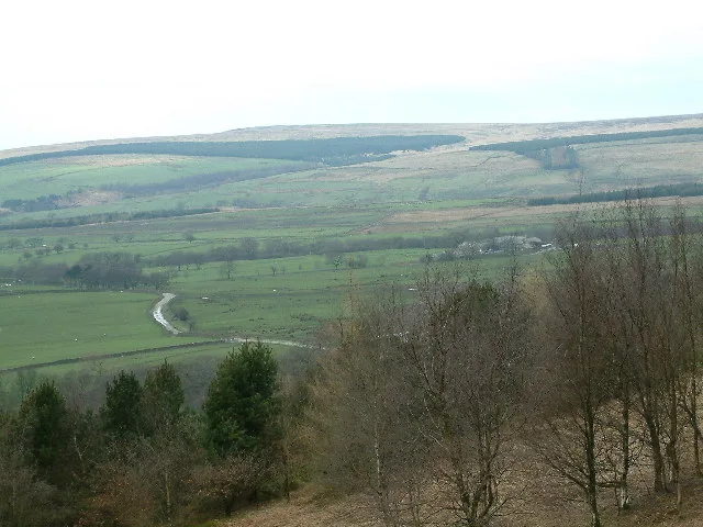
The Goit — Canal in Lancashire, England.

Wikimedia Commons contributors — see linked file page for photographer and licence licence
Plan your visit
- Typical visit
- 1 h–2 h
- Nearest railway station
- Chorley · 3.9 km
- Free entry
- Dog-friendly
About
The Goit is a canal in the United Kingdom. Wikidata describes it as: "Canal in Lancashire, England". Coordinates: 53.6700°, -2.5750°.
Photo gallery
Protected designations
- Site of Special Scientific Interest: West Pennine Moors SSSI
Designations sourced from Natural England open data under OGL v3.
From the Wikipedia article
The Goit (sometimes written The Goyt) (see Oxford English Dictionary - Gote - a watercourse; any channel for water; a stream. Chiefly northern dialect.) is a canal used for transporting drinking water along the Rivington chain in Lancashire, England. The section in Brinscall is currently covered, and a local campaign is ongoing to attempt to uncover the water. The Goit is now uncovered from Brinscall down to Anglezarke, passing through White Coppice, a path follows its course the whole way on either side.
Excerpt from Wikipedia under CC BY-SA 4.0. See the source article linked in Sources below.
- Coordinates
- 53.6700, -2.5750
- County
- Lancashire
- District
- Chorley
- Parish
- Heapey
- Postcode
- PR6 9DD
- Parliamentary constituency
- Chorley
- Nearest railway station
- Chorley — 3.9 km
Sources
- wikidata: Q7736956 (CC0)
- wikipedia: The Goit (CC BY-SA 4.0)
- commons: The Goit at White Coppice.jpg (CC BY-SA 4.0)
Other places nearby
Loading nearby places…
Nearby
 📷 3
📷 3Historic houses · North West England
Coppice Stile House
Coppice Stile House — a historic house in england-north-west, United Kingdom.
 📷 3
📷 3Historic houses · North West England
Grimes
Grimes — a historic house in england-north-west, United Kingdom.
 📷 3
📷 3Natural landmarks · North West England
Grain Pole Hill
Grain Pole Hill — mountain in United Kingdom.
 📷 3
📷 3Natural landmarks · North West England
Hurst Hill
Hurst Hill — mountain in United Kingdom.
Mountain bike trails · North West England
Healey Nab Mountain Bike Trail
Healey Nab Mountain Bike Trail — a mtb trail in england north west.
 📷 3
📷 3Memorials & monuments · North West England
Brinscall War Memorial
Brinscall War Memorial — a memorial in england-north-west, United Kingdom.
More places in this region
 📷 3
📷 3Canals · North West England
Douglas Navigation
Douglas Navigation is a canal in the United Kingdom.
 📷 5
📷 5Canals · North West England
Fairbottom Branch Canal
Fairbottom Branch Canal is a canal in the United Kingdom.
 📷 5
📷 5Canals · North West England
Fletcher's Canal
Fletcher's Canal — canal in Greater Manchester, England.
 📷 3
📷 3Canals · North West England
Haslingden Canal
Haslingden Canal is a canal in the United Kingdom.
Frequently asked questions
- Where is The Goit?
- The Goit is in Lancashire, North-West England, United Kingdom (postcode PR6 9DD), in the parish of Heapey.
- Is The Goit a protected site?
- Yes — The Goit is part of the West Pennine Moors SSSI Site of Special Scientific Interest.
- Is The Goit free to visit?
- Yes, The Goit is free to enter.
- How do I get to The Goit?
- The nearest railway station is Chorley, about 3.9 km away. Drivers can navigate to postcode PR6 9DD.