Viewpoints · West Midlands
The Cloud
The Cloud is a viewpoint in the United Kingdom.

Wikimedia Commons contributors — see linked file page for photographer and licence licence
Plan your visit
- Typical visit
- 20 min–45 min
- Best time of year
- Clear days year-round
- Nearest railway station
- Congleton · 3.5 km
- Free entry
- Dog-friendly
About
The Cloud is a named viewpoint in the United Kingdom. Coordinates: 53.1700°, -2.1441°. This entry is part of The Great Britain Guide, a free, ad-free, open-data tourist directory.
Photo gallery
From the Wikipedia article
The Cloud or Bosley Cloud is a prominent hill on the border between Cheshire and Staffordshire a couple of miles west of the Peak District National Park boundary. At 343 metres (1,125 ft) in height, it is one of the highest hills in the area. Its heather-covered summit plateau is crowned by a trig point from which there are extensive views over Congleton, Biddulph, Macclesfield, Holmes Chapel and the Greater Manchester area. The Cloud is at the northern apex of a triangle formed by the broken ridge which runs along the border between Cheshire and Staffordshire and the hills stretching south through Biddulph Moor into Staffordshire. To its north, the River Dane wraps around its lower slopes whilst the A523 road runs to its east through the village of Bosley in Southeast Cheshire. Even though The Cloud is just outside of the official boundary of the Peak District National Park, it is one of the 95 Ethels hills of the Peak District, launched by the countryside charity CPRE in 2021.
Excerpt from Wikipedia under CC BY-SA 4.0. See the source article linked in Sources below.
Background
Visiting
The summit and adjacent slopes of the hill are owned by the National Trust and so have been available for public access over many years, a situation reinforced by the additional pedestrian access measures provided by the Countryside and Rights of Way Act 2000. Several public footpaths cross the hill and provide links with the network of minor roads which run around its lower slopes. The shared route of the Staffordshire Way and the Gritstone Trail recreational paths runs up to the summit from Timbersbrook en route for the Dane Valley.
Sourced from Wikipedia under CC BY-SA 4.0.
- Coordinates
- 53.1700, -2.1441
- County
- Staffordshire
- District
- Staffordshire Moorlands
- Parish
- Rushton
- Postcode
- CW12 3QG
- Parliamentary constituency
- Staffordshire Moorlands
- Nearest railway station
- Congleton — 3.5 km
Sources
- osm: n638787201 (ODbL)
- wikipedia: The Cloud (hill) (CC BY-SA 4.0)
- commons: BosleyCloud.jpg (CC BY-SA 4.0)
Other places nearby
Loading nearby places…
Nearby
 📷 3
📷 3Natural landmarks · West Midlands
Timbersbrook Picnic Area
Timbersbrook Picnic Area — a other in england-west-midlands, United Kingdom.
 📷 3
📷 3Hill forts · West Midlands
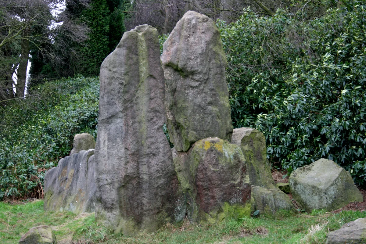
The Bridestones
The Bridestones — burial chamber in Cheshire, England, UK.
 📷 3
📷 3Archaeological sites · West Midlands
Bridestones Burial Chamber
Bridestones Burial Chamber — a archaeological in england-west-midlands, United Kingdom.
 📷 3
📷 3Historic bridges · West Midlands
Macclesfield Canal Bridge Number 58 at SJ 9024 6514
Macclesfield Canal Bridge Number 58 at SJ 9024 6514 — Grade II listed building-listed bridge in england-west-midlands, United Kingdom.
 📷 3
📷 3Historic bridges · West Midlands
Macclesfield Canal Bridge Number 57 at SJ 9051 6518
Macclesfield Canal Bridge Number 57 at SJ 9051 6518 — Grade II listed building-listed bridge in england-west-midlands, United Kingdom.
 📷 3
📷 3Historic bridges · West Midlands
Lymford Bridge
Lymford Bridge — Grade II listed building-listed bridge in england-west-midlands, United Kingdom.
More viewpoints in this region
 📷 4
📷 4Viewpoints · West Midlands
Ambion Hill
Ambion Hill is a viewpoint in the United Kingdom.
 📷 3
📷 3Viewpoints · West Midlands
Apedale Winding Wheel
Apedale Winding Wheel is a viewpoint in the United Kingdom.
 📷 3
📷 3Viewpoints · West Midlands
Baggeridge Toposcope
Baggeridge Toposcope is a viewpoint in the United Kingdom.
 📷 3
📷 3Viewpoints · West Midlands
Barrett Bridge
Barrett Bridge is a viewpoint in the United Kingdom.
Frequently asked questions
- Where is The Cloud?
- The Cloud is in Staffordshire, the West Midlands, United Kingdom (postcode CW12 3QG), in the parish of Rushton.
- Is The Cloud free to visit?
- Yes, The Cloud is free to enter.
- How do I get to The Cloud?
- The nearest railway station is Congleton, about 3.5 km away. Drivers can navigate to postcode CW12 3QG.