Natural landmarks · South East England
Thames Path
184-mile National Trail along the Thames from source to the Barrier.

Roger Templeman — CC BY-SA 2.0 via Wikimedia Commons licence
Plan your visit
- Typical visit
- 1 h–2 h
- Free entry
- Dog-friendly
About
The Thames Path is the National Trail (1996) following the River Thames for 184 miles from its source near Kemble in Gloucestershire to the Thames Barrier in east London. Mostly flat, well-signed, and accessible by train at most points — popular for week-long or weekend sections.
Photo gallery
From the Wikipedia article
The Thames Path is a National Trail following the River Thames from one of its sources near Kemble in Gloucestershire to the Woolwich foot tunnel, south east London. It is about 185 miles (298 km) long. A path was first proposed in 1948 but it only opened in 1996. In theory, the Thames Path's entire length can be walked, and a few parts can be cycled, but certain sections are closed for an indefinite period, including Temple Bridge at Hurley and Marsh Lock in Henley (see section below). Some parts of the Thames Path, particularly west of Oxford, are subject to flooding during the winter. The river is tidal downstream from Teddington Lock and the lower parts of these paths may be underwater at spring tides, although the Thames Barrier protects London from catastrophic flooding. The Thames Path uses the river towpath between Inglesham and Putney and available paths elsewhere. Historically, towpath traffic crossed the river using many ferries, but few of these crossings exist now and some diversion from the towpath is necessary. The Thames Path meets The Ridgeway National Trail at the Goring Gap, where the trails use opposite banks of the River Thames between Goring-on-Thames and Mongewell; the Thames Path follows the western bank and The Ridgeway the eastern.
Excerpt from Wikipedia under CC BY-SA 4.0. See the source article linked in Sources below.
Background
Description
The general aim of the path is to provide walkers with a pleasant route alongside the river. The way this is achieved naturally falls into three distinct areas, depending on the nature of the river in the area.
Sourced from Wikipedia under CC BY-SA 4.0.
- Coordinates
- 51.5500, -1.0000
- County
- Oxfordshire
- District
- South Oxfordshire
- Parish
- Highmoor
- Postcode
- RG9 5PJ
- Parliamentary constituency
- Henley and Thame
Sources
- manual: thames-path (manual)
- wikipedia: Thames Path (CC BY-SA 4.0)
Featured in this guide
Other places nearby
Loading nearby places…
Nearby
 📷 5
📷 5Public art & sculpture · South East England
Wooden Elephant
Wooden Elephant — a public art in england-south-east, United Kingdom.
 📷 5
📷 5Natural landmarks · South East England
Maharajah's Well
Maharajah's Well — a other in england-south-east, United Kingdom.
 📷 5
📷 5Manor houses · South East England
Bassett Manor
Bassett Manor — Grade II listed building-listed manor in england-south-east, United Kingdom.
 📷 5
📷 5Historic houses · South East England
Joyce Grove
Joyce Grove — a Grade II*-listed historic house in england-south-east, United Kingdom.
 📷 5
📷 5Historic houses · South East England
Old Brick Kiln
Old Brick Kiln — a historic house in england-south-east, United Kingdom.
 📷 5
📷 5Natural landmarks · South East England
Horse Wheel
Horse Wheel — a other in england-south-east, United Kingdom.
Other natural landmarks from this era
_(cropped).JPG?width=1200) 📷 5
📷 5Natural landmarks · London
George Stuart White
George Stuart White — Public artwork (statue).
 📷 5
📷 5Natural landmarks · London
Homage to Leonardo
Homage to Leonardo — Public artwork (statue).
 📷 5
📷 5Natural landmarks · London
John Keats
John Keats — Public artwork (statue) by Stuart Williamson.
 📷 5
📷 5Natural landmarks · London
José de San Martín
José de San Martín — Public artwork (statue).
More natural landmarks in this region
 📷 5
📷 5Natural landmarks · South East England
Bexhill Rotary Club Coin Collector
Bexhill Rotary Club Coin Collector — Public artwork (sculpture) by Jordan Whitewood-Neal and Michael Whiting.
 📷 5
📷 5Natural landmarks · South East England
Blue Pool
Blue Pool — lake in Dorset, England, UK.
 📷 5
📷 5Natural landmarks · South East England
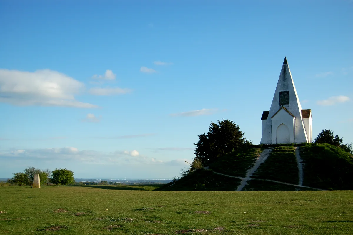
Farley Mount
Farley Mount — hill in Hampshire, United Kingdom.
 📷 5
📷 5Natural landmarks · South East England
Fonthill Lake
Fonthill Lake — lake in Wiltshire, England, UK.
Frequently asked questions
- Where is Thames Path?
- Thames Path is in Oxfordshire, South-East England, United Kingdom (postcode RG9 5PJ), in the parish of Highmoor.
- When was Thames Path built?
- Dates from the modern period.
- Is Thames Path free to visit?
- Yes, Thames Path is free to enter.
- How do I get to Thames Path?
- Drivers can navigate to postcode RG9 5PJ. It sits within the Henley and Thame parliamentary constituency.