Natural landmarks · North East England
Stybarrow Dodd
Stybarrow Dodd — mountain in United Kingdom.

Wikimedia Commons contributors — see linked file page for photographer and licence licence
Plan your visit
- Typical visit
- 1 h–2 h
- Nearest railway station
- Threlkeld Quarry · 5.6 km
- Free entry
- Dog-friendly
About
Stybarrow Dodd is a named natural landmark in the United Kingdom. Wikidata describes it as: "mountain in United Kingdom". Coordinates: 54.5611°, -3.0175°.
Photo gallery
Protected designations
- Site of Special Scientific Interest: River Derwent and Tributaries SSSI
- Site of Special Scientific Interest: River Eden and Tributaries SSSI
Designations sourced from Natural England open data under OGL v3.
From the Wikipedia article
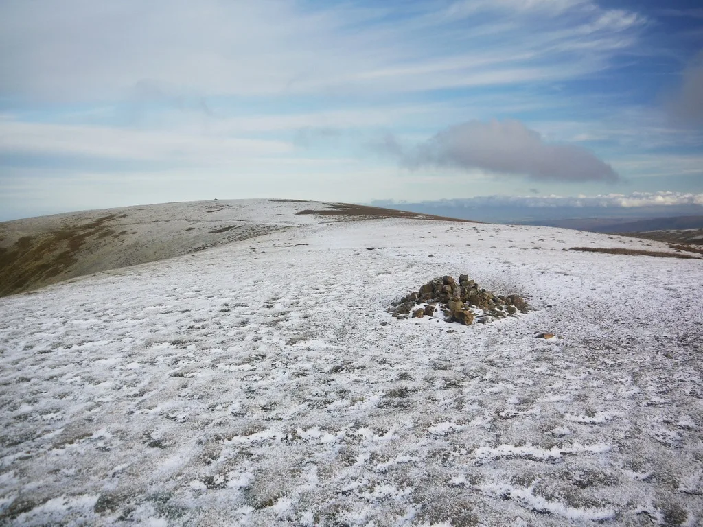
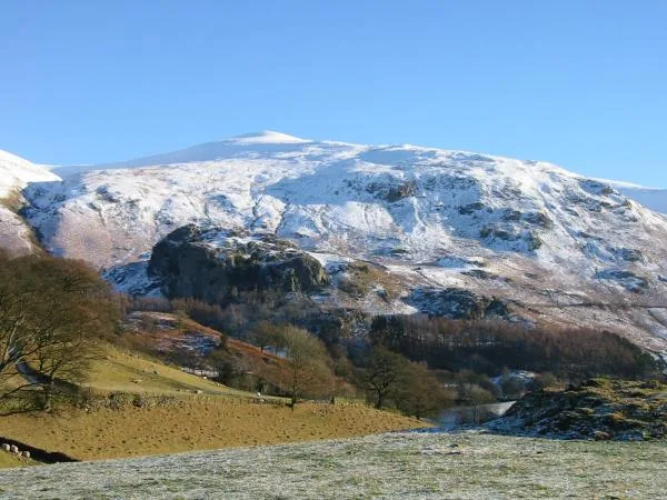
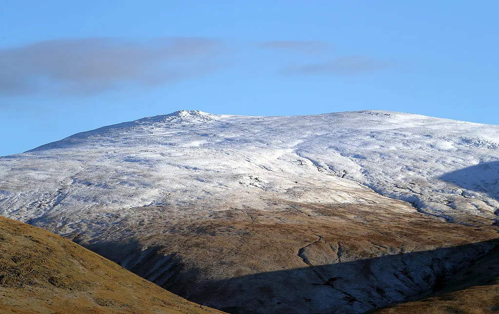
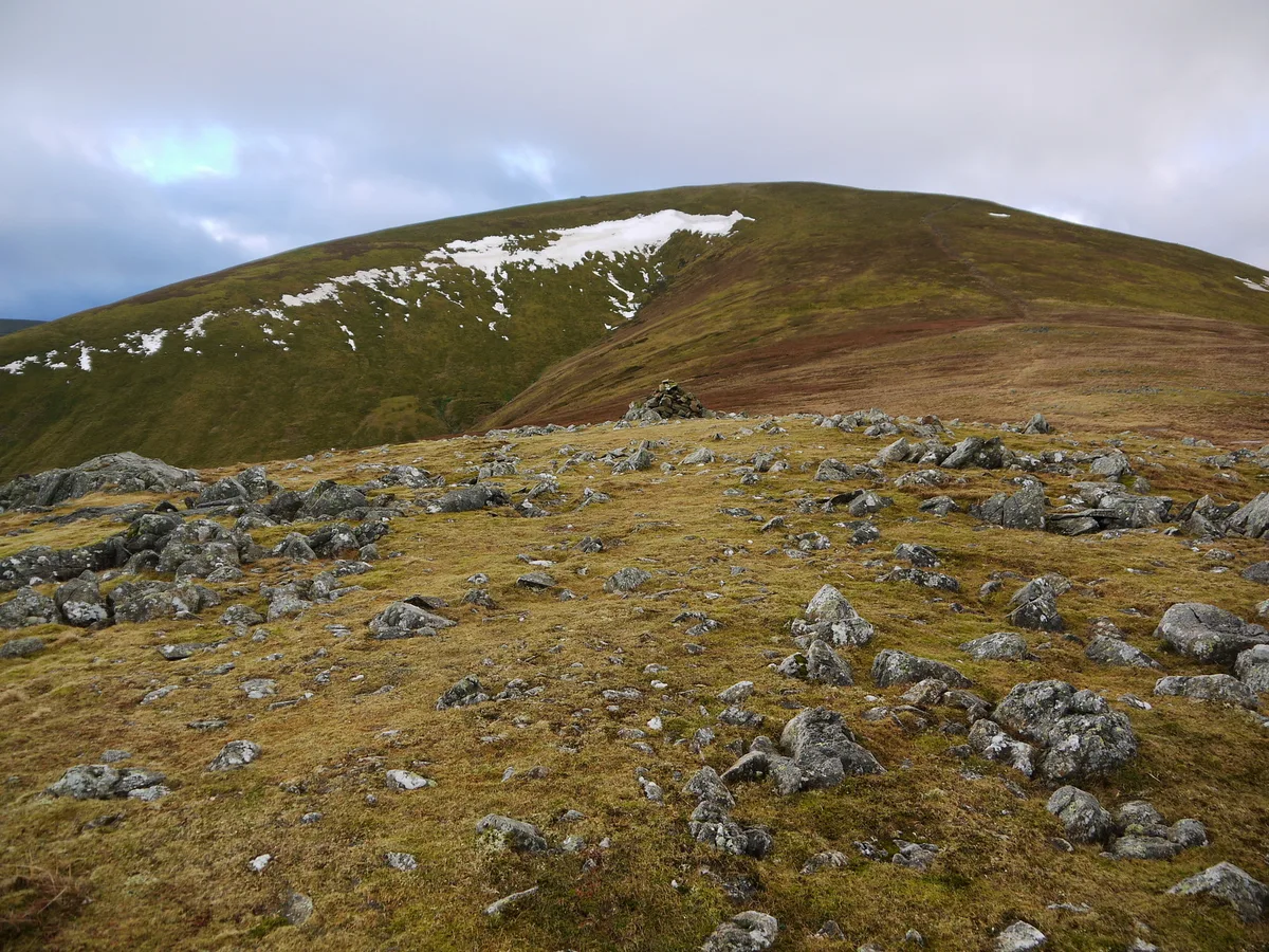
Stybarrow Dodd (the hill of the steep path) is a mountain or fell in the English Lake District. It stands immediately north of Sticks Pass on the main ridge of the Helvellyn range in the Eastern Fells, which is situated between the lakes of Thirlmere and the Ullswater. The summit of Stybarrow Dodd is a smooth, rounded, grassy dome, like those of its two northern neighbours, Watson's Dodd and Great Dodd. Together, these three rather similar fells are sometimes called ‘The Three Dodds’. All three are covered by the same sheet of volcanic rock.
Excerpt from Wikipedia under CC BY-SA 4.0. See the source article linked in Sources below.
- Coordinates
- 54.5611, -3.0175
- Address
- Cumbria, England
- Nearest railway station
- Threlkeld Quarry — 5.6 km
Sources
- wikidata: Q7629297 (CC0)
- wikipedia: Stybarrow Dodd (CC BY-SA 4.0)
- commons: Stybarrow Dodd summit ridge.JPG (CC BY-SA 4.0)
Other places nearby
Loading nearby places…
Nearby
 📷 4
📷 4Mountains & hills · North East England
Stybarrow Dodd
Stybarrow Dodd — Named summit at 843.7 m.
 📷 4
📷 4Natural landmarks · North East England
Watson's Dodd
Watson's Dodd — mountain in the Lake District, Cumbria, United Kingdom.
 📷 4
📷 4Mountains & hills · North East England
Watsons Dodd
Watsons Dodd — Named summit at 789 m.
 📷 3
📷 3Mountains & hills · North East England
Raise
Raise — Named summit at 882.7 m.
 📷 3
📷 3Natural landmarks · North East England
Great Dodd
Great Dodd — mountain in the Lake District, Cumbria, United Kingdom.
 📷 3
📷 3Historic houses · North East England
ruined chimney
ruined chimney — a historic house in england-north-east, United Kingdom.
More natural landmarks in this region
 Flagship📷 5
Natural landmarks · North East England
Brothers Water
Brothers Water — lake in Cumbria, England, UK.
 📷 5
📷 5Natural landmarks · North East England
Angle Tarn
Angle Tarn — lake near Patterdale, Cumbria, England, United Kingdom.
 📷 3
📷 3Natural landmarks · North East England
Angletarn Pikes
Angletarn Pikes — mountain in United Kingdom.
 📷 3
📷 3Natural landmarks · North East England
Ard Crags
Ard Crags — mountain in United Kingdom.
Frequently asked questions
- Where is Stybarrow Dodd?
- Stybarrow Dodd is in North-East England, United Kingdom.
- Is Stybarrow Dodd a protected site?
- Yes — Stybarrow Dodd is part of the River Derwent and Tributaries SSSI Site of Special Scientific Interest and the River Eden and Tributaries SSSI Site of Special Scientific Interest.
- Is Stybarrow Dodd free to visit?
- Yes, Stybarrow Dodd is free to enter.
- How do I get to Stybarrow Dodd?
- The nearest railway station is Threlkeld Quarry, about 5.6 km away.