Mountains & hills · North East England
Raise
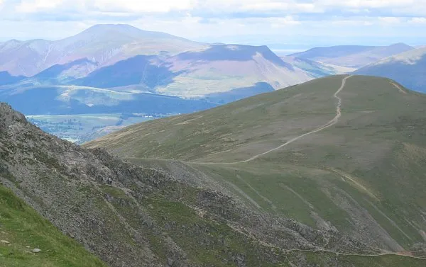
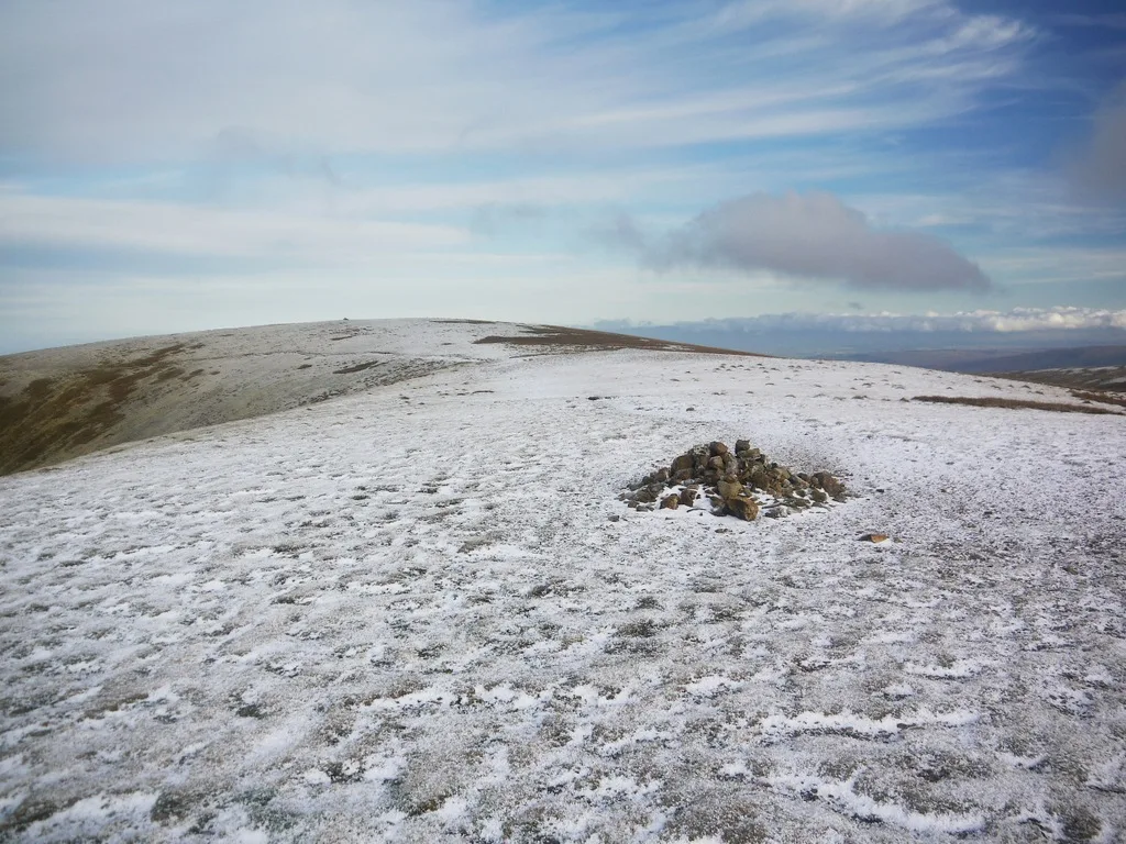
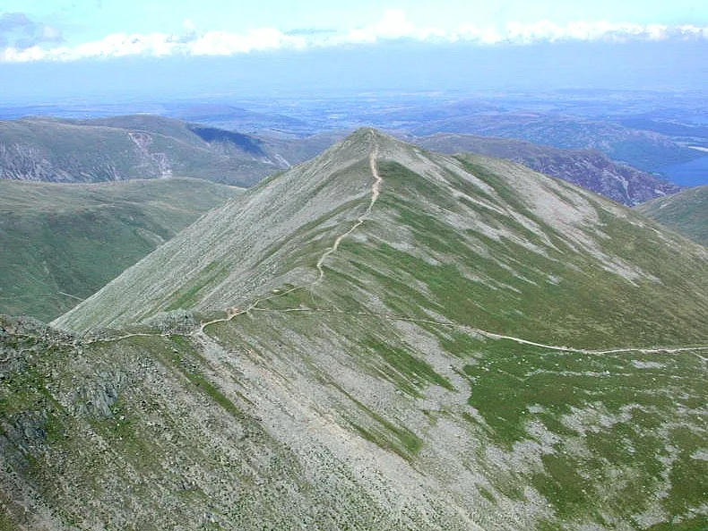
Raise — Named summit at 882.7 m.

Wikimedia Commons contributors — see linked file page for photographer and licence licence
.jpg)
Plan your visit
- Typical visit
- 3 h–8 h
- Best time of year
- Late spring – early autumn (May–Oct)
- Nearest railway station
- Threlkeld Quarry · 7.0 km
- Free entry
- Dog-friendly
About
Raise is a named summit in the United Kingdom. Wikidata describes it as: "Named summit at 882.7 m.". Coordinates: 54.5477°, -3.0175°.
Photo gallery
Protected designations
- Site of Special Scientific Interest: River Derwent and Tributaries SSSI
- Site of Special Scientific Interest: Helvellyn & Fairfield SSSI
- Site of Special Scientific Interest: River Eden and Tributaries SSSI
Designations sourced from Natural England open data under OGL v3.
From the Wikipedia article
Raise is a fell in the English Lake District. It stands on the main spine of the Helvellyn range in the Eastern Fells, between Thirlmere and Ullswater.
Excerpt from Wikipedia under CC BY-SA 4.0. See the source article linked in Sources below.
- Coordinates
- 54.5477, -3.0175
- Address
- Cumbria, England
- Nearest railway station
- Threlkeld Quarry — 7 km
Sources
- osm: n29730758 (ODbL)
- wikipedia: Raise (Lake District) (CC BY-SA 4.0)
- commons: Raise in the Lake District (geograph 5648109).jpg (CC BY-SA 4.0)
Other places nearby
Loading nearby places…
Nearby
 📷 3
📷 3Mountains & hills · North East England
White Side
White Side — Named summit at 863.2 m.
 📷 3
📷 3Historic houses · North East England
ruined chimney
ruined chimney — a historic house in england-north-east, United Kingdom.
 📷 3
📷 3Natural landmarks · North East England
White Side
White Side — mountain in United Kingdom.
 📷 4
📷 4Natural landmarks · North East England
Stybarrow Dodd
Stybarrow Dodd — mountain in United Kingdom.
 📷 4
📷 4Mountains & hills · North East England
Stybarrow Dodd
Stybarrow Dodd — Named summit at 843.7 m.
 📷 4
📷 4Mountains & hills · North East England
Catstycam
Catstycam — Named summit at 889.6 m.
More mountains in this region
 📷 3
📷 3Mountains & hills · North East England
Angletarn Pikes
Angletarn Pikes — Named summit at 566 m.
 📷 3
📷 3Mountains & hills · North East England
Angletarn Pikes South Top
Angletarn Pikes South Top — Named summit at 563.6 m.
 📷 3
📷 3Mountains & hills · North East England
Ard Crags
Ard Crags — Named summit at 581 m.
 📷 3
📷 3Mountains & hills · North East England
Arnison Crag
Arnison Crag — Named summit at 433 m.
Frequently asked questions
- Where is Raise?
- Raise is in North-East England, United Kingdom.
- Is Raise a protected site?
- Yes — Raise is part of the River Derwent and Tributaries SSSI Site of Special Scientific Interest and the Helvellyn & Fairfield SSSI Site of Special Scientific Interest.
- Is Raise free to visit?
- Yes, Raise is free to enter.
- How do I get to Raise?
- The nearest railway station is Threlkeld Quarry, about 7.0 km away.