Castles · South East England
Stowting
Stowting is a village and civil parish in the English county of Kent. It is 6 miles (9.7 km) east of Ashford, 7 miles (11 km) north-west of Folkestone and 10 miles (16 km) south of Canterbury.

Nick Smith — CC BY-SA 2.0 via Wikimedia Commons licence
Plan your visit
- Typical visit
- 1.5 h–3 h
- Family-friendly
- Limited wheelchair access
About
Stowting is a village and civil parish in the English county of Kent. It is 6 miles (9.7 km) east of Ashford, 7 miles (11 km) north-west of Folkestone and 10 miles (16 km) south of Canterbury.
Photo gallery
From the Wikipedia article
Stowting is a village and civil parish in the English county of Kent. It is 6 miles (9.7 km) east of Ashford, 7 miles (11 km) north-west of Folkestone and 10 miles (16 km) south of Canterbury.
Excerpt from Wikipedia under CC BY-SA 4.0. See the source article linked in Sources below.
Background
History
The place name Stowting is Anglo-Saxon, meaning a 'place characterized by a mound.' It was known in the time of the Domesday Book as Stotinges and Estotinges, and in later records it was called Stutinges and Stowling. The Manor of Stowting was given by Egelric Bigge, to Christ Church, in Canterbury in the year 1044. The parish church is 13th century with many later additions and alterations. It is dedicated to St Mary and is built from flint with stone dressings with a flint tower. To the west of the church are the remains of a castle mound which are considered to be a particularly fine example of a Norman Motte-and-bailey castle. In 1947, a Douglas C-47A crashed on the hillside above the…
Description
The scattered village stands at the southern foot of a chalk hill, part of the North Downs and is located beside a chalk spring. To the north of the village centre the hamlets of Stowting Common and Lymbridge Green are both part of the parish. The Roman Road of Stone Street runs 1 mi to the east of the village whilst the Pilgrim's Way and North Downs Way footpath runs through the village itself.
Sourced from Wikipedia under CC BY-SA 4.0.
- Coordinates
- 51.1330, 1.0330
- County
- Kent
- District
- Folkestone and Hythe
- Parish
- Stowting
- Postcode
- TN25 6BA
- Parliamentary constituency
- Ashford
Sources
- wikipedia: Stowting (CC BY-SA 4.0)
Other places nearby
Loading nearby places…
Nearby
 📷 5
📷 5Castles · South East England
Stowting castle mound
Stowting castle mound — a castle in england-south-east, United Kingdom.
📷 5Castles · South East England
Stowting castle
Stowting castle — a castle in england-south-east, United Kingdom.
 📷 5
📷 5Viewpoints · South East England
Farthing Common
Farthing Common is a viewpoint in the United Kingdom.
 Flagship📷 5
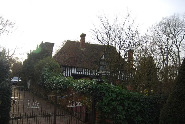
Stately homes · South East England
Kite Manor
Kite Manor — manor house in Monks Horton, Kent, England, UK.
 📷 5
📷 5Manor houses · South East England
Hayton Manor
Hayton Manor — Grade II listed building-listed manor in england-south-east, United Kingdom.
Campsites · South East England
The Sunny Field
The Sunny Field — a campsite in england south east.
More castles in this region
 Flagship📷 10
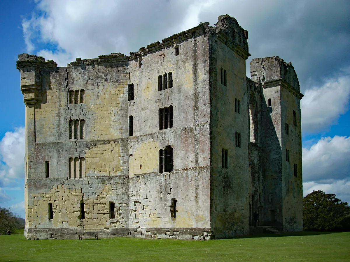
Castles · South East England
Old Wardour Castle
Old Wardour Castle — Grade I listed castle in Wardour, Wiltshire, England, UK.
 📷 5
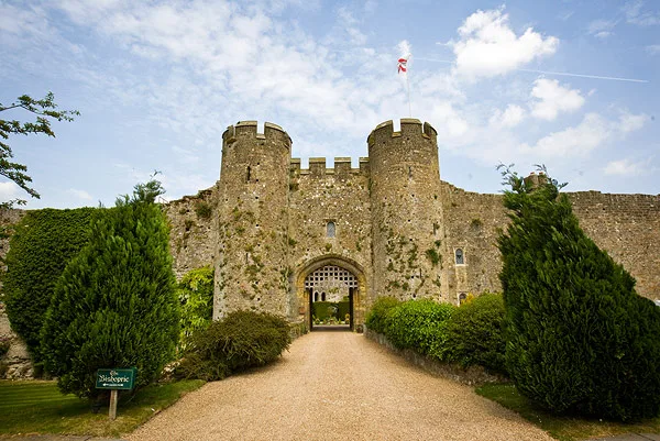
📷 5Castles · South East England
Amberley Castle
Amberley Castle — Grade I listed castle in Horsham District, United Kingdom.
 📷 5
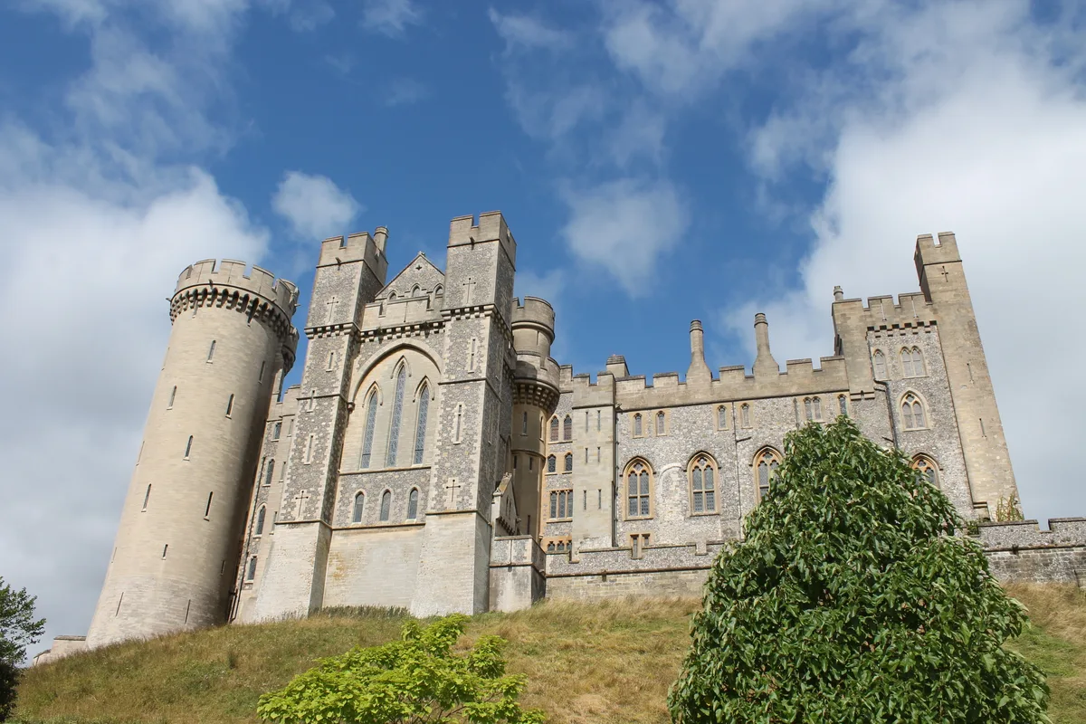
📷 5Castles · South East England
Arundel Castle
Arundel Castle — castle in West Sussex, England, UK.
 📷 5
📷 5Castles · South East England
Ballands Castle
Ballands Castle — former castle in Somerset, England, UK.
Frequently asked questions
- Where is Stowting?
- Stowting is in Kent, South-East England, United Kingdom (postcode TN25 6BA), in the parish of Stowting.
- Does Stowting charge admission?
- Stowting typically charges admission. Check the official site for current ticket prices and opening hours.
- How do I get to Stowting?
- Drivers can navigate to postcode TN25 6BA. It sits within the Ashford parliamentary constituency.