Towns & cities · South East England
Lyminge
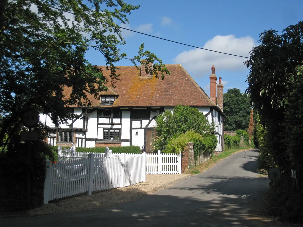
Lyminge — village and civil parish in Kent, England, UK.

Wikimedia Commons contributors — see linked file page for photographer and licence licence
Plan your visit
- Typical visit
- 3 h–6 h
- Nearest railway station
- Sandling · 4.3 km
- Free entry
- Family-friendly
- Dog-friendly
About
Lyminge is a town, city, village or settlement in the United Kingdom. Recent population estimates put it at around 2,688 people. Address: CT18. Wikidata describes it as: "village and civil parish in Kent, England, UK". Coordinates: 51.1270°, 1.0876°.
Photo gallery
Protected designations
- Area of Outstanding Natural Beauty: Kent Downs
Designations sourced from Natural England open data under OGL v3.
From the Wikipedia article
Lyminge is a village and civil parish in southeast Kent, England. It lies about five miles (8 km) from Folkestone and the Channel Tunnel, on the road passing through the Elham Valley. At the 2011 Census the population of Etchinghill was included. The Nailbourne begins in the village and flows north through the valley, to become one of the tributaries of the Great Stour. The hamlet of Ottinge lies to the NE on the road to Elham. Lyminge is home to the Grade II* listed Sibton Park, now owned by the Holiday Property Bond but previously a school. The village is surrounded by farmland and ancient forests. There is a wide variety of flora and fauna in the surrounding area, including badgers and various species of deer, along with wild boar, which are thought to have escaped from farms. Lyminge was a royal centre of the Kingdom of Kent of Anglo-Saxon England and a church was founded in 633.
Excerpt from Wikipedia under CC BY-SA 4.0. See the source article linked in Sources below.
- Coordinates
- 51.1270, 1.0876
- County
- Kent
- District
- Folkestone and Hythe
- Parish
- Lyminge
- Postcode
- CT18
- Parliamentary constituency
- Ashford
- Population
- 2,688
- Nearest railway station
- Sandling — 4.3 km
- Official site
- www.neighbourhood.statistics.gov.uk
Sources
- wikidata: Q1870143 (CC0)
- wikipedia: Lyminge (CC BY-SA 4.0)
- commons: Lyminge - geograph.org.uk - 368721.jpg (CC BY-SA 4.0)
Other places nearby
Loading nearby places…
Nearby
 📷 5
📷 5Historic churches · South East England
Church of St Mary and St Ethelburga, and Remains of the Older Church to South
Church of St Mary and St Ethelburga, and Remains of the Older Church to South — church in Lyminge, Kent, England, UK.
 📷 5
📷 5Memorials & monuments · South East England
Lyminge War Memorial
Lyminge War Memorial — Grade II listed building-listed memorial in england-south-east, United Kingdom.
 📷 5
📷 5Historic houses · South East England
Lindon Hall
Lindon Hall — house in Lyminge, Folkestone and Hythe, England, UK.
 Flagship📷 5
Stately homes · South East England
Boyke Manor
Boyke Manor — house in Ottinge, Elham, Kent, England, UK.
.jpg?width=1200) 📷 5
📷 5Historic churches · South East England
Church of St Mary and St Radegund
Church of St Mary and St Radegund — church in Postling, Kent, England, UK.
 📷 5
📷 5Viewpoints · South East England
Farthing Common
Farthing Common is a viewpoint in the United Kingdom.
More towns in this region
 Flagship📷 10
Towns & cities · South East England
Aldermaston
Aldermaston — village and civil parish in West Berkshire in England, UK.
 Flagship📷 10
Towns & cities · South East England
Aldingbourne
Aldingbourne — village and civil parish in Arun, West Sussex, UK.
 Flagship📷 10
Towns & cities · South East England
Aldington
Aldington — village and civil parish in the Ashford District of Kent, England.
 Flagship📷 10
Towns & cities · South East England
Aldworth
Aldworth — village and civil parish in the English county of Berkshire.
Frequently asked questions
- Where is Lyminge?
- Lyminge is in Kent, South-East England, United Kingdom (postcode CT18), in the parish of Lyminge.
- Is Lyminge a protected site?
- Yes — Lyminge is part of the Kent Downs National Landscape (AONB).
- Is Lyminge free to visit?
- Yes, Lyminge is free to enter.
- How do I get to Lyminge?
- The nearest railway station is Sandling, about 4.3 km away. Drivers can navigate to postcode CT18.