Archaeological sites · Northern Ireland
Souterrain Rath
Souterrain Rath — a archaeological in northern-ireland, United Kingdom.

Richard Webb — CC BY-SA 2.0 via Wikimedia Commons licence
Plan your visit
- Typical visit
- 45 min–1.5 h
- Free entry
- Dog-friendly
About
Souterrain Rath is a archaeological located in northern-ireland, United Kingdom. Sourced from OpenStreetMap (ODbL licence); see local listings for visitor information, opening hours and admission details.
Photo gallery
Place summary
Souterrain Rath is an archaeological site located in Northern Ireland. It features a subterranean passageway, typical of early medieval Irish structures, offering insights into historical settlement patterns.
AI-generated from the structured facts on this page (operator, designation, listing, era). Not a substitute for visiting.
- Coordinates
- 54.8222, -6.2491
- District
- Mid and East Antrim
- Postcode
- BT42 3DW
- Parliamentary constituency
- East Antrim
Sources
- osm: node/12043340979 (ODbL)
Other places nearby
Loading nearby places…
Nearby
 📷 3
📷 3Natural landmarks · Northern Ireland
Ballycowan
Ballycowan in Northern Ireland, United Kingdom.

Archaeological sites · Northern Ireland
Early Christian rath
Early Christian rath — a archaeological in northern-ireland, United Kingdom.
 📷 2
📷 2Natural landmarks · Northern Ireland
Cromkill
Cromkill in Northern Ireland, United Kingdom.
 📷 3
📷 3Abbeys & priories · Northern Ireland
Ancient Monastery of Kells
Ancient Monastery of Kells — a abbey in northern-ireland, United Kingdom.
📷 4Natural landmarks · Northern Ireland
Kells railway station
Kells railway station in Northern Ireland, United Kingdom.
 📷 4
📷 4Towns & cities · Northern Ireland
Kells
Kells — village in County Antrim, Ireland.
More archaeological sites in this region
 Flagship📷 5
Archaeological sites · Northern Ireland
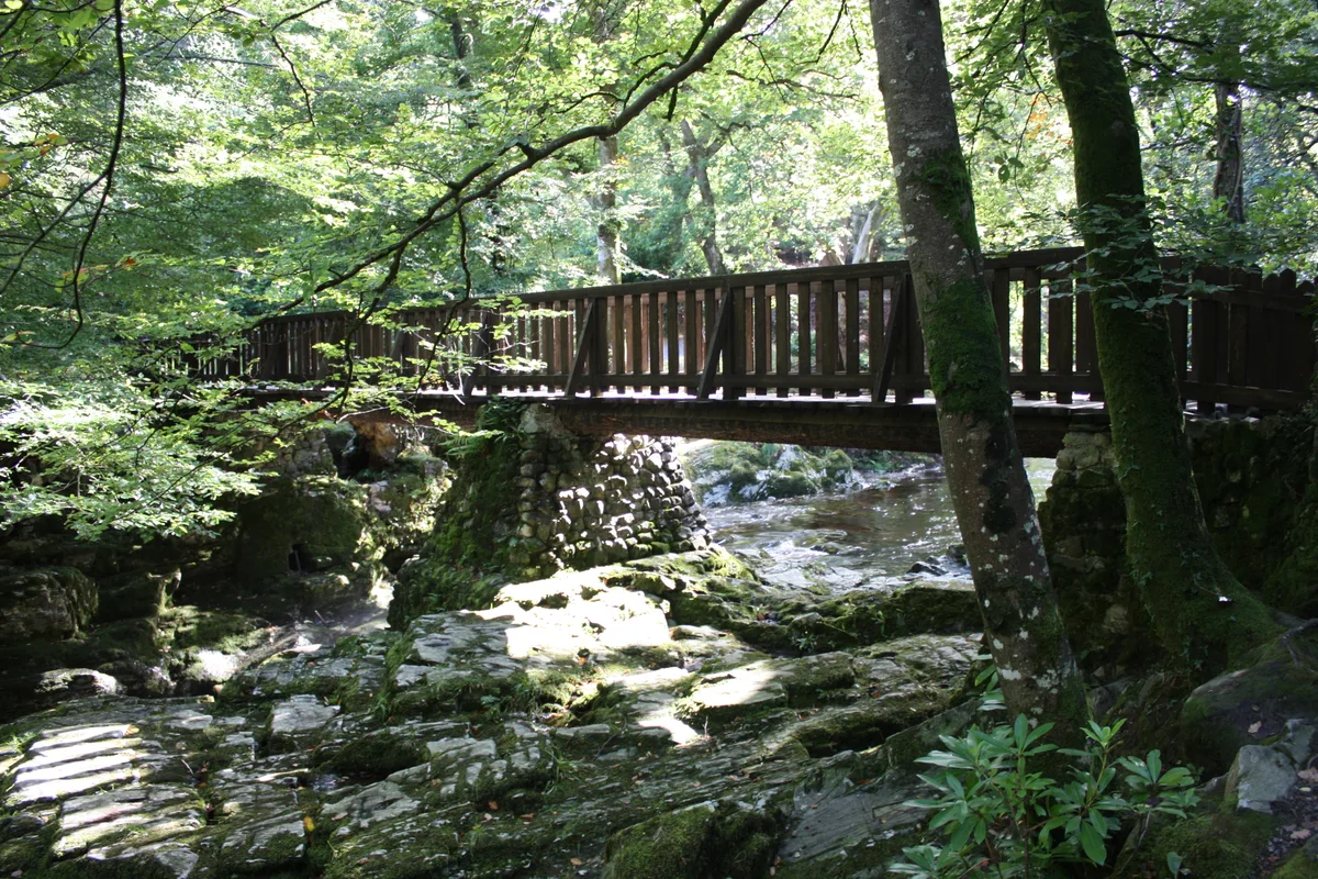
Tollymore Forest Park
Tollymore Forest Park — park in the United Kingdom.
 📷 3
📷 3Archaeological sites · Northern Ireland
Annalong Forest
Annalong Forest — Forest in County Down, Northern Ireland.
 📷 3
📷 3Archaeological sites · Northern Ireland
Ballysallagh Forest
Ballysallagh Forest — forest in Northern Ireland.
 📷 3
📷 3Archaeological sites · Northern Ireland
Castleward Forest
Castleward Forest — castleward Forest: Northern Ireland.
Frequently asked questions
- Where is Souterrain Rath?
- Souterrain Rath is in Northern Ireland, in the United Kingdom — coordinates 54.8222°, -6.2491°.
- Is Souterrain Rath free to visit?
- Yes — admission to Souterrain Rath is free.