Towns & cities · South Wales
Solva
Solva — village and community in Pembrokeshire, Wales.

Wikimedia Commons contributors — see linked file page for photographer and licence licence
Plan your visit
- Typical visit
- 3 h–6 h
- Free entry
- Family-friendly
- Dog-friendly
About
Solva is a town, city, village or settlement in the United Kingdom. It covers approximately 1,499 km². Recent population estimates put it at around 805 people. Heritage designation: National Monuments of Wales. Address: SA62. Wikidata describes it as: "village and community in Pembrokeshire, Wales". Coordinates: 51.8744°, -5.1889°.
Photo gallery
From the Wikipedia article
Solva (Welsh: Solfach) is a village, community and electoral ward in Pembrokeshire, Wales. The village comprises principally Lower Solva and Upper Solva. The community also includes Middle Mill and Whitchurch.
Excerpt from Wikipedia under CC BY-SA 4.0. See the source article linked in Sources below.
Background
History
]] The rocks at the entrance to Solva Harbour made it one of the most sheltered anchorages between Fishguard and Milford Haven; it was marked on a 1578 parish map of Pembrokeshire as Dolvath Haven. On a 1748 map it is named Solvach. Solva became the main trading centre of St Bride's Bay in the medieval period, and was important for lime burning. A prominent row of lime kilns is preserved at the harbour edge. By the end of the 18th century Solva had begun to expand, and could accommodate vessels of 500 tons, or up to 1,000 in an emergency. Some 30 vessels were registered to the port at this time, though this number reduced during the 19th century, The fading coastal trade was replaced by…
Sourced from Wikipedia under CC BY-SA 4.0.
- Coordinates
- 51.8744, -5.1889
- District
- Pembrokeshire
- Parish
- Solva
- Postcode
- SA62
- Parliamentary constituency
- Mid and South Pembrokeshire
- Population
- 805
- Official site
- solva.gov.wales
Sources
- wikidata: Q1022259 (CC0)
- wikipedia: Solva (CC BY-SA 4.0)
- commons: Solva Harbour 2.JPG (CC BY-SA 4.0)
Other places nearby
Loading nearby places…
Nearby
 📷 3
📷 3Galleries · South Wales
Oriel Fach
Oriel Fach — a gallery in wales-south, United Kingdom.
 📷 5
📷 5Historic bridges · South Wales
Solva Bridge
Solva Bridge — Grade II listed building-listed bridge in wales-south, United Kingdom.
 📷 5
📷 5Memorials & monuments · South Wales
War Memorial,High Street,Solfach Uchaf/Upper Solva
War Memorial,High Street,Solfach Uchaf/Upper Solva — Grade II listed building-listed memorial in wales-south, United Kingdom.
Vineyards · South Wales
Gribin Promontory Fort, Solva
Gribin Promontory Fort, Solva — a UK vineyard in wales south, producing English or Welsh wine from cool-climate grape varieties.
 📷 3
📷 3Archaeological sites · South Wales
Solva Gribbin Fort
Solva Gribbin Fort — a archaeological in wales-south, United Kingdom.
 📷 5
📷 5Historic churches · South Wales
Church of St Aidan
Church of St Aidan — Grade II listed building-listed church in wales-south, United Kingdom.
More towns in this region
 📷 4
📷 4Towns & cities · South Wales
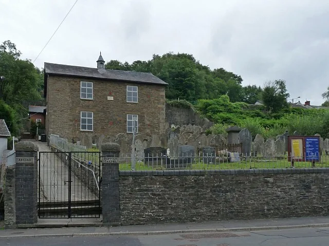
Argoed
Argoed — village and community in Caerphilly County Borough, Wales.
 Flagship📷 3
Towns & cities · South Wales
Betws
Betws — village and community in Carmarthenshire, Wales.
 Flagship📷 5
Towns & cities · South Wales
Caerleon
Caerleon — village and community in Newport, Wales, UK.
 Flagship📷 3
Towns & cities · South Wales
Camrose
Camrose — village and community in Pembrokeshire, Wales, UK.
Frequently asked questions
- Where is Solva?
- Solva is in South Wales, United Kingdom (postcode SA62), in the parish of Solva.
- Is Solva a listed building?
- Solva is officially recognised as National Monuments of Wales listed.
- Is Solva free to visit?
- Yes, Solva is free to enter.
- How do I get to Solva?
- Drivers can navigate to postcode SA62. It sits within the Mid and South Pembrokeshire parliamentary constituency.