Towns & cities · Yorkshire & the Humber
Sockburn
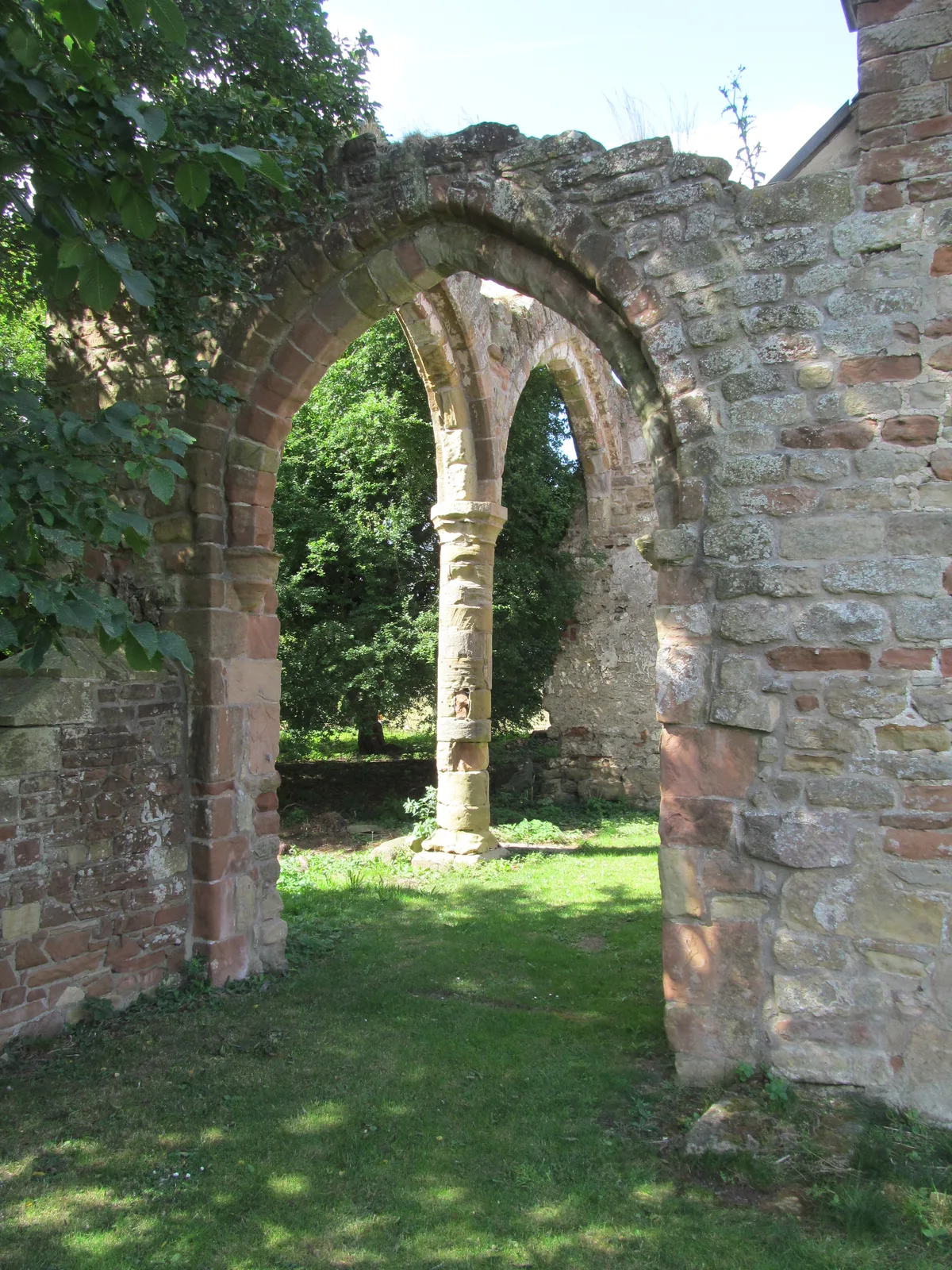
Sockburn — village in County Durham, United Kingdom.

Wikimedia Commons contributors — see linked file page for photographer and licence licence
Plan your visit
- Typical visit
- 3 h–6 h
- Nearest railway station
- Dinsdale · 5.9 km
- Free entry
- Family-friendly
- Dog-friendly
About
Sockburn is a town, city, village or settlement in the United Kingdom. Wikidata describes it as: "village in County Durham, United Kingdom". Coordinates: 54.4617°, -1.4640°.
Photo gallery
From the Wikipedia article
Sockburn is a village and former civil parish, now in the parish of Neasham, in the Darlington district, in the ceremonial county of Durham, England. It is situated at the apex of a meander of the River Tees, to the south of Darlington, known locally as the Sockburn Peninsula. Today, all that remains of the village is an early nineteenth-century mansion, a ruined church and a farmhouse built in the late eighteenth century. Sockburn is known for its links with Lindisfarne and Celtic Christianity, the discovery of Viking Age hogbacks, the Sockburn Worm folklore, and Sockburn Hall, a 19th-century country house and a Grade II listed building. The name means "Socca's fortification".
Excerpt from Wikipedia under CC BY-SA 4.0. See the source article linked in Sources below.
- Coordinates
- 54.4617, -1.4640
- District
- North Yorkshire
- Parish
- Girsby
- Postcode
- DL2 1PR
- Parliamentary constituency
- Richmond and Northallerton
- Nearest railway station
- Dinsdale — 5.9 km
Sources
- wikidata: Q1847391 (CC0)
- wikipedia: Sockburn (CC BY-SA 4.0)
- commons: Sockburn Hall geograph-2364079-by-Mick-Garratt.jpg (CC BY-SA 4.0)
Other places nearby
Loading nearby places…
Nearby
 📷 3
📷 3Cathedrals · North East England
Neasham Priory
Neasham Priory in England North East, United Kingdom.
 📷 4
📷 4Historic churches · North East England
Sockburn Hall
Sockburn Hall in England North East, United Kingdom.
📷 4Historic churches · North East England
All Saints Church, Sockburn
All Saints Church, Sockburn in England North East, United Kingdom.
 📷 3
📷 3Archaeological sites · Yorkshire & the Humber
Pre-Conquest and post-Conquest church and graveyard and medieval and post-medieval manors at Sockburn
Pre-Conquest and post-Conquest church and graveyard and medieval and post-medieval manors at Sockburn — archaeological site in Neasham, Darlington, England, UK.
 📷 4
📷 4Other places · North East England
Girsby
Girsby in England North East, United Kingdom.
 📷 4
📷 4Historic pubs · North East England
Hornby
Hornby in England North East, United Kingdom.
More towns in this region
 Flagship📷 4
Towns & cities · Yorkshire & the Humber
Bradford
Bradford — city and largest settlement in the City of Bradford district, Yorkshire, England.
 Flagship📷 5
Towns & cities · Yorkshire & the Humber
Coxwold
Coxwold — village and civil parish in North Yorkshire, England.
 Flagship📷 5
Towns & cities · Yorkshire & the Humber
Great Ayton
Great Ayton — village in North Yorkshire, England, UK.
May2005.jpg?width=1200) Flagship📷 5
Flagship📷 5Towns & cities · Yorkshire & the Humber
Great Langton
Great Langton — village in North Yorkshire, England, UK.
Frequently asked questions
- Where is Sockburn?
- Sockburn is in Yorkshire, United Kingdom (postcode DL2 1PR), in the parish of Girsby.
- Is Sockburn free to visit?
- Yes, Sockburn is free to enter.
- How do I get to Sockburn?
- The nearest railway station is Dinsdale, about 5.9 km away. Drivers can navigate to postcode DL2 1PR.