Archaeological sites · Northern Ireland
Slieveanorra Forest
Slieveanorra Forest — forest in County Antrim, Northern Ireland.

Wikimedia Commons contributors — see linked file page for photographer and licence licence
Plan your visit
- Typical visit
- 45 min–1.5 h
- Free entry
- Dog-friendly
About
Slieveanorra Forest is an archaeological site in the United Kingdom. Wikidata describes it as: "forest in County Antrim, Northern Ireland". Coordinates: 55.0425°, -6.2117°.
Photo gallery
From the Wikipedia article
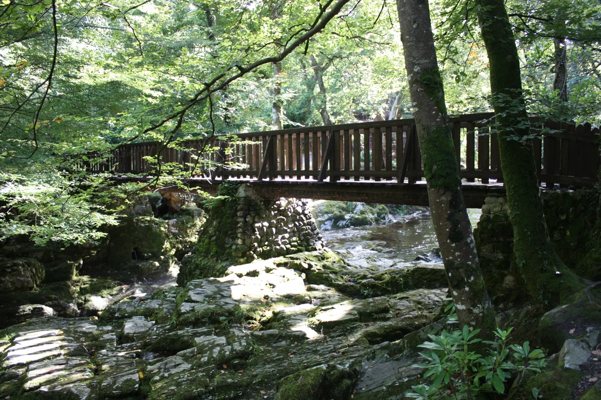
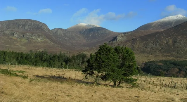
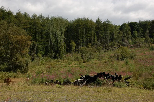
Slieveanorra Forest is situated in the rural north of County Antrim, Northern Ireland, near the villages of Corkey and Newtown Crommelin. The forest is a vast conifer forest, and the summit of Orra Mountain offers panoramic views. The forest is a working forest, and there are many types of plant and wildlife in the area. The forest has a memorial at the site of a 1942 airplane crash that killed ten people.
Excerpt from Wikipedia under CC BY-SA 4.0. See the source article linked in Sources below.
Background
Visiting
The forest is accessed from the Glenaan Road, off the A2 coastal route from Cushendall town. There is very limited parking at the entranceways, provided by two laybys.
Sourced from Wikipedia under CC BY-SA 4.0.
- Coordinates
- 55.0425, -6.2117
Sources
- wikidata: Q2738023 (CC0)
- wikipedia: Slieveanorra Forest (CC BY-SA 4.0)
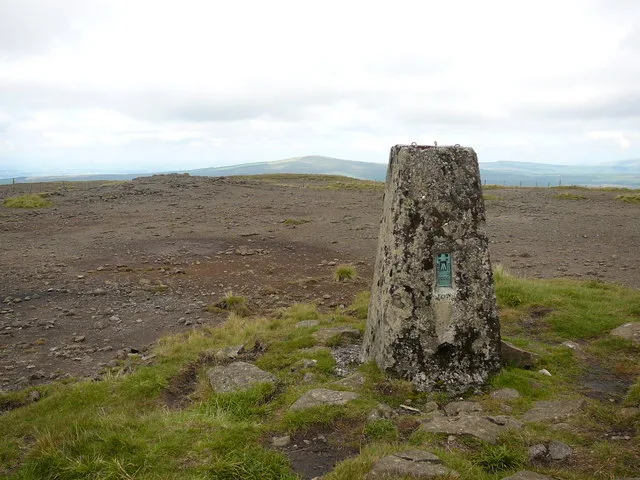
- commons: Slieveanorra Forest sign.jpg (CC BY-SA 4.0)
Other places nearby
Loading nearby places…
Nearby
 📷 2
📷 2Natural landmarks · Northern Ireland
Altnahinch
Altnahinch in Northern Ireland, United Kingdom.
 📷 4
📷 4Natural landmarks · Northern Ireland
Altnahinch Dam
Altnahinch Dam in Northern Ireland, United Kingdom.
 📷 4
📷 4Natural landmarks · Northern Ireland
Trostan
Trostan — mountain in United Kingdom.

Natural landmarks · Northern Ireland
Slieve-na-Aura
Slieve-na-Aura — mountain in County Antrim, Northern Ireland.
 📷 4
📷 4Mountains & hills · Northern Ireland
Trostan
Trostan — Named summit at 550 m.
 📷 3
📷 3Mountains & hills · Northern Ireland
Slievenanee
Slievenanee — a mountain in northern-ireland, United Kingdom.
More archaeological sites in this region
 Flagship📷 5
Archaeological sites · Northern Ireland
Tollymore Forest Park
Tollymore Forest Park — park in the United Kingdom.
 📷 3
📷 3Archaeological sites · Northern Ireland
Annalong Forest
Annalong Forest — Forest in County Down, Northern Ireland.
 📷 3
📷 3Archaeological sites · Northern Ireland
Ballysallagh Forest
Ballysallagh Forest — forest in Northern Ireland.
 📷 3
📷 3Archaeological sites · Northern Ireland
Castleward Forest
Castleward Forest — castleward Forest: Northern Ireland.
Frequently asked questions
- Where is Slieveanorra Forest?
- Slieveanorra Forest is in Northern Ireland, in the United Kingdom — coordinates 55.0425°, -6.2117°.
- Is Slieveanorra Forest free to visit?
- Yes — admission to Slieveanorra Forest is free.