Natural landmarks · Scottish Highlands
Sgùrr nan Ceannaichean
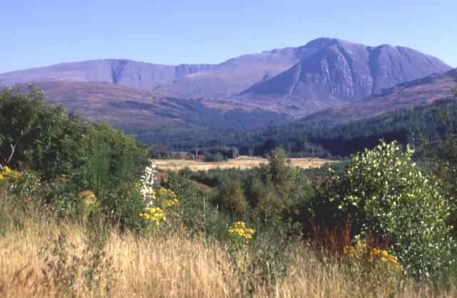
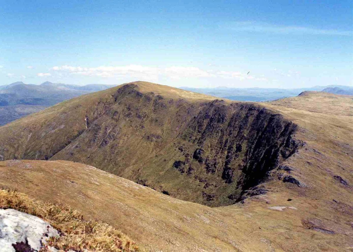
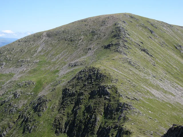
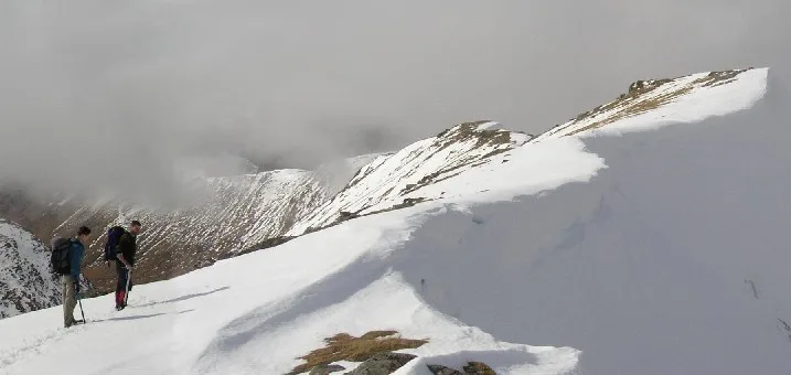
Sgùrr nan Ceannaichean — mountain in Highland, Scotland, UK.

Wikimedia Commons contributors — see linked file page for photographer and licence licence
Plan your visit
- Typical visit
- 1 h–2 h
- Nearest railway station
- Achnashellach · 8.4 km
- Free entry
- Dog-friendly
About
Sgùrr nan Ceannaichean is a named natural landmark in the United Kingdom. Part of Northwest Highlands. Wikidata describes it as: "mountain in Highland, Scotland, UK". Coordinates: 57.4818°, -5.1927°.
Photo gallery
From the Wikipedia article
Sgùrr nan Ceannaichean is a Scottish mountain situated 13 kilometres southwest of the village of Achnasheen on the southern side of Glen Carron within the Glencarron and Glenuig Forest in the Ross and Cromarty district of the Highland council area.
Excerpt from Wikipedia under CC BY-SA 4.0. See the source article linked in Sources below.
Background
Description
The mountain's name translates from the Gaelic as Peak of the Merchants or Pedlars. The name may be associated with a main routeway between east and west Scotland passing just to the north, Sgùrr nan Ceannaichean being a significant landmark for traders and travellers. Initially classed as a Corbett, Sgùrr nan Ceannaichean was reclassified as a Munro in 1981 after a height of 915 m, obtained by aerial photogrammetry for the metric revision, appeared on the Ordnance Survey map. In 2009, a survey by The Munro Society obtained an accurate height of 913.43 metres, reverting the mountain's status to Corbett.
Sourced from Wikipedia under CC BY-SA 4.0.
- Coordinates
- 57.4818, -5.1927
- Address
- Wester Ross, Scotland
- Nearest railway station
- Achnashellach — 8.4 km
Sources
- wikidata: Q7459818 (CC0)
- wikipedia: Sgùrr nan Ceannaichean (CC BY-SA 4.0)
- commons: Sgùrr nan Ceannaichean - geograph.org.uk - 8190.jpg (CC BY-SA 4.0)
Other places nearby
Loading nearby places…
Nearby
 📷 3
📷 3Mountains & hills · Scottish Highlands
Sgùrr nan Ceannaichean
Sgùrr nan Ceannaichean — Named summit at 913 m.
 📷 3
📷 3Mountains & hills · Scottish Highlands
Mòruisg
Mòruisg — Named summit at 928 m.
 📷 2
📷 2Historic houses · Scottish Highlands
Coire-beithe
Coire-beithe — a historic house in scotland-highlands, United Kingdom.
 📷 3
📷 3Mountains & hills · Scottish Highlands
Sgurr a' Chaorachain
Sgurr a' Chaorachain — Named summit at 1053 m.
 📷 3
📷 3Mountains & hills · Scottish Highlands
Sgùrr Choinnich
Sgùrr Choinnich — Named summit at 999 m.
 📷 3
📷 3Natural landmarks · Scottish Highlands
Sgùrr Choinnich
Sgùrr Choinnich — 999m high mountain in Highland, Scotland, UK.
More natural landmarks in this region
 Flagship📷 3
Natural landmarks · Scottish Highlands
Dunalastair Water
Dunalastair Water — lake in Perth and Kinross, Scotland, UK, on the River Tummel.
 Flagship📷 3
Natural landmarks · Scottish Highlands
Loch Arkaig
Loch Arkaig — lake in Highland, Scotland, UK, outflows east to River Arkaig.
 Flagship📷 3
Natural landmarks · Scottish Highlands
Loch Assynt
Loch Assynt — lake in Highland, Scotland, UK, outflows to the River Inver and Loch na Garbh Uidhe.
 Flagship📷 3
Natural landmarks · Scottish Highlands
Loch Awe
Loch Awe — lake in Argyll and Bute, Scotland, UK, outflows to the River Awe.
Frequently asked questions
- Where is Sgùrr nan Ceannaichean?
- Sgùrr nan Ceannaichean is in Scottish Highlands, in the United Kingdom — coordinates 57.4818°, -5.1927°. The nearest railway station is Achnashellach, around 8.4 km away.
- Is Sgùrr nan Ceannaichean free to visit?
- Yes — admission to Sgùrr nan Ceannaichean is free.