Forests & woodlands · West Midlands
Saltwells National Nature Reserve Black Country Geosite
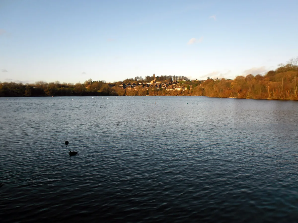
Saltwells National Nature Reserve Black Country Geosite is a forest or woodland in the United Kingdom.

Wikimedia Commons contributors — see linked file page for photographer and licence licence
Plan your visit
- Typical visit
- 1 h–3 h
- Nearest railway station
- Cradley Heath · 1.7 km
- Free entry
- Family-friendly
- Dog-friendly
About
Saltwells National Nature Reserve Black Country Geosite is a named forest, woodland or nature reserve in the United Kingdom. Records date its origin to 1981. Coordinates: 52.4839°, -2.0971°.
Photo gallery
Protected designations
- National Nature Reserve: SALTWELLS
Designations sourced from Natural England open data under OGL v3.
From the Wikipedia article
Saltwells Local Nature Reserve is situated in the Netherton area of Dudley Metropolitan Borough in West Midlands, England. The reserve, created in 1981, covers 247 acres and includes Saltwells Wood and part of Netherton Hill within its boundaries. The reserve encloses two Sites of Special Scientific Interest and one scheduled ancient monument.
Excerpt from Wikipedia under CC BY-SA 4.0. See the source article linked in Sources below.
Background
History
Saltwells Local Nature Reserve was created in 1981 and was the first such reserve created in the county of West Midlands. Although now mainly woodland and grass-covered areas, the reserve was once the scene of extensive industrial activity, particularly the extraction of coal, which took place from medieval times until the second half of the 20th century. For example, Saltwells Wood, in the centre of the reserve, contains the remains of medieval coal-mining activity, and part of it was designated as a scheduled ancient monument in 2002. Much more recently, the side of Netherton Hill in the reserve, now covered in gorse and grassland, was the site of opencast coal mining in the 1960s.…
Description
Located within the boundaries of Saltwells Local Nature Reserve, Saltwells Inn is a historic public house dating back to the 18th century. Originally serving as a resting place for those visiting the area's natural saline springs, the Inn has since become a popular spot for visitors exploring the nature reserve. Today, it offers traditional British pub fare, local ales, and serves as a hub for community events. The Inn’s proximity to the Saltwells Nature Reserve makes it an ideal stop for nature enthusiasts and walkers.
Sourced from Wikipedia under CC BY-SA 4.0.
- Coordinates
- 52.4839, -2.0971
- District
- Dudley
- Parish
- Dudley, unparished area
- Postcode
- DY2 0HD
- Parliamentary constituency
- Stourbridge
- Established
- 1981
- Nearest railway station
- Cradley Heath — 1.7 km
Sources
- osm: r17044391 (ODbL)
- wikipedia: Saltwells Local Nature Reserve (CC BY-SA 4.0)
- commons: Saltwells Nature Reserve - geograph.org.uk - 1305839.jpg (CC BY-SA 4.0)
Other places nearby
Loading nearby places…
Nearby
📷 3Parks · West Midlands
Saltwells Local Nature Reserve
Saltwells Local Nature Reserve — park in United Kingdom.
 Flagship📷 3
Reservoirs & lochs · West Midlands
Netherton Reservoir
Netherton Reservoir — reservoir in West Midlands, England, UK.
 📷 3
📷 3Forests & woodlands · West Midlands
Doulton's Claypit SSSI
Doulton's Claypit SSSI is a forest or woodland in the United Kingdom.
 📷 3
📷 3Historic bridges · West Midlands
Towpath Bridge, Approximately 300 Metres North West Of Highbridge Road
Towpath Bridge, Approximately 300 Metres North West Of Highbridge Road — Grade II listed building-listed bridge in england-west-midlands, United Kingdom.
 📷 3
📷 3Historic bridges · West Midlands
Dudley Number 1 Canal Towpath Bridge, Approximately 50 Metres East Of Woodside Bridge
Dudley Number 1 Canal Towpath Bridge, Approximately 50 Metres East Of Woodside Bridge — Grade II listed building-listed bridge in england-west-midlands, United Kingdom.
 📷 3
📷 3Public art & sculpture · West Midlands
Tudor Rose Brickwork
Tudor Rose Brickwork — a public art in england-west-midlands, United Kingdom.
Other forests from this era
 📷 5
📷 5Forests & woodlands · London
Angel's Wings
Angel's Wings — Public artwork by Thomas Heatherwick.
 📷 5
📷 5Forests & woodlands · London
Bedford Purlieus National Nature Reserve
Bedford Purlieus National Nature Reserve is a forest or woodland in the United Kingdom.
 📷 5
📷 5Forests & woodlands · London
RSPB Fowlmere Nature Reserve
RSPB Fowlmere Nature Reserve is a forest or woodland in the United Kingdom.
 📷 5
📷 5Forests & woodlands · London
RSPB The Lodge nature reserve
RSPB The Lodge nature reserve is a forest or woodland in the United Kingdom.
More forests in this region
 📷 3
📷 3Forests & woodlands · West Midlands
Abington Meadows Nature Reserve
Abington Meadows Nature Reserve is a forest or woodland in the United Kingdom.
_(geograph_2935627).jpg?width=1200) 📷 3
📷 3Forests & woodlands · West Midlands
Adderbury Lakes
Adderbury Lakes is a forest or woodland in the United Kingdom.
 📷 3
📷 3Forests & woodlands · West Midlands
Alcott Wood
Alcott Wood is a forest or woodland in the United Kingdom.
 📷 3
📷 3Forests & woodlands · West Midlands
Alvecote Meadows Nature Reserve
Alvecote Meadows Nature Reserve is a forest or woodland in the United Kingdom.
Frequently asked questions
- Where is Saltwells National Nature Reserve Black Country Geosite?
- Saltwells National Nature Reserve Black Country Geosite is in the West Midlands, United Kingdom (postcode DY2 0HD), in the parish of Dudley, unparished area.
- When was Saltwells National Nature Reserve Black Country Geosite built?
- Built or established in 1981.
- Who owns Saltwells National Nature Reserve Black Country Geosite?
- Saltwells National Nature Reserve Black Country Geosite is owned by Dudley Metropolitan Borough Council.
- Is Saltwells National Nature Reserve Black Country Geosite a protected site?
- Yes — Saltwells National Nature Reserve Black Country Geosite is part of the SALTWELLS National Nature Reserve.
- Is Saltwells National Nature Reserve Black Country Geosite free to visit?
- Yes, Saltwells National Nature Reserve Black Country Geosite is free to enter.
- How do I get to Saltwells National Nature Reserve Black Country Geosite?
- The nearest railway station is Cradley Heath, about 1.7 km away. Drivers can navigate to postcode DY2 0HD.