Forests & woodlands · West Midlands
Doulton's Claypit SSSI
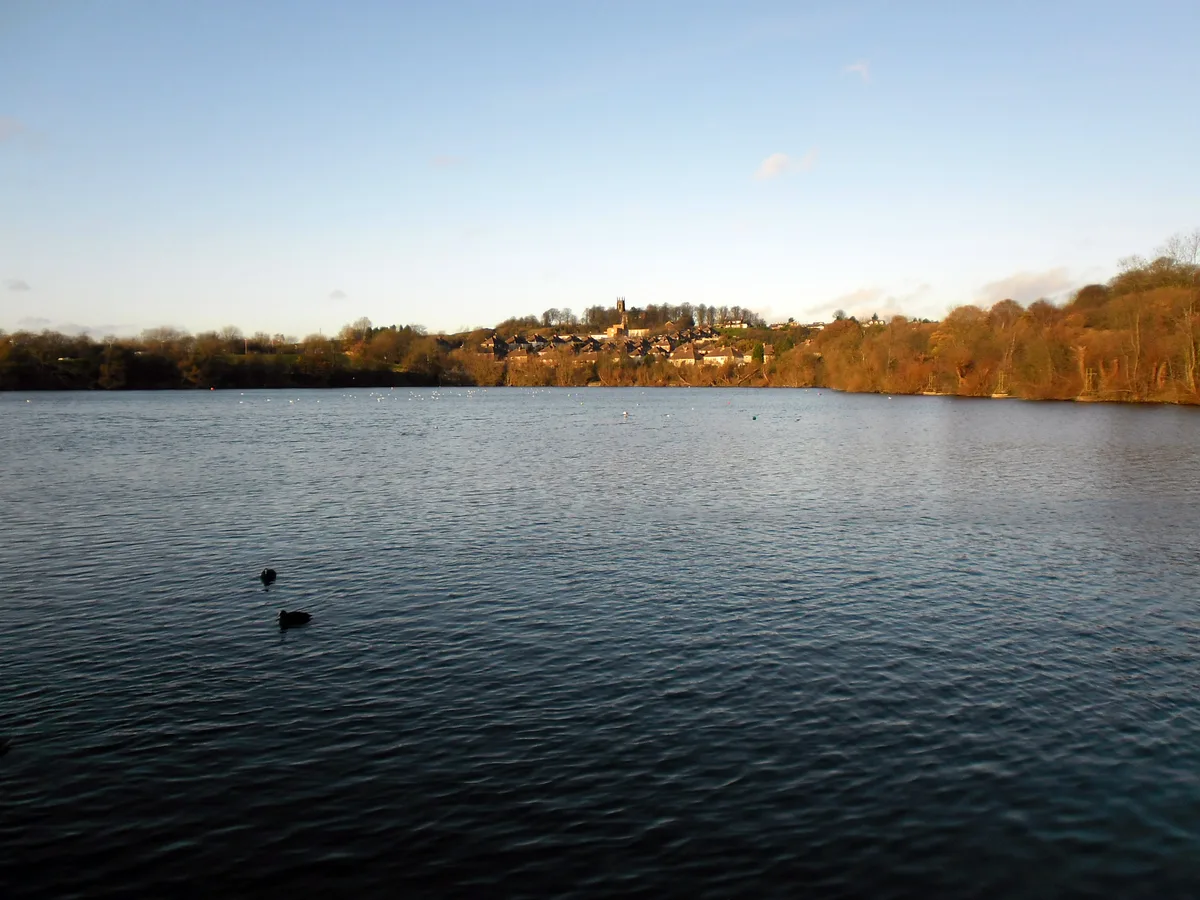
Doulton's Claypit SSSI is a forest or woodland in the United Kingdom.

Wikimedia Commons contributors — see linked file page for photographer and licence licence
Plan your visit
- Typical visit
- 1 h–3 h
- Nearest railway station
- Cradley Heath · 1.4 km
- Free entry
- Family-friendly
- Dog-friendly
About
Doulton's Claypit SSSI is a named forest, woodland or nature reserve in the United Kingdom. Coordinates: 52.4817°, -2.0958°. This entry is part of The Great Britain Guide, a free, ad-free, open-data tourist directory.
Photo gallery
Protected designations
- Site of Special Scientific Interest: Doulton's Claypit SSSI
- National Nature Reserve: SALTWELLS
Designations sourced from Natural England open data under OGL v3.
From the Wikipedia article
Doulton's Claypit (grid reference SO936870) is a 3.3 hectares (8.2 acres) geological site of Special Scientific Interest in the West Midlands. The site was notified in 1986 under the Wildlife and Countryside Act 1981 and is currently managed by the Country Trust. The site is noteworthy for its exposure of strata of the Middle Coal Measures, laid down during the Westphalian stage of the Carboniferous period.
Excerpt from Wikipedia under CC BY-SA 4.0. See the source article linked in Sources below.
- Coordinates
- 52.4817, -2.0958
- District
- Dudley
- Parish
- Dudley, unparished area
- Postcode
- DY2 0AN
- Parliamentary constituency
- Halesowen
- Nearest railway station
- Cradley Heath — 1.4 km
Sources
- osm: w64749229 (ODbL)
- wikipedia: Doulton's Claypit (CC BY-SA 4.0)
- commons: Doultons Clay Pit - geograph.org.uk - 1093340.jpg (CC BY-SA 4.0)
Other places nearby
Loading nearby places…
Nearby
 📷 3
📷 3Parks · West Midlands
Saltwells Local Nature Reserve
Saltwells Local Nature Reserve — park in United Kingdom.
📷 3Forests & woodlands · West Midlands
Saltwells National Nature Reserve Black Country Geosite
Saltwells National Nature Reserve Black Country Geosite is a forest or woodland in the United Kingdom.
 Flagship📷 3
Reservoirs & lochs · West Midlands
Netherton Reservoir
Netherton Reservoir — reservoir in West Midlands, England, UK.
 📷 3
📷 3Museums · West Midlands
Mushroom Green Chain Shop
Mushroom Green Chain Shop — a museum in england-west-midlands, United Kingdom.
 📷 3
📷 3Historic bridges · West Midlands
Towpath Bridge, Approximately 300 Metres North West Of Highbridge Road
Towpath Bridge, Approximately 300 Metres North West Of Highbridge Road — Grade II listed building-listed bridge in england-west-midlands, United Kingdom.
 📷 3
📷 3Theatres · West Midlands
Odeon Dudley (Merry Hill)
Odeon Dudley (Merry Hill) in England West Midlands, United Kingdom.
More forests in this region
 📷 3
📷 3Forests & woodlands · West Midlands
Abington Meadows Nature Reserve
Abington Meadows Nature Reserve is a forest or woodland in the United Kingdom.
_(geograph_2935627).jpg?width=1200) 📷 3
📷 3Forests & woodlands · West Midlands
Adderbury Lakes
Adderbury Lakes is a forest or woodland in the United Kingdom.
 📷 3
📷 3Forests & woodlands · West Midlands
Alcott Wood
Alcott Wood is a forest or woodland in the United Kingdom.
 📷 3
📷 3Forests & woodlands · West Midlands
Alvecote Meadows Nature Reserve
Alvecote Meadows Nature Reserve is a forest or woodland in the United Kingdom.
Frequently asked questions
- Where is Doulton's Claypit SSSI?
- Doulton's Claypit SSSI is in the West Midlands, United Kingdom (postcode DY2 0AN), in the parish of Dudley, unparished area.
- Is Doulton's Claypit SSSI a protected site?
- Yes — Doulton's Claypit SSSI is part of the Doulton's Claypit SSSI Site of Special Scientific Interest and the SALTWELLS National Nature Reserve.
- Is Doulton's Claypit SSSI free to visit?
- Yes, Doulton's Claypit SSSI is free to enter.
- How do I get to Doulton's Claypit SSSI?
- The nearest railway station is Cradley Heath, about 1.4 km away. Drivers can navigate to postcode DY2 0AN.