Archaeological sites · Northern Ireland
Rostrevor Forest
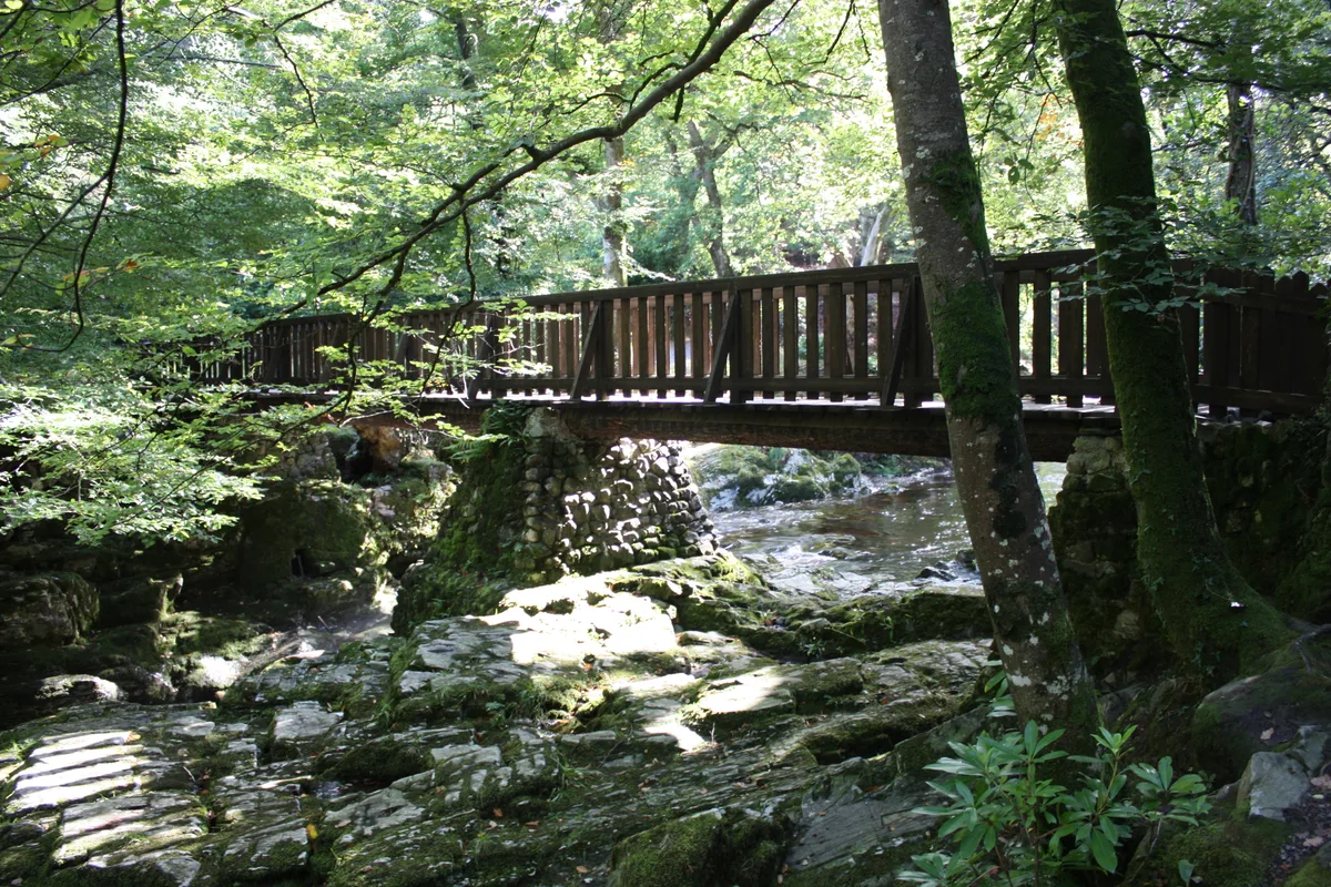
Rostrevor Forest is a archaeological site in the United Kingdom.

Wikimedia Commons contributors — see linked file page for photographer and licence licence
_-_geograph.org.uk_-_205052.jpg)
Plan your visit
- Typical visit
- 45 min–1.5 h
- Free entry
- Dog-friendly
About
Rostrevor Forest is an archaeological site in the United Kingdom. Coordinates: 54.0950°, -6.1880°. This entry is part of The Great Britain Guide, a free, ad-free, open-data tourist directory.
Photo gallery
From the Wikipedia article
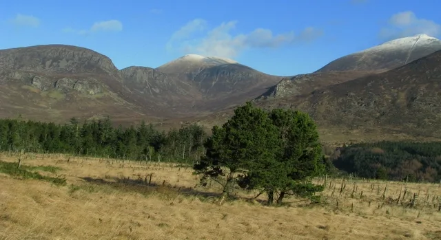
Rostrevor Forest is located near the village of Rostrevor, County Down, Northern Ireland. It lies between the Mourne Mountains and Carlingford Lough, in the Mourne Area of Outstanding Natural Beauty. The first trees, primarily sitka spruce, douglas fir and pine, were planted in 1931. The Forest Service carries out felling in the forest and replants trees with wildlife conservation in mind. Animal species found in the forest include red and grey squirrels, foxes, badgers, jays and sparrow hawks.
Excerpt from Wikipedia under CC BY-SA 4.0. See the source article linked in Sources below.
Background
Description
A 40-tonne granite boulder, known as the Cloughmore Stone or The Big Stone, is located on the top of a 1000 ft hill within the forest. It was deposited there approximately 10,000 years ago when the glacial ice sheet receded. The local legend states that the stone was thrown across Carlingford Lough from the top of the Cooley Mountains, by the giant Fionn mac Cumhaill. Rostrevor Oakwood is a 40 acre area of 250-year-old oak trees within the forest. They are the remains of the oak woods that were present on the lower Mourne mountains until it was mostly felled for use in boat building in the 18th and 19th centuries. The area is protected as a Special Area of Conservation. A clearing on the…
Sourced from Wikipedia under CC BY-SA 4.0.
- Coordinates
- 54.0950, -6.1880
- District
- Newry, Mourne and Down
- Postcode
- BT34 3AA
- Parliamentary constituency
- South Down
- Established
- 1931
- Official site
- www.daera-ni.gov.uk
Sources
- wikidata: Q20713832 (CC0)
- wikipedia: Rostrevor Forest (CC BY-SA 4.0)
- commons: Rostrevor forest (1) - geograph.org.uk - 205052.jpg (CC BY-SA 4.0)
Other places nearby
Loading nearby places…
Nearby
 📷 4
📷 4Parks · Northern Ireland
Kilbroney Park
Kilbroney Park in Northern Ireland, United Kingdom.
 📷 5
📷 5Natural landmarks · Northern Ireland
Cloughmore
Cloughmore in Northern Ireland, United Kingdom.
Caravan parks · Northern Ireland
Kilbroney Caravan Park
Kilbroney Caravan Park — a caravan park in northern ireland.
Caravan parks · Northern Ireland
Touring in the Trees - Kilbroney
Touring in the Trees - Kilbroney — a caravan park in northern ireland.
Mountain bike trails · Northern Ireland
Rostrevor Forest - x-country MTB - Section 4
Rostrevor Forest - x-country MTB - Section 4 — a mtb trail in northern ireland.
Mountain bike trails · Northern Ireland
Rostrevor Forest - x-country MTB - Section 5
Rostrevor Forest - x-country MTB - Section 5 — a mtb trail in northern ireland.
More archaeological sites in this region
 Flagship📷 5
Archaeological sites · Northern Ireland
Tollymore Forest Park
Tollymore Forest Park — park in the United Kingdom.
 📷 3
📷 3Archaeological sites · Northern Ireland
Annalong Forest
Annalong Forest — Forest in County Down, Northern Ireland.
 📷 3
📷 3Archaeological sites · Northern Ireland
Ballysallagh Forest
Ballysallagh Forest — forest in Northern Ireland.
 📷 3
📷 3Archaeological sites · Northern Ireland
Castleward Forest
Castleward Forest — castleward Forest: Northern Ireland.
Frequently asked questions
- Where is Rostrevor Forest?
- Rostrevor Forest is in Northern Ireland, United Kingdom (postcode BT34 3AA).
- When was Rostrevor Forest built?
- Built or established in 1931.
- Who owns Rostrevor Forest?
- Rostrevor Forest is owned by Forest Service Northern Ireland.
- How do I get to Rostrevor Forest?
- Drivers can navigate to postcode BT34 3AA. It sits within the South Down parliamentary constituency.