Archaeological sites · North West England
Roman settlement and industrial area at Winery Lane
Roman settlement and industrial area at Winery Lane — archaeological site in South Ribble, Lancashire, England, UK.

Wikimedia Commons contributors — see linked file page for photographer and licence licence
.jpg)
Plan your visit
- Typical visit
- 45 min–1.5 h
- Nearest railway station
- Preston · 1.9 km
- Free entry
- Dog-friendly
About
Roman settlement and industrial area at Winery Lane is an archaeological site in the United Kingdom. Heritage designation: scheduled monument. Wikidata describes it as: "archaeological site in South Ribble, Lancashire, England, UK". Coordinates: 53.7483°, -2.6813°.
Photo gallery
Place summary
The Roman settlement and industrial area at Winery Lane is an archaeological site located in North-West England. It is designated as a scheduled monument, highlighting its historical significance and preservation status.
AI-generated from the structured facts on this page (operator, designation, listing, era). Not a substitute for visiting.
- Coordinates
- 53.7483, -2.6813
- County
- Lancashire
- District
- South Ribble
- Parish
- South Ribble, unparished area
- Postcode
- PR5 4AR
- Parliamentary constituency
- Ribble Valley
- Nearest railway station
- Preston — 1.9 km
Sources
- wikidata: Q17640807 (CC0)
- commons: Winery lane north eastern area (park villa).jpg (CC BY-SA 4.0)
Other places nearby
Loading nearby places…
Nearby
 📷 3
📷 3Theatres · North West England
Vue Preston
Vue Preston in England North West, United Kingdom.
Cinemas · North West England
Vue
Vue — a cinema in england north west.
 📷 5
📷 5Museums · North West England
River Darwen
The River Darwen runs through Darwen and Blackburn in Lancashire, England, eventually joining the River Ribble at Walton le Dale south of Preston on its way to the Ribble Estuary.
📷 5Natural landmarks · North West England
Christ The King Catholic Maths and Computing College
Christ The King Catholic Maths and Computing College — a school heritage in england-north-west, United Kingdom.
 📷 3
📷 3Historic churches · North West England
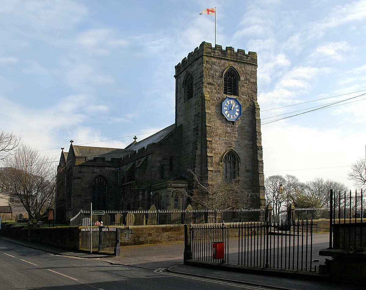
St Leonard's Church, Walton-le-Dale
St Leonard's Church, Walton-le-Dale — church in South Ribble, Lancashire, England, UK.
 📷 5
📷 5Historic churches · North West England
Jamea Masjid
Jamea Masjid — a mosque in england-north-west, United Kingdom.
More archaeological sites in this region
 📷 3
📷 3Archaeological sites · North West England
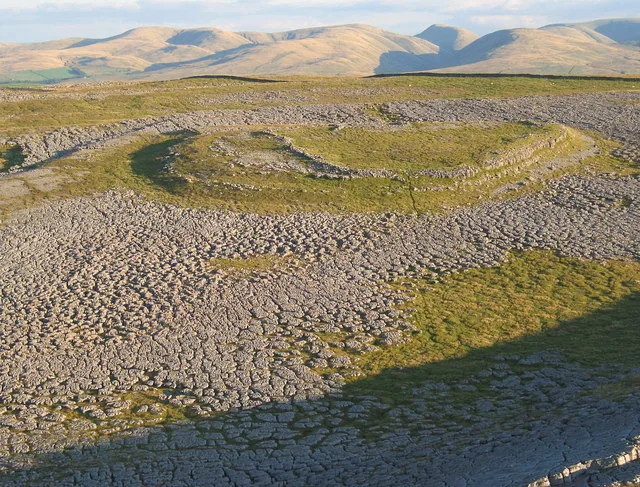
Castle Folds Romano-British defended stone hut circle settlement and medieval shieling
Castle Folds Romano-British defended stone hut circle settlement and medieval shieling — Romano-British walled settlement in Asby, Westmorland and Furness, Cumbria, England, UK.
 📷 3
📷 3Archaeological sites · North West England
Chapel Hill Motte, Arkholme
Chapel Hill Motte, Arkholme — archaeological site in Arkholme-with-Cawood, Lancaster, England, UK.
 📷 3
📷 3Archaeological sites · North West England
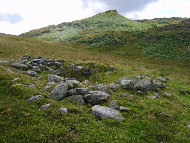
Dike, circles and cairns on Bleaberry Haws
Dike, circles and cairns on Bleaberry Haws — Scheduled Monument in the parish of Torver, Cumbria, England, UK.
 📷 3
📷 3Archaeological sites · North West England
Fother Royd Wood
Fother Royd Wood is a archaeological site in the United Kingdom.
Frequently asked questions
- Where is Roman settlement and industrial area at Winery Lane?
- Roman settlement and industrial area at Winery Lane is in Lancashire, North-West England, United Kingdom (postcode PR5 4AR), in the parish of South Ribble, unparished area.
- Is Roman settlement and industrial area at Winery Lane a listed building?
- Roman settlement and industrial area at Winery Lane is officially recognised as scheduled monument listed.
- How do I get to Roman settlement and industrial area at Winery Lane?
- The nearest railway station is Preston, about 1.9 km away. Drivers can navigate to postcode PR5 4AR.