Hill forts · South East England
Ringsbury Camp
Ringsbury Camp — hillfort in Wiltshire, England, UK.

Wikimedia Commons contributors — see linked file page for photographer and licence licence
Plan your visit
- Typical visit
- 1 h–2 h
- Nearest railway station
- Blunsdon · 4.6 km
- Free entry
- Dog-friendly
About
Ringsbury Camp is a hill fort in the United Kingdom. Heritage designation: scheduled monument. Wikidata describes it as: "hillfort in Wiltshire, England, UK". Coordinates: 51.5797°, -1.8933°.
Photo gallery
Protected designations
- Site of Special Scientific Interest: Restrop Farm and Brockhurst Wood SSSI
- Area of Outstanding Natural Beauty: Cotswolds
- Area of Outstanding Natural Beauty: North Wessex Downs
Designations sourced from Natural England open data under OGL v3.
From the Wikipedia article
Ringsbury Camp is an Iron Age hill fort, thought to date from approximately the year 50BC, in the civil parish of Purton in Wiltshire, England. The site is a scheduled monument.
Excerpt from Wikipedia under CC BY-SA 4.0. See the source article linked in Sources below.
Background
History
Historians have suggested that the fort may not have been used continually, but as an enclosure in times of unrest. Unrest was common in these times: the fort lies on the boundary of two old British kingdoms, and there were two major Celtic invasions in the years around which the fort was constructed. The fort is not part of the larger chain of hill forts along the Ridgeway, such as Barbury Castle, suggesting Ringsbury was an outpost. There are signs of earlier habitation of the site: Neolithic flint tools have been found within the fort. One Iron Age coin was discovered at the site, and is currently displayed in Purton Museum. Andrew Breeze has argued that Ringsbury Camp is the site of the…
Architecture
Ringsbury is a multivallate fort, as it has a double-banked structure. In all about 3.4 ha are enclosed by the surrounding walls. The inner bank is up to 5m high and is surrounded by a 3m deep ditch; the outer bank is 2m high and there are traces of an outer ditch. These are not local rocks, suggesting material was transported to the camp from further afield. The stones from the banks are very light, and are known as 'blood stones'. A reason for the lightness of the rocks was said to be blood soaking into the stones when they were used as missiles during battles; however, nowadays chemical weathering – carbonation – of the limestone is thought to account for their light mass.
Visiting
The site was designated as a scheduled monument in 1925. Several rights of way make the fort accessible. Ringsbury Camp can be reached most easily by walking west through fields from Battlewell and Restrop Road in Purton. The site has a grid reference of SU 075 867. Some local people refer to Ringsbury as 'The Roman Camp', although this does not reflect its earlier Iron Age heritage. Today Ringsbury is in grassland pasture, with the southern and western banks wooded. The centre of the camp, at one time, was ploughed, which may have destroyed any further artefacts waiting to be unearthed. Ringsbury Camp is part of Restrop Farm, a biological Site of Special Scientific Interest.
Sourced from Wikipedia under CC BY-SA 4.0.
- Coordinates
- 51.5797, -1.8933
- District
- Wiltshire
- Parish
- Purton
- Postcode
- SN5 4LW
- Parliamentary constituency
- South Cotswolds
- Nearest railway station
- Blunsdon — 4.6 km
Sources
- wikidata: Q7334977 (CC0)
- wikipedia: Ringsbury Camp (CC BY-SA 4.0)
- commons: Ringsbury Camp, near Purton - geograph.org.uk - 893100.jpg (CC BY-SA 4.0)
Other places nearby
Loading nearby places…
Nearby
 📷 5
📷 5Memorials & monuments · South East England
Purton War Memorial
Purton War Memorial — a memorial in england-south-east, United Kingdom.
 📷 5
📷 5Memorials & monuments · South East England
Lydiard Tregoze Parish War Memorial
Lydiard Tregoze Parish War Memorial — Grade II listed building-listed memorial in england-south-east, United Kingdom.
 📷 5
📷 5Memorials & monuments · South East England
Bewley Monument In Churchyard, 4 Metres West Of South Porch. Church Of All Saints
Bewley Monument In Churchyard, 4 Metres West Of South Porch. Church Of All Saints — Grade II listed building-listed memorial in england-south-east, United Kingdom.
 📷 5
📷 5Memorials & monuments · South East England
Pair Of Unidentified Monuments In Churchyard, 5 Metres North Of Chancel, Church Of All Saints
Pair Of Unidentified Monuments In Churchyard, 5 Metres North Of Chancel, Church Of All Saints — Grade II listed building-listed memorial in england-south-east, United Kingdom.
📷 5Memorials & monuments · South East England
Lydiard Millicent War Memorial
Lydiard Millicent War Memorial — Grade II listed building-listed memorial in england-south-east, United Kingdom.
 📷 5
📷 5Museums · South East England
Purton
Purton — a museum in england-south-east, United Kingdom.
More places in this region
 Flagship📷 10
Hill forts · South East England
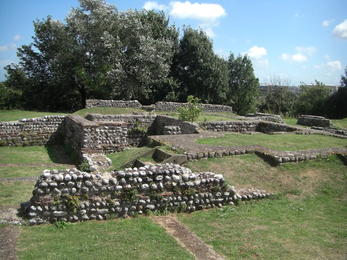
Castrum Anderitum
Castrum Anderitum — 3rd century Roman fort in the province of Britannia.
 Flagship📷 10
Hill forts · South East England
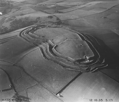
Maiden Castle
Maiden Castle — Iron Age hill fort in Dorset, England, UK.
 Flagship📷 10
Hill forts · South East England
Portus Adurni
Portus Adurni is a hill fort in the United Kingdom.
 Flagship📷 10
Hill forts · South East England
Richborough Roman Fort
Richborough Roman Fort — Roman fort at Richborough, Ash, United Kingdom.
Frequently asked questions
- Where is Ringsbury Camp?
- Ringsbury Camp is in South-East England, United Kingdom (postcode SN5 4LW), in the parish of Purton.
- Is Ringsbury Camp a listed building?
- Ringsbury Camp is officially recognised as scheduled monument listed.
- Is Ringsbury Camp a protected site?
- Yes — Ringsbury Camp is part of the Restrop Farm and Brockhurst Wood SSSI Site of Special Scientific Interest and the Cotswolds National Landscape (AONB).
- Is Ringsbury Camp free to visit?
- Yes, Ringsbury Camp is free to enter.
- How do I get to Ringsbury Camp?
- The nearest railway station is Blunsdon, about 4.6 km away. Drivers can navigate to postcode SN5 4LW.