Mountains & hills · Mid Wales
Pumlumon Fawr
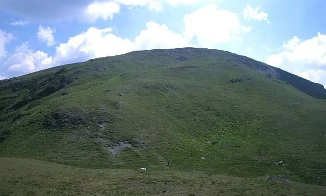
Pumlumon Fawr — Named summit at 752 m.

Wikimedia Commons contributors — see linked file page for photographer and licence licence
Plan your visit
- Typical visit
- 3 h–8 h
- Best time of year
- Late spring – early autumn (May–Oct)
- Free entry
- Dog-friendly
About
Pumlumon Fawr is a named summit in the United Kingdom. Wikidata describes it as: "Named summit at 752 m.". Coordinates: 52.4669°, -3.7830°.
Photo gallery
From the Wikipedia article
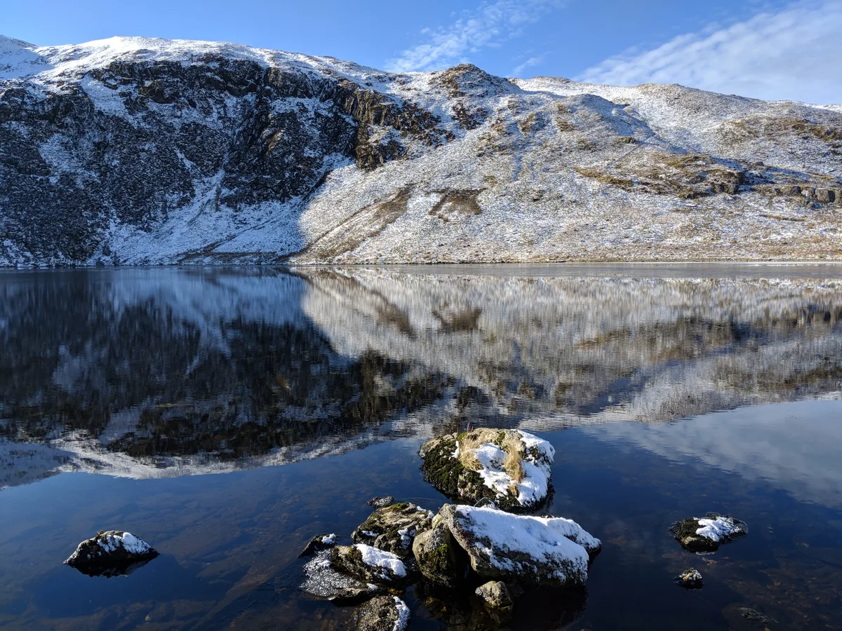
Plynlimon, or Pumlumon in Welsh (also historically anglicised as Plinlimon, Plynlymmon or Plinlimmon), is the highest point of the Cambrian Mountains in Wales (taking a restricted definition of the Cambrian Mountains, excluding Snowdonia, the Berwyns and the Brecon Beacons), and the highest point in Mid Wales. It is a massif that dominates the surrounding countryside and is the highest point of Ceredigion. The highest point of the massif itself is Pen Pumlumon Fawr, which is 752 metres (2,467 ft) above ordnance datum. Its other important peaks are Pen Pumlumon Arwystli, Y Garn, Pen Pumlumon Llygad-bychan and Pumlumon Fach. Bryn yr Ŵyn, or 'hill of the lambs', is a former Dewey in the foothills. The longest river in Britain, the River Severn, has its source on the mountain, as do the rivers Wye and Rheidol. Folklore says there is a sleeping giant in Plynlimon.
Excerpt from Wikipedia under CC BY-SA 4.0. See the source article linked in Sources below.
- Coordinates
- 52.4669, -3.7830
- Address
- Ceredigion, Wales
Sources
- osm: n29442634 (ODbL)
- wikipedia: Plynlimon (CC BY-SA 4.0)
- commons: Pumlumon Fawr.jpg (CC BY-SA 4.0)
Other places nearby
Loading nearby places…
Nearby
 📷 3
📷 3Mountains & hills · Mid Wales
Pumlumon
Pumlumon — a mountain in wales-mid, United Kingdom.
 📷 3
📷 3Natural landmarks · Mid Wales
Pumlumon Fawr
Pumlumon Fawr — mountain (752m) in Ceredigion, Wales.
 📷 3
📷 3Mountains & hills · Mid Wales
Pumlumon Fach
Pumlumon Fach — Named summit at 664 m.
 📷 3
📷 3Reservoirs & lochs · Mid Wales
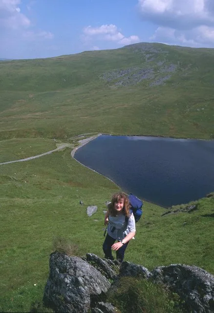
Llyn Llygad Rheidol
Llyn Llygad Rheidol — lake in Ceredigion, Wales.
 📷 3
📷 3Natural landmarks · Mid Wales
Pen Pumlumon Llygad-bychan
Pen Pumlumon Llygad-bychan — mountain (727m) in Ceredigion.
 📷 5
📷 5National landscapes (AONB) · Mid Wales
River Wye
River Wye in Wales Mid, United Kingdom.
More mountains in this region
 📷 3
📷 3Mountains & hills · Mid Wales
Black Hill
Black Hill — Named summit at 640 m.
 📷 3
📷 3Mountains & hills · Mid Wales
Black Mixen
Black Mixen — Named summit at 650 m.
 📷 5
📷 5Mountains & hills · Mid Wales
Cadair Idris
Cadair Idris — Named summit at 893 m.
 📷 3
📷 3Mountains & hills · Mid Wales
Caer Caradoc
Caer Caradoc — Named summit at 459 m.
Frequently asked questions
- Where is Pumlumon Fawr?
- Pumlumon Fawr is in Mid Wales, in the United Kingdom — coordinates 52.4669°, -3.7830°.
- Is Pumlumon Fawr free to visit?
- Yes — admission to Pumlumon Fawr is free.