Mountains & hills · Mid Wales
Pumlumon Fach
Pumlumon Fach — Named summit at 664 m.

Wikimedia Commons contributors — see linked file page for photographer and licence licence
Plan your visit
- Typical visit
- 3 h–8 h
- Best time of year
- Late spring – early autumn (May–Oct)
- Free entry
- Dog-friendly
About
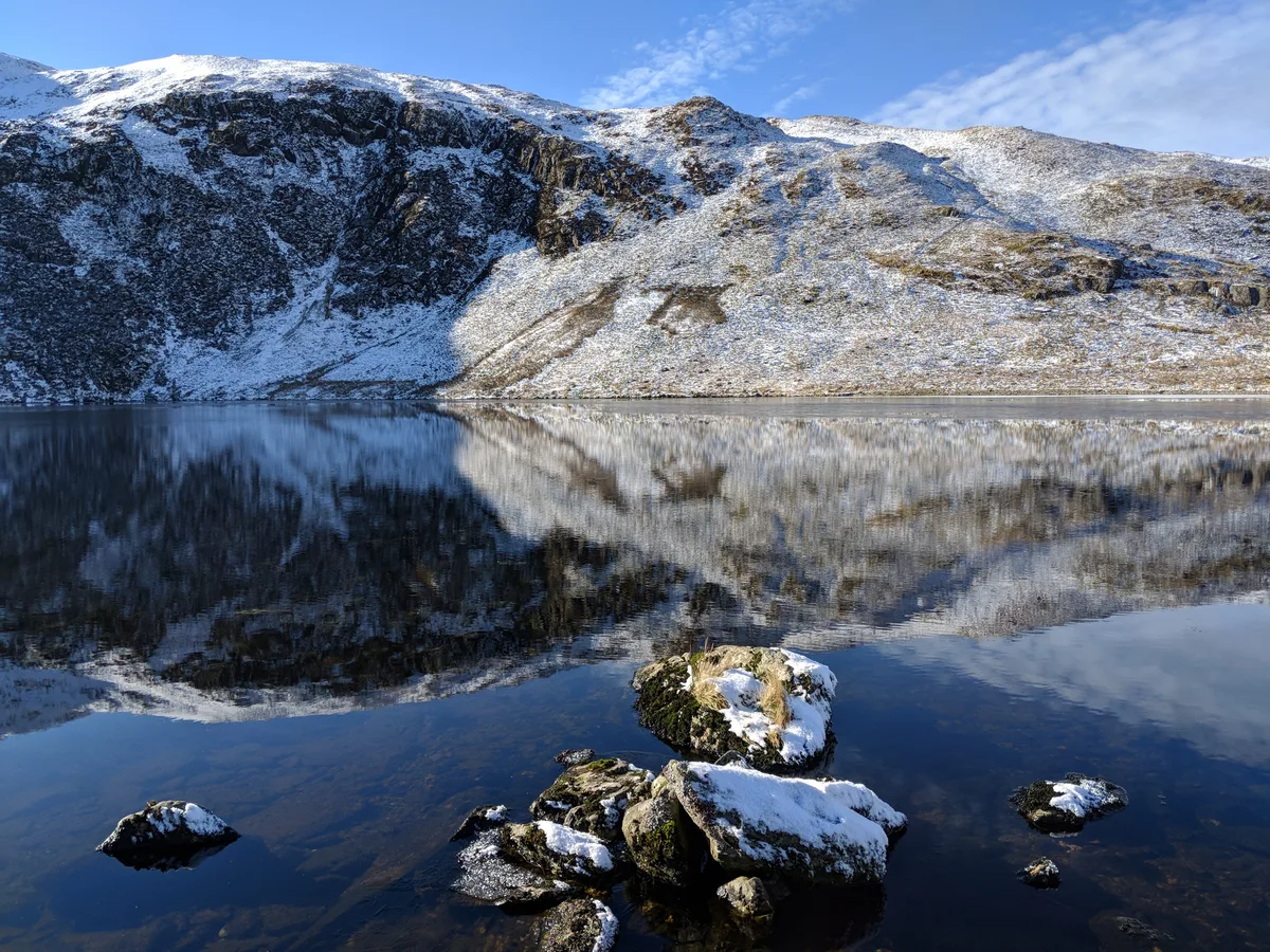
Pumlumon Fach is a named summit in the United Kingdom. Wikidata describes it as: "Named summit at 664 m.". Coordinates: 52.4713°, -3.7869°.
Photo gallery
From the Wikipedia article
Pumlumon Fach is a top of Pen Pumlumon Fawr on the Plynlimon massif, a part of the Cambrian Mountains in the county of Ceredigion, Wales. It lies on small ridge heading north-west from the summit of Pen Pumlumon Fawr. The summit is marked by small cairn, and overlooks the Nant-y-moch Reservoir to the north and Llyn Llygad Rheidiol to the east. The views also include the smaller summits of Drosgol (550m) and Banc Llechwedd-mawr (560m) and Cwm Hyddgen, a hide out of Owain Glyndŵr and his army.
Excerpt from Wikipedia under CC BY-SA 4.0. See the source article linked in Sources below.
- Coordinates
- 52.4713, -3.7869
- Address
- Ceredigion, Wales
Sources
- osm: n3390329121 (ODbL)
- wikipedia: Pumlumon Fach (CC BY-SA 4.0)
- commons: On Pumlumon Fach - geograph.org.uk - 34854.jpg (CC BY-SA 4.0)
Other places nearby
Loading nearby places…
Nearby
 📷 3
📷 3Natural landmarks · Mid Wales
Pumlumon Fawr
Pumlumon Fawr — mountain (752m) in Ceredigion, Wales.
 📷 3
📷 3Reservoirs & lochs · Mid Wales
Llyn Llygad Rheidol
Llyn Llygad Rheidol — lake in Ceredigion, Wales.
 📷 3
📷 3Mountains & hills · Mid Wales
Pumlumon
Pumlumon — a mountain in wales-mid, United Kingdom.
 📷 3
📷 3Mountains & hills · Mid Wales
Pumlumon Fawr
Pumlumon Fawr — Named summit at 752 m.
 📷 3
📷 3Natural landmarks · Mid Wales
Pen Pumlumon Llygad-bychan
Pen Pumlumon Llygad-bychan — mountain (727m) in Ceredigion.
Hostels · Mid Wales
Maesnant Centre
Maesnant Centre — a hostel in wales mid.
More mountains in this region
 📷 3
📷 3Mountains & hills · Mid Wales
Black Hill
Black Hill — Named summit at 640 m.
 📷 3
📷 3Mountains & hills · Mid Wales
Black Mixen
Black Mixen — Named summit at 650 m.
 📷 5
📷 5Mountains & hills · Mid Wales
Cadair Idris
Cadair Idris — Named summit at 893 m.
 📷 3
📷 3Mountains & hills · Mid Wales
Caer Caradoc
Caer Caradoc — Named summit at 459 m.
Frequently asked questions
- Where is Pumlumon Fach?
- Pumlumon Fach is in Mid Wales, in the United Kingdom — coordinates 52.4713°, -3.7869°.
- Is Pumlumon Fach free to visit?
- Yes — admission to Pumlumon Fach is free.