Towns & cities · South West England
Portreath
Portreath — village and civil parish in Cornwall, England, UK.

Wikimedia Commons contributors — see linked file page for photographer and licence licence
Plan your visit
- Typical visit
- 3 h–6 h
- Nearest railway station
- Moseley Junction (Low Level) · 3.8 km
- Free entry
- Family-friendly
- Dog-friendly
About
Portreath is a town, city, village or settlement in the United Kingdom. Recent population estimates put it at around 1,336 people. Address: TR16. Wikidata describes it as: "village and civil parish in Cornwall, England, UK". Coordinates: 50.2610°, -5.2880°.
Photo gallery
Protected designations
- Site of Special Scientific Interest: Godrevy Head to St Agnes SSSI
- Area of Outstanding Natural Beauty: Cornwall
Designations sourced from Natural England open data under OGL v3.
From the Wikipedia article
Portreath (Cornish: Porthtreth) is a civil parish, village and fishing port on the north coast of Cornwall, England, United Kingdom. The village is about three miles (5 km) west-north-west of Redruth. The village extends along both sides of a stream valley and is centred on the harbour and beach. West of the harbour entrance and breakwater are two sandy beaches that are popular with holidaymakers, surfers and naturists. Portreath lies within the Cornwall Area of Outstanding Natural Beauty (AONB). Almost a third of Cornwall has AONB designation, with the same status and protection as a National Park. Separately, in early 2017, the village was looking to be a hedgehog-friendly village. It would join Burton Fleming in the East Riding of Yorkshire as one of a handful of hedgehog-friendly villages in the UK.
Excerpt from Wikipedia under CC BY-SA 4.0. See the source article linked in Sources below.
Background
History
The name Portreath (meaning "sandy cove") was first recorded in 1485, and tin streaming in the valley was recorded from 1602. Devon contractor Samuel Nott was engaged to build the first mole (or quay) in 1713 on the western side of the beach, near Amy's Point. The quay was destroyed by the sea before 1749, and the foundations are occasionally seen when the sea washes away the sand. The village also had a fishing fleet, mainly for pilchards. With the population growing, a church was built in 1827; the Portreath Hotel (1856), Methodist Chapel (1858), Basset Arms (1878) and the School (1880) all followed. A cholera outbreak in 1878 caused the death of almost half the population. The copper…
Sourced from Wikipedia under CC BY-SA 4.0.
- Coordinates
- 50.2610, -5.2880
- District
- Cornwall
- Parish
- Portreath
- Postcode
- TR16
- Parliamentary constituency
- Camborne and Redruth
- Population
- 1,336
- Nearest railway station
- Moseley Junction (Low Level) — 3.8 km
- Official site
- neighbourhood.statistics.gov.uk
Sources
- wikidata: Q202331 (CC0)
- wikipedia: Portreath (CC BY-SA 4.0)
- commons: Portreath Haven ebb.jpg (CC BY-SA 4.0)
Other places nearby
Loading nearby places…
Nearby
 📷 5
📷 5Follies · South West England
Portreath Gazebo
Portreath Gazebo — Folly or eyecatcher.
 📷 5
📷 5Viewpoints · South West England
Picnic Area
Picnic Area is a viewpoint in the United Kingdom.
 📷 5
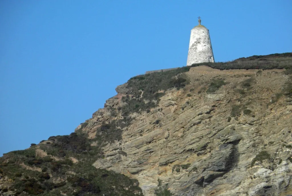
📷 5Lighthouses · South West England
Huer's Hut, Portreath
Huer's Hut, Portreath — Daymark in Cornwall, England, UK.
📷 3Zoos & aquariums · South West England
Feadon Wildlife Centre
Feadon Wildlife Centre — a zoo aquarium in england-south-west, United Kingdom.
.jpg?width=1200) 📷 5
📷 5Beaches · South West England
Portreath Beach
Portreath Beach — coastal feature in Cornwall, United Kingdom.
 📷 5
📷 5Beaches · South West England
Portreath Beach
Portreath Beach is a beach in the United Kingdom.
More towns in this region
 Flagship📷 10
Towns & cities · South West England
All Saints
All Saints — village and civil parish in Devon, England, UK.
 Flagship📷 10
Towns & cities · South West England
Axmouth
Axmouth — village and civil parish in Devon, England, UK.
 ★ Iconic📷 10
Towns & cities · South West England
Beer
Beer — village and civil parish in Devon, UK.
 Flagship📷 10
Towns & cities · South West England
Branscombe
Branscombe — village and civil parish in Devon, UK.
Frequently asked questions
- Where is Portreath?
- Portreath is in South-West England, United Kingdom (postcode TR16), in the parish of Portreath.
- Is Portreath a protected site?
- Yes — Portreath is part of the Godrevy Head to St Agnes SSSI Site of Special Scientific Interest and the Cornwall National Landscape (AONB).
- Is Portreath free to visit?
- Yes, Portreath is free to enter.
- How do I get to Portreath?
- The nearest railway station is Moseley Junction (Low Level), about 3.8 km away. Drivers can navigate to postcode TR16.