Viewpoints · South West England
Picnic Area
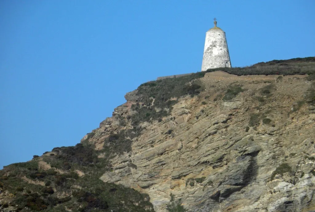
Picnic Area is a viewpoint in the United Kingdom.

Alan Walker — CC BY-SA 2.0 via Wikimedia Commons licence
Plan your visit
- Typical visit
- 20 min–45 min
- Best time of year
- Clear days year-round
- Nearest railway station
- Moseley Junction (Low Level) · 3.5 km
- Free entry
- Dog-friendly
About
Picnic Area is a named viewpoint in South-West England, marked on Ordnance Survey maps for its outlook. The site is within the Cornwall National Landscape (AONB), and is a designated Site of Special Scientific Interest. It sits within the Camborne and Redruth parliamentary constituency. The nearest railway station is Moseley Junction (Low Level), about 3.5 km away. Postcode area TR16.
Photo gallery
Protected designations
- Site of Special Scientific Interest: Godrevy Head to St Agnes SSSI
- Area of Outstanding Natural Beauty: Cornwall
Designations sourced from Natural England open data under OGL v3.
From the Wikipedia article
A picnic is a meal taken outdoors (al fresco) as part of an excursion, especially in scenic surroundings, such as a park, lakeside, or other place affording an interesting view, or else in conjunction with a public event such as preceding an open-air theater performance, and usually in summer or spring. It is different from other meals because it requires free time to leave home. Historically, in Europe, the idea of a meal that was jointly contributed to and enjoyed out-of-doors was essential to picnic from the early 19th century. Picnickers like to sit on the ground on a rug or blanket. Picnics can be informal with throwaway plates or formal with silver cutlery and crystal wine glasses. Tables and chairs may be used, but this is less common. Outdoor games or other forms of entertainment are common at large picnics. In public parks, a picnic area generally includes picnic tables and possibly built-in barbecue grills, water faucets (taps), garbage (rubbish) containers, restrooms (toilets) and gazebos (shelters). Some picnics are a potluck, where each person contributes a dish for all to share. The food eaten is rarely hot, instead taking the form of sandwiches, finger food, fresh fruit, salad and cold meats. It can be accompanied by chilled wine, champagne or soft drinks.
Excerpt from Wikipedia under CC BY-SA 4.0. See the source article linked in Sources below.
- Coordinates
- 50.2587, -5.2872
- District
- Cornwall
- Parish
- Portreath
- Postcode
- TR16 4LL
- Parliamentary constituency
- Camborne and Redruth
- Nearest railway station
- Moseley Junction (Low Level) — 3.5 km
- Official site
- cove.co.uk
Sources
- osm: w244451127 (ODbL)
- wikipedia: Picnic area (CC BY-SA 4.0)
Other places nearby
Loading nearby places…
Nearby
📷 3Zoos & aquariums · South West England
Feadon Wildlife Centre
Feadon Wildlife Centre — a zoo aquarium in england-south-west, United Kingdom.
 📷 5
📷 5Follies · South West England
Portreath Gazebo
Portreath Gazebo — Folly or eyecatcher.
 📷 5
📷 5Towns & cities · South West England
Portreath
Portreath — village and civil parish in Cornwall, England, UK.
 📷 3
📷 3Manor houses · South West England
Tregea Manor
Tregea Manor — Grade II listed building-listed manor in england-south-west, United Kingdom.
.jpg?width=1200) 📷 5
📷 5Beaches · South West England
Portreath Beach
Portreath Beach — coastal feature in Cornwall, United Kingdom.
 📷 5
📷 5Lighthouses · South West England
Huer's Hut, Portreath
Huer's Hut, Portreath — Daymark in Cornwall, England, UK.
More viewpoints in this region
 📷 5
📷 5Viewpoints · South West England
199
199 — Named viewpoint at 69.099976 m elevation.
 📷 5
📷 5Viewpoints · South West England
Artists Chair
Artists Chair is a viewpoint in the United Kingdom.
 📷 5
📷 5Viewpoints · South West England
Bass Point
Bass Point is a viewpoint in the United Kingdom.
 📷 5
📷 5Viewpoints · South West England
Beacon
Beacon is a viewpoint in the United Kingdom.
Frequently asked questions
- Where is Picnic Area?
- Picnic Area is in South-West England, United Kingdom (postcode TR16 4LL), in the parish of Portreath.
- Is Picnic Area a protected site?
- Yes — Picnic Area is part of the Godrevy Head to St Agnes SSSI Site of Special Scientific Interest and the Cornwall National Landscape (AONB).
- Is Picnic Area free to visit?
- Yes, Picnic Area is free to enter.
- How do I get to Picnic Area?
- The nearest railway station is Moseley Junction (Low Level), about 3.5 km away. Drivers can navigate to postcode TR16 4LL.