Mountains & hills · North Wales
Penycloddiau
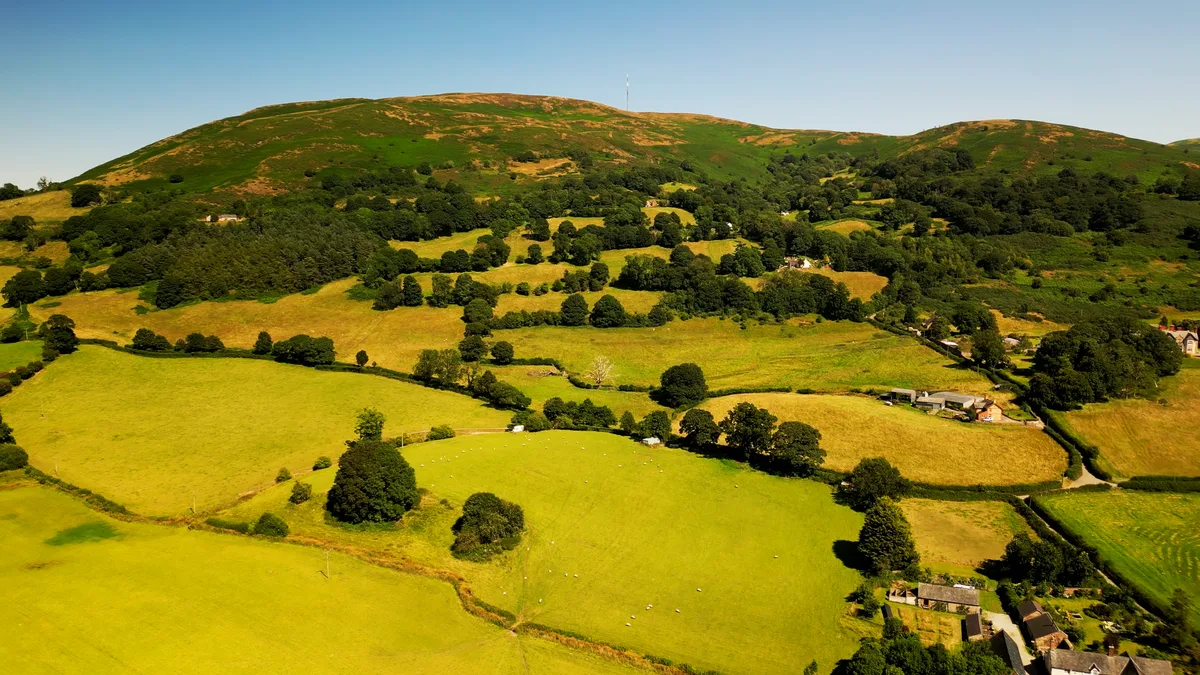
Penycloddiau — Named summit at 440 m.

Wikimedia Commons contributors — see linked file page for photographer and licence licence
%2C_Bryniau_Clwyd_(archaic%2C_colonial_spelling_'Clwydian_Range')_23.png)
Plan your visit
- Typical visit
- 3 h–8 h
- Best time of year
- Late spring – early autumn (May–Oct)
- Free entry
- Dog-friendly
About
Penycloddiau is a named summit in the United Kingdom. Wikidata describes it as: "Named summit at 440 m.". Coordinates: 53.2009°, -3.3081°.
Photo gallery
From the Wikipedia article
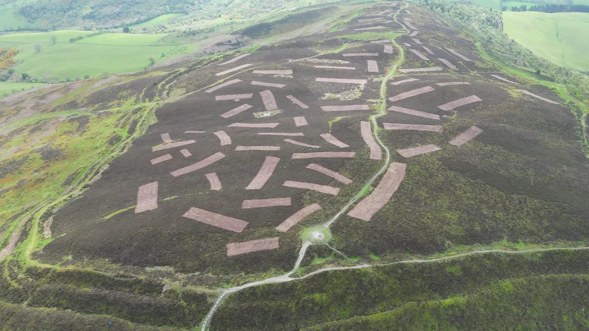
Penycloddiau is a hill in Flintshire, Wales, and one of five Marilyns in the Clwydian Range. The hill, like Foel Fenlli and Moel Arthur to the south, has an Iron Age hillfort at its summit. It covers 26 hectares (64 acres) making it one of the largest hillforts in Wales. In 2017, excavations by the Clywdian Range Archaeology Group (CRAG) unearthed a significant number of 4,000-year-old stone tools from the Bronze Age, the discovery indicates human activity occurred much earlier than first thought in the area. Penycloddiau is crossed by the Offa's Dyke Path and the Clwydian Way, two long distance footpaths that traverse the hills in this area. A free car park exists at the bwlch between Penycloddiau and Moel Arthur, where two footpaths lead to the summit.
Excerpt from Wikipedia under CC BY-SA 4.0. See the source article linked in Sources below.
- Coordinates
- 53.2009, -3.3081
- District
- Denbighshire
- Parish
- Llandyrnog
- Postcode
- LL16 4HR
- Parliamentary constituency
- Clwyd East
Sources
- osm: n2818166722 (ODbL)
- wikipedia: Penycloddiau (CC BY-SA 4.0)
- commons: Ochr ogleddol Bryngaer Penycloddiau Hillfort (north side), Bryniau Clwyd (archaic, colonial spelling 'Clwydian Range') 23.png (CC BY-SA 4.0)
Other places nearby
Loading nearby places…
Nearby
 📷 5
📷 5Hill forts · North Wales
Penycloddiau
Penycloddiau — hillfort primarily located in Ysceifiog community, Flintshire.
 📷 3
📷 3Hill forts · North Wales
Penycloddiau Hill Fort
Penycloddiau Hill Fort — a hill fort in wales-north, United Kingdom.
 📷 5
📷 5Historic churches · North Wales
St Cwyfan's Church
St Cwyfan's Church — Grade II* listed building-listed church in wales-north, United Kingdom.
Mountain bike trails · North Wales
Ride the Clwyds
Ride the Clwyds — a mtb trail in wales north.

Mountains & hills · North Wales
Bryn Golau
Bryn Golau — a mountain in wales-north, United Kingdom, 302 m.
 📷 3
📷 3Mountains & hills · North Wales
Moel y Parc
Moel y Parc — Named summit at 395 m.
More mountains in this region
 📷 5
📷 5Mountains & hills · North Wales
Cemlyn Bay and lagoon
Cemlyn Bay and lagoon — Site of Special Scientific Interest in Wales.
 📷 3
📷 3Mountains & hills · North Wales
Aberffraw Bay
Aberffraw Bay — bay on the west coast of Anglesey, in Wales, UK.
 📷 3
📷 3Mountains & hills · North Wales
Allt-fawr
Allt-fawr — Named summit at 698 m.
 📷 3
📷 3Mountains & hills · North Wales
Aran Benllyn
Aran Benllyn — Named summit at 884 m.
Frequently asked questions
- Where is Penycloddiau?
- Penycloddiau is in North Wales, United Kingdom (postcode LL16 4HR), in the parish of Llandyrnog.
- Is Penycloddiau free to visit?
- Yes, Penycloddiau is free to enter.
- How do I get to Penycloddiau?
- Drivers can navigate to postcode LL16 4HR. It sits within the Clwyd East parliamentary constituency.