Forests & woodlands · West Midlands
Narborough Bog
Narborough Bog is a forest or woodland in the United Kingdom.

Wikimedia Commons contributors — see linked file page for photographer and licence licence
Plan your visit
- Typical visit
- 1 h–3 h
- Nearest railway station
- Narborough · 0.9 km
- Free entry
- Family-friendly
- Dog-friendly
About
Narborough Bog is a named forest, woodland or nature reserve in the United Kingdom. Coordinates: 52.5749°, -1.1915°. This entry is part of The Great Britain Guide, a free, ad-free, open-data tourist directory.
Photo gallery
Protected designations
- Site of Special Scientific Interest: Narborough Bog SSSI
Designations sourced from Natural England open data under OGL v3.
From the Wikipedia article
Narborough Bog is an 8.5-hectare (21-acre) biological Site of Special Scientific Interest east of Narborough in Leicestershire. It is owned and managed by the Leicestershire and Rutland Wildlife Trust. This site has a large area of common reed on peat, and there is also wet woodland, dominated by crack willow. Natural England's citation for the site states that it is 'exceptionally rich' in species of butterflies and moths, including several locally uncommon species. In the south of the site there are two wet grazed meadows and more woodland. The entrance to the site is at the northern end of the local recreation ground, which is off Leicester Road.
Excerpt from Wikipedia under CC BY-SA 4.0. See the source article linked in Sources below.
- Coordinates
- 52.5749, -1.1915
- County
- Leicestershire
- District
- Blaby
- Parish
- Narborough
- Postcode
- LE19 2DD
- Parliamentary constituency
- South Leicestershire
- Nearest railway station
- Narborough — 0.9 km
Sources
- osm: w1054876732 (ODbL)
- wikipedia: Narborough Bog (CC BY-SA 4.0)
- commons: Narborough Bog 1.jpg (CC BY-SA 4.0)
Other places nearby
Loading nearby places…
Nearby
 📷 5
📷 5Museums · West Midlands
Blaby District
Blaby is a local government district in Leicestershire, England. The district is named after the village of Blaby, although the council is based in Narborough. The district covers an area lying south-
 📷 5
📷 5Towns & cities · West Midlands
Narborough
Narborough — village and civil parish in Leicestershire, UK.
 📷 3
📷 3Historic churches · West Midlands
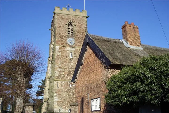
All Saints Church, Narborough
All Saints Church, Narborough — church in Blaby, United Kingdom.
 📷 3
📷 3Memorials & monuments · West Midlands
Narborough War Memorial
Narborough War Memorial — Grade II listed building-listed memorial in england-west-midlands, United Kingdom.
 📷 3
📷 3Memorials & monuments · West Midlands
Whetstone War Memorial
Whetstone War Memorial — Grade II listed building-listed memorial in england-west-midlands, United Kingdom.
 📷 3
📷 3Stately homes · West Midlands
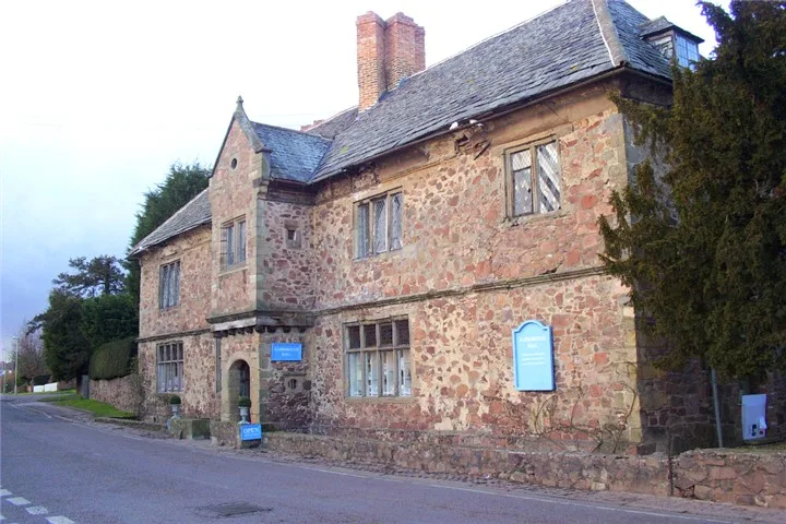
Narborough Hall
Narborough Hall — house in Narborough, Leicestershire, England, UK.
More forests in this region
 📷 3
📷 3Forests & woodlands · West Midlands
Abington Meadows Nature Reserve
Abington Meadows Nature Reserve is a forest or woodland in the United Kingdom.
_(geograph_2935627).jpg?width=1200) 📷 3
📷 3Forests & woodlands · West Midlands
Adderbury Lakes
Adderbury Lakes is a forest or woodland in the United Kingdom.
 📷 3
📷 3Forests & woodlands · West Midlands
Alcott Wood
Alcott Wood is a forest or woodland in the United Kingdom.
 📷 3
📷 3Forests & woodlands · West Midlands
Alvecote Meadows Nature Reserve
Alvecote Meadows Nature Reserve is a forest or woodland in the United Kingdom.
Frequently asked questions
- Where is Narborough Bog?
- Narborough Bog is in Leicestershire, the West Midlands, United Kingdom (postcode LE19 2DD), in the parish of Narborough.
- Is Narborough Bog a protected site?
- Yes — Narborough Bog is part of the Narborough Bog SSSI Site of Special Scientific Interest.
- Is Narborough Bog free to visit?
- Yes, Narborough Bog is free to enter.
- How do I get to Narborough Bog?
- The nearest railway station is Narborough, about 0.9 km away. Drivers can navigate to postcode LE19 2DD.