Museums · West Midlands
Blaby District
Blaby is a local government district in Leicestershire, England. The district is named after the village of Blaby, although the council is based in Narborough. The district covers an area lying south-

Neil Theasby — CC BY-SA 2.0 via Wikimedia Commons licence
Plan your visit
- Typical visit
- 1.5 h–3 h
- Best time of year
- Year-round
- Family-friendly
- Limited wheelchair access
About
Blaby is a local government district in Leicestershire, England. The district is named after the village of Blaby, although the council is based in Narborough. The district covers an area lying south-west of the city of Leicester. Several of the district's settlements form part of the wider Leicester Urban Area, including Glenfield, where Leicestershire County Council has its headquarters at County Hall, and the town of Braunstone. The neighbouring districts are Hinckley and Bosworth, Charnwood, Leicester, Oadby and Wigston, Harborough and Rugby.
Photo gallery
From the Wikipedia article
Blaby is a local government district in Leicestershire, England. The district is named after the village of Blaby, although the council is based in Narborough. The district covers an area lying south-west of the city of Leicester. Several of the district's settlements form part of the wider Leicester Urban Area, including Glenfield, where Leicestershire County Council has its headquarters at County Hall, and the town of Braunstone. The neighbouring districts are Hinckley and Bosworth, Charnwood, Leicester, Oadby and Wigston, Harborough and Rugby.
Excerpt from Wikipedia under CC BY-SA 4.0. See the source article linked in Sources below.
Background
History
The district traces its origins to the Blaby Poor Law Union, which had been created in 1836. Although named after Blaby, the union built its workhouse in Enderby. In 1872 sanitary districts were established, giving public health and local government responsibilities for rural areas to the existing boards of guardians of poor law unions. In 1894 rural sanitary districts were redesignated as rural districts with their own councils, and so the Blaby Rural District came into being. At the same time, Wigston was removed from the district to become its own urban district. Oadby was subsequently also removed from the district in 1913 to become an urban district. In 1935 the district ceded some…
Sourced from Wikipedia under CC BY-SA 4.0.
- Coordinates
- 52.5730, -1.2000
- County
- Leicestershire
- District
- Blaby
- Parish
- Narborough
- Postcode
- LE19 2DP
- Parliamentary constituency
- South Leicestershire
Sources
- wikipedia: Blaby District (CC BY-SA 4.0)
Other places nearby
Loading nearby places…
Nearby
 📷 5
📷 5Towns & cities · West Midlands
Narborough
Narborough — village and civil parish in Leicestershire, UK.
 📷 3
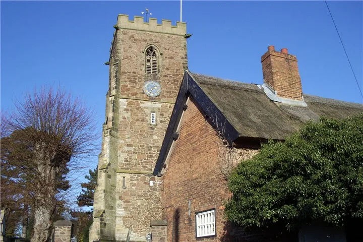
📷 3Historic churches · West Midlands
All Saints Church, Narborough
All Saints Church, Narborough — church in Blaby, United Kingdom.
 📷 3
📷 3Memorials & monuments · West Midlands
Narborough War Memorial
Narborough War Memorial — Grade II listed building-listed memorial in england-west-midlands, United Kingdom.
 📷 3
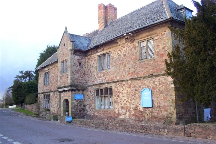
📷 3Stately homes · West Midlands
Narborough Hall
Narborough Hall — house in Narborough, Leicestershire, England, UK.
 📷 5
📷 5Forests & woodlands · West Midlands
Narborough Bog
Narborough Bog is a forest or woodland in the United Kingdom.
 📷 3
📷 3Memorials & monuments · West Midlands
Whetstone War Memorial
Whetstone War Memorial — Grade II listed building-listed memorial in england-west-midlands, United Kingdom.
More museums in this region
 📷 5
📷 5Museums · West Midlands
A Real Birmingham Family
A Real Birmingham Family — Public artwork (sculpture) by Gillian Wearing.
 📷 3
📷 3Museums · West Midlands
Abington Abbey
Abington Abbey — stately home, now museum, in Abington Park, Northampton, England, UK.
.jpg?width=1200) 📷 5
📷 5Museums · West Midlands
Aspire
Aspire — Public artwork (sculpture) by Anuradha Patel.
 📷 3
📷 3Museums · West Midlands
Aston Martin Heritage Trust Museum
Aston Martin Heritage Trust Museum — Automobile museum in Drayton St Leonard, England.
Frequently asked questions
- Where is Blaby District?
- Blaby District is in West Midlands, in the United Kingdom — coordinates 52.5730°, -1.2000°.
- Is Blaby District wheelchair accessible?
- Partially — OpenStreetMap notes limited wheelchair access at Blaby District. Check ahead for specific facilities.