Mountains & hills · North Wales
Moelwyn Mawr
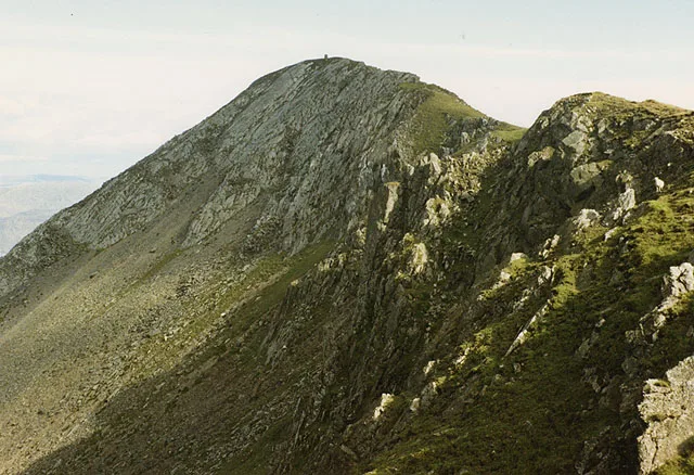
Moelwyn Mawr — Named summit at 770 m.

Wikimedia Commons contributors — see linked file page for photographer and licence licence
Plan your visit
- Typical visit
- 3 h–8 h
- Best time of year
- Late spring – early autumn (May–Oct)
- Nearest railway station
- Tanygrisiau · 2.5 km
- Free entry
- Dog-friendly
About
Moelwyn Mawr is a named summit in the United Kingdom. Wikidata describes it as: "Named summit at 770 m.". Coordinates: 52.9842°, -4.0002°.
Photo gallery
From the Wikipedia article
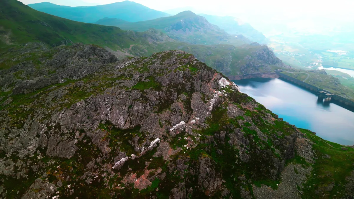
Moelwyn Mawr is a mountain in Snowdonia, North Wales and forms part of the Moelwynion. Its summit overlooks the Vale of Ffestiniog and has views in all directions.
Excerpt from Wikipedia under CC BY-SA 4.0. See the source article linked in Sources below.
Background
Architecture
In 1990, Moelwyn Mawr was designated a Site of Special Scientific Interest of national scientific importance. The glaciated landscape of the mountain provides fine examples of two specific Pleistocene features. On the north-east flank of the mountain is a terrain of patterned ground, consisting of small-scale vegetated stripes. On the north side, a debris tongue formed by a rock glacier extends into Cwm Croesor.
Sourced from Wikipedia under CC BY-SA 4.0.
- Coordinates
- 52.9842, -4.0002
- Address
- Gwynedd, Wales
- Nearest railway station
- Tanygrisiau — 2.5 km
Sources
- osm: n1403197099 (ODbL)
- wikipedia: Moelwyn Mawr (CC BY-SA 4.0)
- commons: The summit of Moelwyn Mawr.jpg (CC BY-SA 4.0)
Other places nearby
Loading nearby places…
Nearby
 📷 4
📷 4Mountains & hills · North Wales
Moelwyn Mawr North Ridge Top
Moelwyn Mawr North Ridge Top — a mountain in wales-north, United Kingdom, 640 m.
 📷 3
📷 3Natural landmarks · North Wales
Moelwyn Mawr
Moelwyn Mawr — mountain (770m) in Gwynedd.
 📷 3
📷 3Mountains & hills · North Wales
Craigysgafn
Craigysgafn — Named summit at 689 m.
 📷 3
📷 3Historic houses · North Wales
Pant-mawr Mine Slate Mill
Pant-mawr Mine Slate Mill — a historic house in wales-north, United Kingdom.
 📷 3
📷 3Historic houses · North Wales
Croesor Slate Mine Entrance Adit
Croesor Slate Mine Entrance Adit — a historic house in wales-north, United Kingdom.
 📷 3
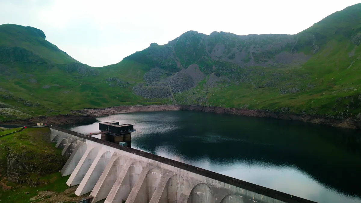
📷 3Reservoirs & lochs · North Wales
Llyn Stwlan
Llyn Stwlan — reservoir lake in Gwynedd, Wales which produces hydroelectric power.
More mountains in this region
 📷 5
📷 5Mountains & hills · North Wales
Cemlyn Bay and lagoon
Cemlyn Bay and lagoon — Site of Special Scientific Interest in Wales.
 📷 3
📷 3Mountains & hills · North Wales
Aberffraw Bay
Aberffraw Bay — bay on the west coast of Anglesey, in Wales, UK.
 📷 3
📷 3Mountains & hills · North Wales
Allt-fawr
Allt-fawr — Named summit at 698 m.
 📷 3
📷 3Mountains & hills · North Wales
Aran Benllyn
Aran Benllyn — Named summit at 884 m.
Frequently asked questions
- Where is Moelwyn Mawr?
- Moelwyn Mawr is in North Wales, United Kingdom.
- Is Moelwyn Mawr free to visit?
- Yes, Moelwyn Mawr is free to enter.
- How do I get to Moelwyn Mawr?
- The nearest railway station is Tanygrisiau, about 2.5 km away.