Archaeological sites · North Wales
Mersey Forest
Mersey Forest is a archaeological site in the United Kingdom.

Wikimedia Commons licence
Plan your visit
- Typical visit
- 45 min–1.5 h
- Nearest railway station
- Hough Green · 1.8 km
- Free entry
- Dog-friendly
About
Mersey Forest is an archaeological site in the United Kingdom. Coordinates: 53.3667°, -2.8000°. This entry is part of The Great Britain Guide, a free, ad-free, open-data tourist directory.
Photo gallery
Protected designations
- Site of Special Scientific Interest: Mersey Estuary SSSI
- Ramsar wetland: Mersey Estuary
Designations sourced from Natural England open data under OGL v3.
From the Wikipedia article
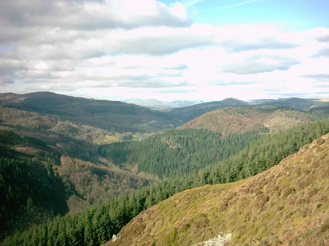
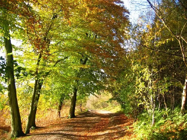
The Mersey Forest is a network of woodlands and green spaces being created across Merseyside and North Cheshire by a wide-ranging partnership of different organisations including local authorities, community groups and businesses. The Mersey Forest is the biggest of twelve community forests covering 420 square miles (1,100 km2) and accessible to a local population of 1.6 million people. It stretches from Sefton to the north of Liverpool and south to Northwich in Cheshire. Delamere Forest in the south of the area being the largest area of established woodland. The forest is seen as having a major role in attracting new business and tourism to the area. In common with the other community forests, it is not a contiguous area of forest, but rather an initiative to increase forestry coverage in an area close to urban communities. An example of this at work is Griffin Wood, clearly visible from the M62 just to the south of St. Helens. This woodland was established in 2007, including Scott's Copse, planted in recognition of the work done by David Scott. It is one of the areas where trees where planted by Team Trees. The forest falls within the area of the proposed Northern Forest.
Excerpt from Wikipedia under CC BY-SA 4.0. See the source article linked in Sources below.
- Coordinates
- 53.3667, -2.8000
- District
- Knowsley
- Parish
- Knowsley, unparished area
- Postcode
- L35 1QN
- Parliamentary constituency
- Widnes and Halewood
- Established
- 1991
- Nearest railway station
- Hough Green — 1.8 km
- Official site
- www.merseyforest.org.uk
Sources
- wikidata: Q6820550 (CC0)
- wikipedia: Mersey Forest (CC BY-SA 4.0)
Featured in this guide
Other places nearby
Loading nearby places…
Nearby
 📷 3
📷 3Forts · North Wales
Lovels Hall and Moat c.1450
Lovels Hall and Moat c.1450 is a fort in the United Kingdom.
📷 3Forts · North Wales
Lovels Hall and Moat c.1450
Lovels Hall and Moat c.1450 is a fort in the United Kingdom.
 📷 5
📷 5Heritage railway stations · North Wales
Hough Green railway station
Hough Green railway station — a Grade II*-listed railway station in wales-north, United Kingdom.
 📷 3
📷 3Historic churches · North Wales
St Michael's Church, Ditton
St Michael's Church, Ditton — church in Halton, Cheshire, England, UK.
 📷 5
📷 5Museums · North Wales
Halewood
Halewood — a museum in wales-north, United Kingdom.
 📷 3
📷 3Public art & sculpture · North Wales
Table and Chairs
Table and Chairs — a public art in wales-north, United Kingdom.
More archaeological sites in this region
 📷 3
📷 3Archaeological sites · North Wales
Abbey Green Roman site
Abbey Green Roman site — archaeological site in Chester, Cheshire West and Chester, Cheshire, England, UK.
 📷 3
📷 3Archaeological sites · North Wales
Bromborough Moat
Bromborough Moat — Moated site of medieval courthouse in Bromborough, Wirral.
 📷 3
📷 3Archaeological sites · North Wales
Coed-y-Brenin
Coed-y-Brenin is a archaeological site in the United Kingdom.
 📷 3
📷 3Archaeological sites · North Wales
Delamere Forest
Delamere Forest — forest in Cheshire, England.
Frequently asked questions
- Where is Mersey Forest?
- Mersey Forest is in North Wales, United Kingdom (postcode L35 1QN), in the parish of Knowsley, unparished area.
- When was Mersey Forest built?
- Built or established in 1991.
- Who owns Mersey Forest?
- Mersey Forest is owned by | website = http://www.merseyforest.org.uk.
- Is Mersey Forest a protected site?
- Yes — Mersey Forest is part of the Mersey Estuary SSSI Site of Special Scientific Interest and the Mersey Estuary Ramsar wetland.
- How do I get to Mersey Forest?
- The nearest railway station is Hough Green, about 1.8 km away. Drivers can navigate to postcode L35 1QN.