Country parks · London
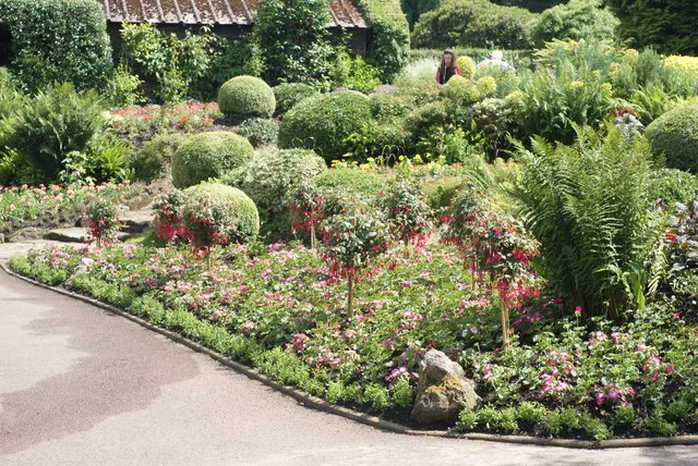
Maryon Park
Maryon Park — park located in Charlton in the Royal Borough of Greenwich.

Wikimedia Commons contributors — see linked file page for photographer and licence licence
Plan your visit
- Typical visit
- 1.5 h–3 h
- Nearest railway station
- Woolwich Dockyard · 0.9 km
- Free entry
- Family-friendly
- Dog-friendly
About
Maryon Park is a country park in the United Kingdom. Managed by Greenwich London Borough Council. Wikidata describes it as: "park located in Charlton in the Royal Borough of Greenwich". Coordinates: 51.4890°, 0.0430°.
Photo gallery
Protected designations
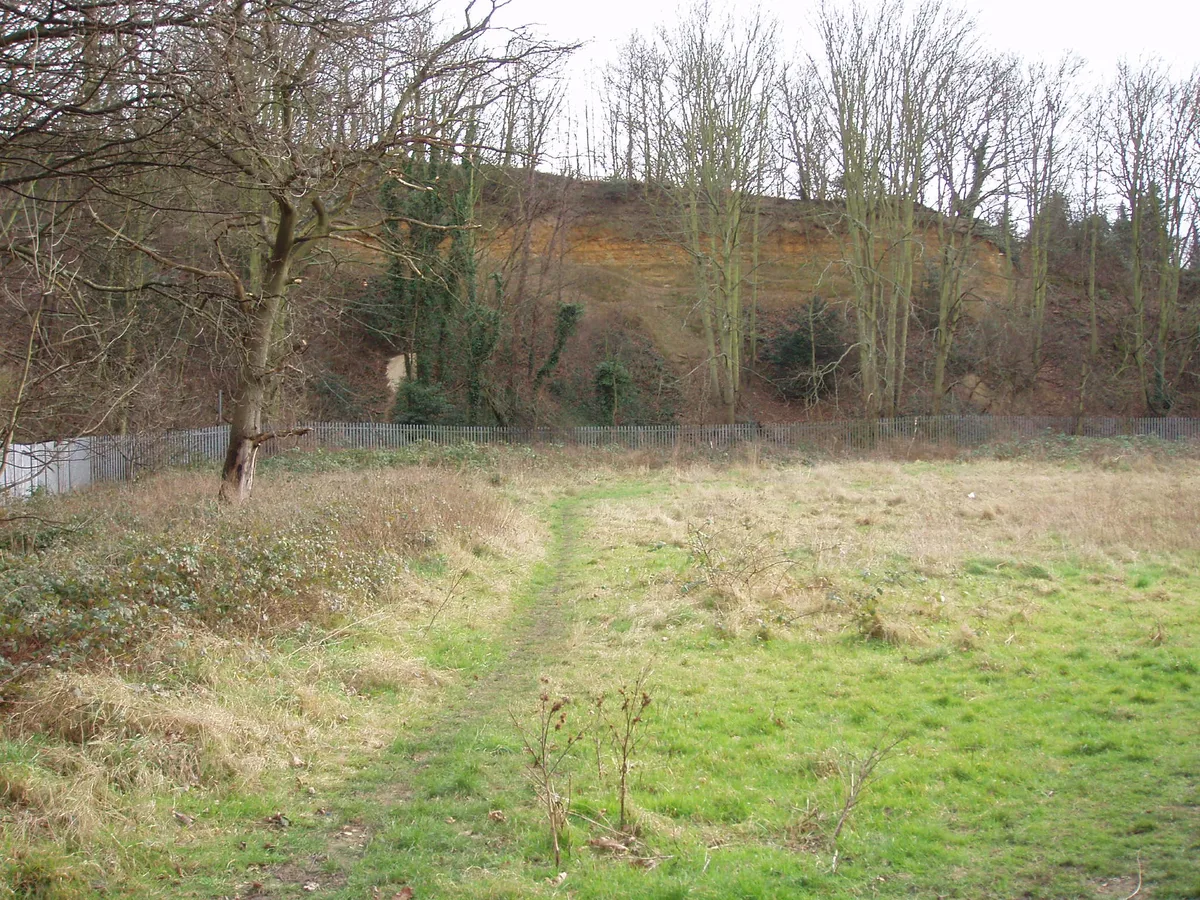
- Site of Special Scientific Interest: Gilbert's Pit (Charlton) SSSI
Designations sourced from Natural England open data under OGL v3.
From the Wikipedia article
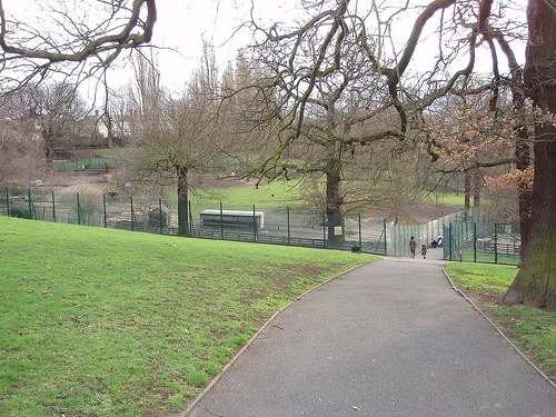
Maryon Park is an urban public park located in Charlton in the Royal Borough of Greenwich, London, United Kingdom. It is situated on the A206 road south of the Thames Barrier, and is accessible from Woolwich Road, Charlton Lane and Thorntree Road. It is part of the Maryon Wilson Park and Gilbert's Pit Local Nature Reserve.
Excerpt from Wikipedia under CC BY-SA 4.0. See the source article linked in Sources below.
Background
History
Charlton sandpits, which were originally part of an area known as Hanging Wood, were presented to the London County Council in 1891 by the Maryon-Wilson family, and one of the pits became Maryon Park. Another pit became Charlton Athletic's football stadium, The Valley. The park was originally wooded and, together with what is now Maryon Wilson Park, was known as Hanging Woods. This was a wild wooded area and formed an ideal retreat for highwaymen who robbed travellers on Shooters Hill and Blackheath. Though it is popularly supposed that the wood was used for hanging those who were caught, a more likely explanation for the name is the wood's location on steep slopes so that the trees appear…
Description
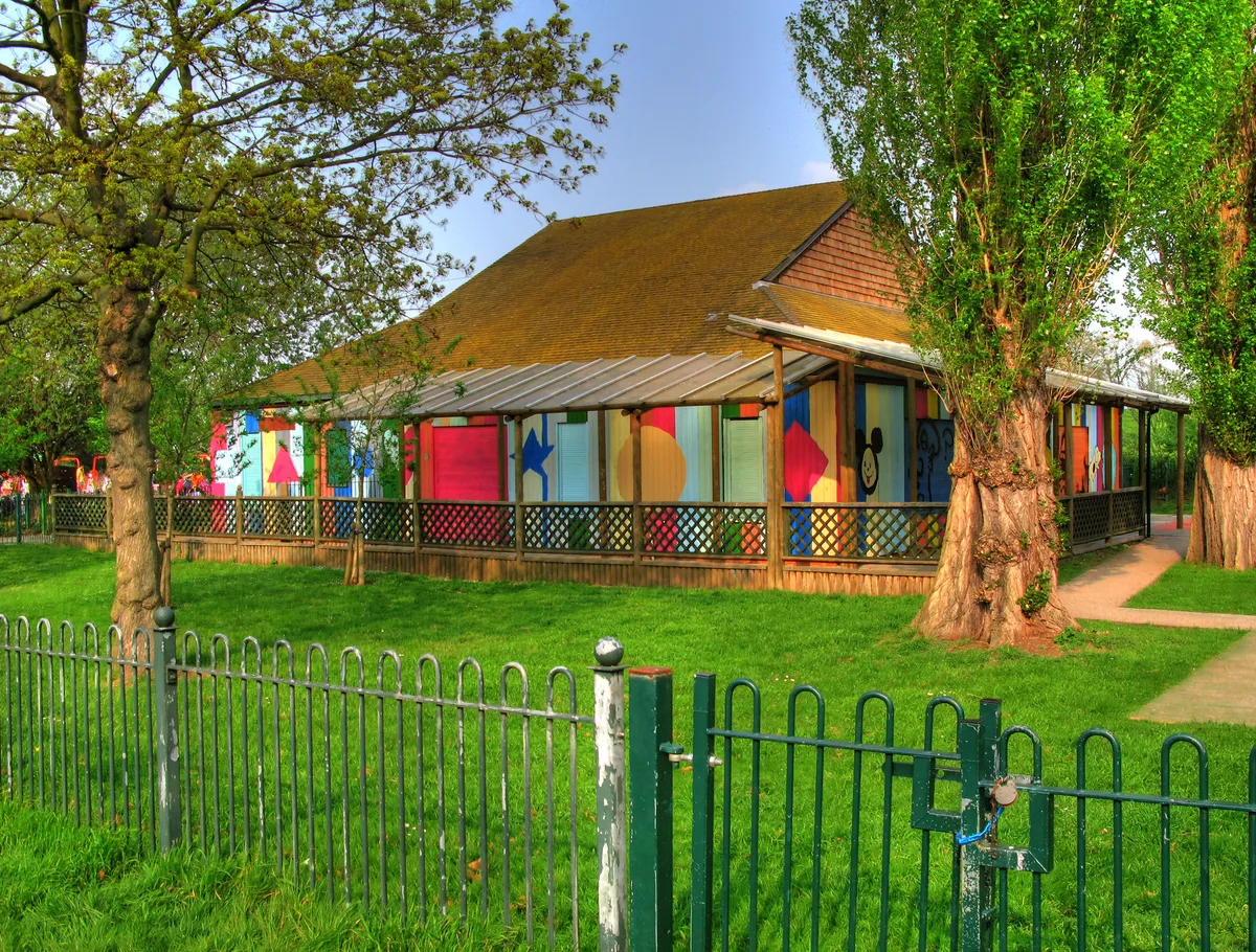
The park includes Cox's Mount, which was used by the Romans as a hill fort, which was discovered in 1915. In the 1850s, Cox's Mount was used to help ships on the River Thames adjust their compasses. The park has hard tennis courts, a basketball court and a children's play area. The Capital Ring walk and Green Chain trails both pass through the park.
Sourced from Wikipedia under CC BY-SA 4.0.
- Coordinates
- 51.4890, 0.0430
- District
- Greenwich
- Parish
- Greenwich, unparished area
- Postcode
- SE7 8HB
- Parliamentary constituency
- Greenwich and Woolwich
- Nearest railway station
- Woolwich Dockyard — 0.9 km
- Opening
- | website = [http://www.royalgreenwich.gov.uk/directory_record/3777/maryon_park "Marion Park"] (descriptive page on Maryon Park at [http://www.greenwich.gov.uk greenwich.gov.uk], the Greenwich London Borough Council's official website)
- Official site
- www.royalgreenwich.gov.uk
Sources
- wikidata: Q6781672 (CC0)
- wikipedia: Maryon Park (CC BY-SA 4.0)
- commons: Maryon Park, Charlton, South East London.jpg (CC BY-SA 4.0)
Other places nearby
Loading nearby places…
Nearby
.jpg?width=1200) 📷 5
📷 5Forests & woodlands · London
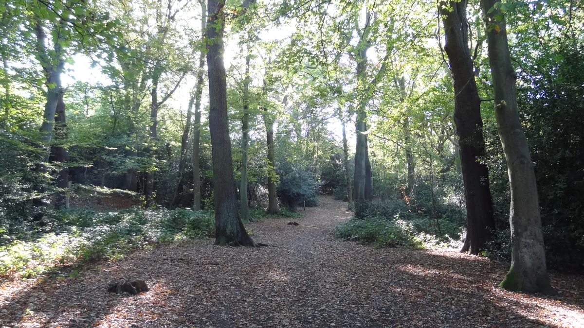
Gilbert's Pit
Gilbert's Pit is a forest or woodland in the United Kingdom.
 📷 5
📷 5Wildlife reserves · London
Gilbert's Pit
Gilbert's Pit — nature reserve in Charlton, London, England.
 📷 5
📷 5Ironworks & forges · London
Holborn College
Holborn College — former educational institution in London, England.
 📷 5
📷 5Country parks · London
Maryon Wilson Park
Maryon Wilson Park — park in Greenwich, England.
 📷 5
📷 5Chapels · London
New Charlton
New Charlton — a methodist chapel in england-london, United Kingdom.
 📷 5
📷 5Stadiums · London
The Valley
The Valley — football stadium in London, home to Charlton Athletic FC.
More places run by Greenwich London Borough Council
More places in this region
 Flagship📷 10
Country parks · London
Brockwell Park
Brockwell Park — park in south London, England, UK.
 Flagship📷 10
Country parks · London
Clissold Park
Clissold Park — park in Stoke Newington, London.
 Flagship📷 10
Country parks · London
Coombe Wood
Coombe Wood — woodland and garden area in the London Borough of Croydon.
 Flagship📷 10
Country parks · London
Croham Hurst
Croham Hurst — woodland in Croydon, Greater London, England, United Kingdom.
Frequently asked questions
- Where is Maryon Park?
- Maryon Park is in London, United Kingdom (postcode SE7 8HB), in the parish of Greenwich, unparished area.
- Who runs Maryon Park?
- Maryon Park is operated by Greenwich London Borough Council.
- Is Maryon Park a protected site?
- Yes — Maryon Park is part of the Gilbert's Pit (Charlton) SSSI Site of Special Scientific Interest.
- Is Maryon Park free to visit?
- Yes, Maryon Park is free to enter.
- How do I get to Maryon Park?
- The nearest railway station is Woolwich Dockyard, about 0.9 km away. Drivers can navigate to postcode SE7 8HB.