Forests & woodlands · London
Gilbert's Pit
Gilbert's Pit is a forest or woodland in the United Kingdom.
.jpg?width=1200)
Wikimedia Commons contributors — see linked file page for photographer and licence licence
.jpg)
Plan your visit
- Typical visit
- 1 h–3 h
- Nearest railway station
- Charlton · 0.8 km
- Free entry
- Family-friendly
- Dog-friendly
About
Gilbert's Pit is a named forest, woodland or nature reserve in the United Kingdom. Coordinates: 51.4891°, 0.0419°. This entry is part of The Great Britain Guide, a free, ad-free, open-data tourist directory.
Photo gallery
Protected designations
- Site of Special Scientific Interest: Gilbert's Pit (Charlton) SSSI
Designations sourced from Natural England open data under OGL v3.
From the Wikipedia article
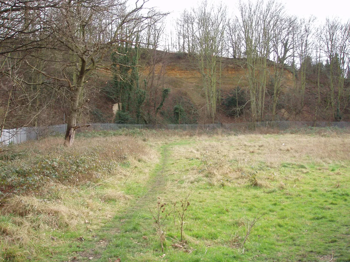
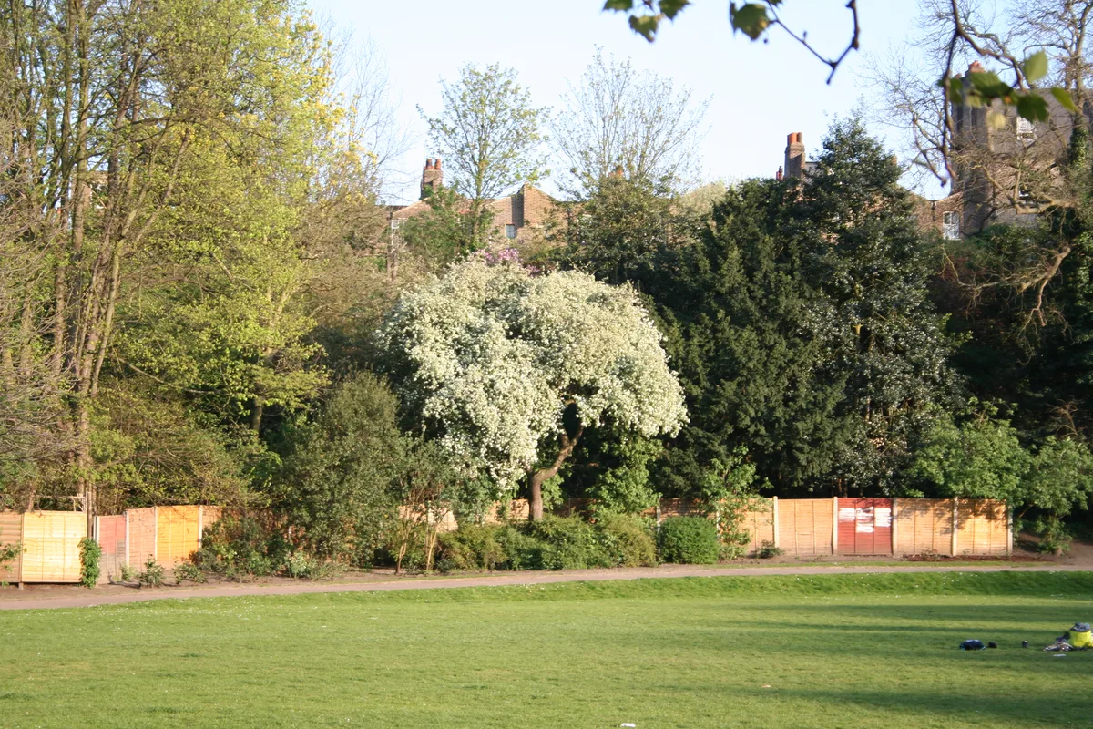
Gilbert's Pit is a 5.2-hectare (13-acre) geological Site of Special Scientific Interest in Charlton in the Royal Borough of Greenwich. It was notified in 1985 and was formerly known as Charlton Sand Pit. It is a Geological Conservation Review site. It is also part of the Maryon Wilson Park and Gilbert's Pit Local Nature Reserve. It adjoins Maryon Park and is close to Maryon Wilson Park.
Excerpt from Wikipedia under CC BY-SA 4.0. See the source article linked in Sources below.
Background
History
There was a Romano-British settlement on Cox's Mount, the summit of Gilbert's Pit, between the first and fifth centuries. The area was part of the ancient Hanging Wood. The Pit was part of the estate of the Maryon-Wilson family. From the late eighteenth century to 1889 it was worked for sand, and it was named after one of the managers, Mr E. Gilbert. It was purchased by the London County Council in 1930.
Visiting
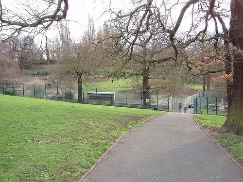
Much of the site is fenced off. There is access to the part which is open from Charlton Lane and a path from the Gilbert's Pit information board in Maryon Park leads up to Cox's Mount, which has fine views over London.
Sourced from Wikipedia under CC BY-SA 4.0.
- Coordinates
- 51.4891, 0.0419
- District
- Greenwich
- Parish
- Greenwich, unparished area
- Postcode
- SE7 8LE
- Parliamentary constituency
- Greenwich and Woolwich
- Nearest railway station
- Charlton — 0.8 km
Sources
- osm: w1158428058 (ODbL)
- wikipedia: Gilbert's Pit (CC BY-SA 4.0)
- commons: Gilberts Pit, London Borough of Greenwich, SE7 (2252315297).jpg (CC BY-SA 4.0)
Other places nearby
Loading nearby places…
Nearby
 📷 5
📷 5Wildlife reserves · London
Gilbert's Pit
Gilbert's Pit — nature reserve in Charlton, London, England.
 📷 5
📷 5Country parks · London
Maryon Park
Maryon Park — park located in Charlton in the Royal Borough of Greenwich.
 📷 5
📷 5Ironworks & forges · London
Holborn College
Holborn College — former educational institution in London, England.
 📷 5
📷 5Chapels · London
New Charlton
New Charlton — a methodist chapel in england-london, United Kingdom.
 📷 5
📷 5Stadiums · London
The Valley
The Valley — football stadium in London, home to Charlton Athletic FC.
 📷 5
📷 5Country parks · London
Maryon Wilson Park
Maryon Wilson Park — park in Greenwich, England.
More forests in this region
 📷 5
📷 5Forests & woodlands · London
Ackroyd Drive Green Link
Ackroyd Drive Green Link is a forest or woodland in the United Kingdom.
 📷 5
📷 5Forests & woodlands · London
Adams Road Bird Sanctuary
Adams Road Bird Sanctuary is a forest or woodland in the United Kingdom.
 📷 5
📷 5Forests & woodlands · London
Adelaide Nature Reserve
Adelaide Nature Reserve is a forest or woodland in the United Kingdom.
 📷 5
📷 5Forests & woodlands · London
Angel's Wings
Angel's Wings — Public artwork by Thomas Heatherwick.
Frequently asked questions
- Where is Gilbert's Pit?
- Gilbert's Pit is in London, United Kingdom (postcode SE7 8LE), in the parish of Greenwich, unparished area.
- Is Gilbert's Pit a protected site?
- Yes — Gilbert's Pit is part of the Gilbert's Pit (Charlton) SSSI Site of Special Scientific Interest.
- Is Gilbert's Pit free to visit?
- Yes, Gilbert's Pit is free to enter.
- How do I get to Gilbert's Pit?
- The nearest railway station is Charlton, about 0.8 km away. Drivers can navigate to postcode SE7 8LE.