Natural landmarks · North West England
Loughrigg Tarn
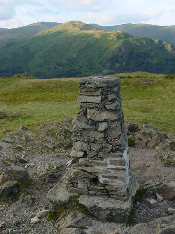
Loughrigg Tarn — lake in the Lake District, Cumbria, England.

Wikimedia Commons contributors — see linked file page for photographer and licence licence
Plan your visit
- Typical visit
- 1 h–2 h
- Nearest railway station
- Windermere · 9.0 km
- Free entry
- Dog-friendly
About
Loughrigg Tarn is a named natural landmark in the United Kingdom. Wikidata describes it as: "lake in the Lake District, Cumbria, England". Coordinates: 54.4306°, -3.0117°.
Photo gallery
Protected designations
- Site of Special Scientific Interest: River Eden and Tributaries SSSI
Designations sourced from Natural England open data under OGL v3.
From the Wikipedia article
Loughrigg Tarn () is a small, natural lake in the Lake District, Cumbria, England. It is situated north of Windermere, just north of the village of Skelwith Bridge, and at the foot of Loughrigg Fell. "Loughrigg Tarn" is a bit of a tautology, since "loughrigg" means "ridge of the lough (lake)" and "tarn" is also the name of a body of water.
Excerpt from Wikipedia under CC BY-SA 4.0. See the source article linked in Sources below.
Background
Description
Loughrigg Tarn was a favoured place of William Wordsworth, who, in his Epistle to Sir George Howland Beaumont Bart, likened it to “Diana’s Looking-glass... round, clear and bright as heaven," in reference to Lake Nemi, the mirror of Diana in Rome. Alfred Wainwright notes that Loughrigg Tarn is "one of the most secluded of tarns", rarely being visible from the fells. He also identifies that Loughrigg Fell is the only Lake District fell to share its name with a tarn, although he might have overlooked Scoat Fell (Scoat Tarn) and Bowscale Fell (Bowscale Tarn). {| | ]] | seen in the distance across Loughrigg Tarn]] |}
Sourced from Wikipedia under CC BY-SA 4.0.
- Coordinates
- 54.4306, -3.0117
- District
- Westmorland and Furness
- Parish
- Lakes
- Postcode
- LA22 9HQ
- Parliamentary constituency
- Westmorland and Lonsdale
- Nearest railway station
- Windermere — 9 km
Sources
- wikidata: Q1646483 (CC0)
- wikipedia: Loughrigg Tarn (CC BY-SA 4.0)
- commons: Loughrigg Tarn - Oct 2009.jpg (CC BY-SA 4.0)
Other places nearby
Loading nearby places…
Nearby
Campsites · North West England
Tarn Foot Farm Campsite
Tarn Foot Farm Campsite — a campsite in england north west.
 📷 3
📷 3Mountains & hills · North West England
Todd Crag
Todd Crag — a mountain in england-north-west, United Kingdom, 224 m.
 📷 3
📷 3Mountains & hills · North West England
Loughrigg Fell
Loughrigg Fell — Named summit at 335.1 m.
 📷 3
📷 3Natural landmarks · North West England
Elter Water
Elter Water — lake in the United Kingdom.
 📷 3
📷 3Historic bridges · North West England
Skelwith Bridge (That Part Within Lakes District)
Skelwith Bridge (That Part Within Lakes District) — Grade II listed building-listed bridge in england-north-west, United Kingdom.
Hostels · North West England
YHA Langdale
YHA Langdale — a hostel in england north west. Brand: Youth Hostels Association.
More natural landmarks in this region
 ★ Iconic📷 4
Natural landmarks · North West England
Coniston Water
Lake District lake — Swallows and Amazons setting and Donald Campbell water-speed history.
📷 3Natural landmarks · North West England
Elter Water
Elter Water — lake in the United Kingdom.
 📷 3
📷 3Natural landmarks · North West England
Esthwaite Water
Esthwaite Water — lake in the United Kingdom.
 Flagship📷 5
Natural landmarks · North West England
Semerwater
Semerwater — lake in North Yorkshire, England, UK.
Frequently asked questions
- Where is Loughrigg Tarn?
- Loughrigg Tarn is in North-West England, United Kingdom (postcode LA22 9HQ), in the parish of Lakes.
- Is Loughrigg Tarn a protected site?
- Yes — Loughrigg Tarn is part of the River Eden and Tributaries SSSI Site of Special Scientific Interest.
- Is Loughrigg Tarn free to visit?
- Yes, Loughrigg Tarn is free to enter.
- How do I get to Loughrigg Tarn?
- Drivers can navigate to postcode LA22 9HQ. It sits within the Westmorland and Lonsdale parliamentary constituency.