Mountains & hills · Scottish Lowlands
Long Side
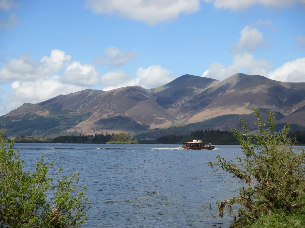
Long Side — Named summit at 734 m.

Wikimedia Commons contributors — see linked file page for photographer and licence licence
Plan your visit
- Typical visit
- 3 h–8 h
- Best time of year
- Late spring – early autumn (May–Oct)
- Nearest railway station
- Threlkeld Quarry Station · 8.7 km
- Free entry
- Dog-friendly
About
Long Side is a named summit in the United Kingdom. Wikidata describes it as: "Named summit at 734 m.". Coordinates: 54.6455°, -3.1655°.
Photo gallery
Protected designations
- Site of Special Scientific Interest: Skiddaw Group SSSI
- Site of Special Scientific Interest: River Derwent and Tributaries SSSI
Designations sourced from Natural England open data under OGL v3.
From the Wikipedia article
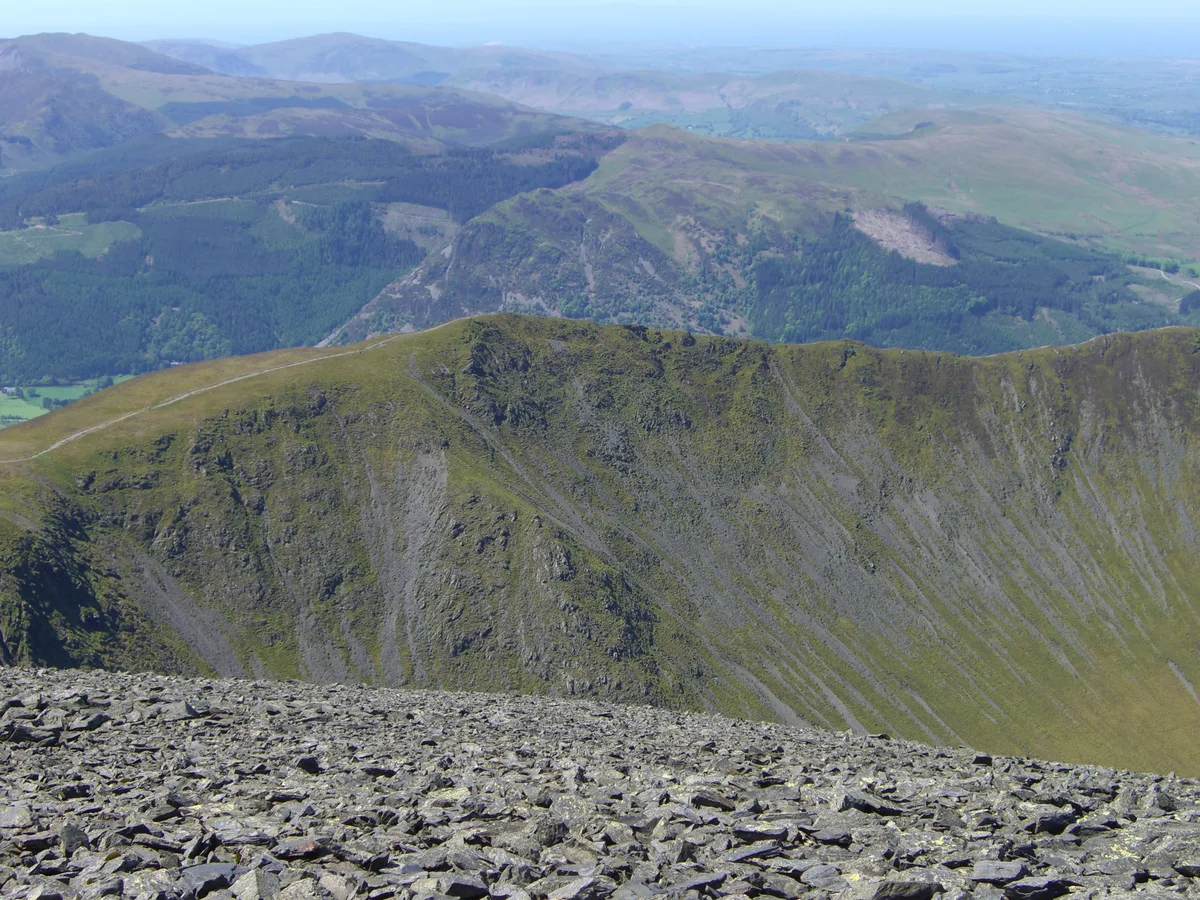
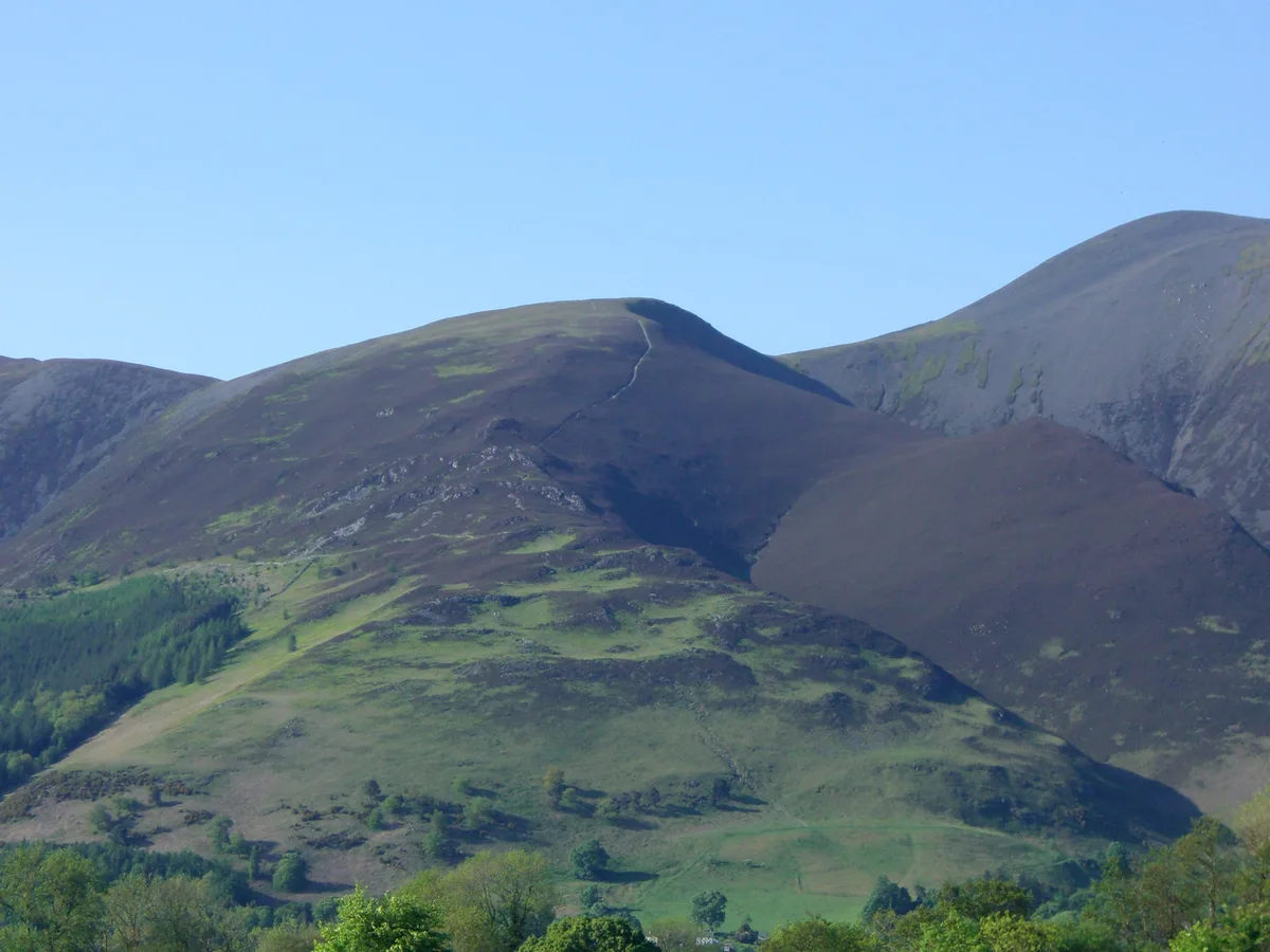
Long Side is a fell in the English Lake District, it is situated six kilometres north west of Keswick in the northern sector of the national park and is part of the Skiddaw group of fells. Long Side which reaches a height of 734 metres (2,408 ft) is located on Skiddaw’s north western ridge, the middle section of which is known as Longside Edge. Strictly speaking the actual summit of the fell is nameless with the name Long Side applying to the south western slope below the summit and is so marked on maps. The fell is often climbed by walkers on their way to the summit of Skiddaw, the route up the north west ridge which passes over Long Side is regarded as being the finest and quietest ascent of that 3,000-foot (910 m) mountain by guide book writers.
Excerpt from Wikipedia under CC BY-SA 4.0. See the source article linked in Sources below.
- Coordinates
- 54.6455, -3.1655
- District
- Cumberland
- Parish
- Bassenthwaite
- Postcode
- CA12 4QE
- Parliamentary constituency
- Penrith and Solway
- Nearest railway station
- Threlkeld Quarry Station — 8.7 km
Sources
- osm: n29951971 (ODbL)
- wikipedia: Long Side (CC BY-SA 4.0)
- commons: Long Side from Skiddaw 1.jpg (CC BY-SA 4.0)
Other places nearby
Loading nearby places…
Nearby
 📷 3
📷 3Natural landmarks · Scottish Lowlands
Long Side
Long Side — mountain in United Kingdom.
 📷 3
📷 3Mountains & hills · Scottish Lowlands
Ullock Pike
Ullock Pike — Named summit at 690.4 m.
 📷 3
📷 3Mountains & hills · Scottish Lowlands
Carl Side
Carl Side — Named summit at 746.8 m.
 📷 3
📷 3Mountains & hills · Scottish Lowlands
Dodd
Dodd — Named summit at 502 m.
 📷 3
📷 3Natural landmarks · Scottish Lowlands
Dodd
Dodd — mountain in United Kingdom.
 📷 5
📷 5Natural landmarks · Scottish Lowlands
Skiddaw
Skiddaw — mountain in Cumbria, England, United Kingdom.
More mountains in this region
 📷 3
📷 3Mountains & hills · Scottish Lowlands
Andrewhinney Hill
Andrewhinney Hill — Named summit at 677 m.
 📷 3
📷 3Mountains & hills · Scottish Lowlands
Arbory Hill
Arbory Hill — Named summit at 429 m.
 📷 3
📷 3Mountains & hills · Scottish Lowlands
Auchenton Hill ( East Mount Lowther)
Auchenton Hill ( East Mount Lowther) — Named summit at 631 m.
 📷 3
📷 3Mountains & hills · Scottish Lowlands
Bakestall
Bakestall — Named summit at 673.5 m.
Frequently asked questions
- Where is Long Side?
- Long Side is in the Scottish Lowlands, United Kingdom (postcode CA12 4QE), in the parish of Bassenthwaite.
- Is Long Side a protected site?
- Yes — Long Side is part of the Skiddaw Group SSSI Site of Special Scientific Interest and the River Derwent and Tributaries SSSI Site of Special Scientific Interest.
- Is Long Side free to visit?
- Yes, Long Side is free to enter.
- How do I get to Long Side?
- Drivers can navigate to postcode CA12 4QE. It sits within the Penrith and Solway parliamentary constituency.