Natural landmarks · Scottish Lowlands
Skiddaw
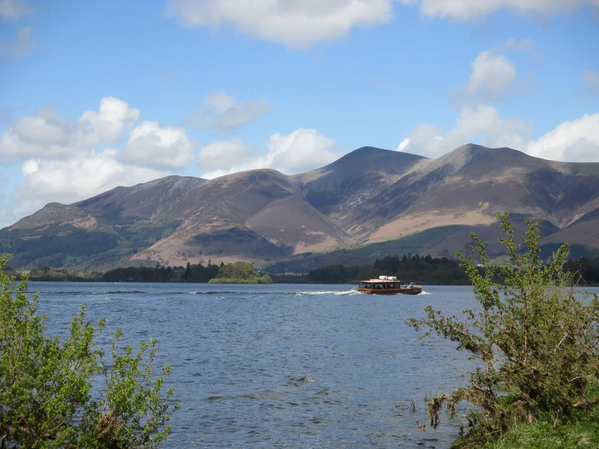
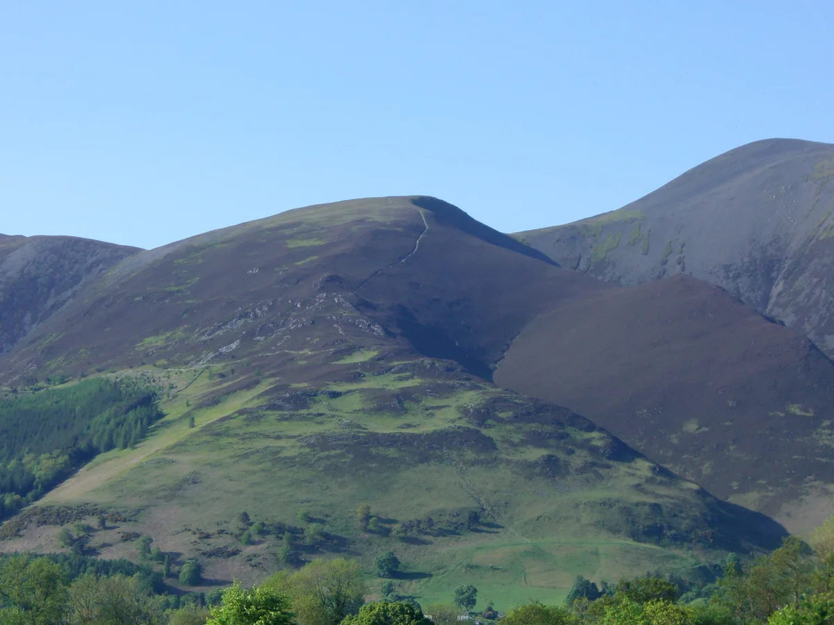
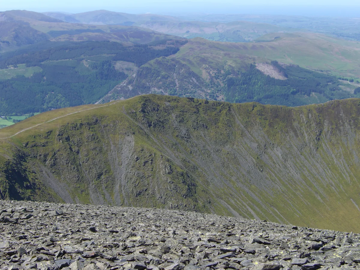
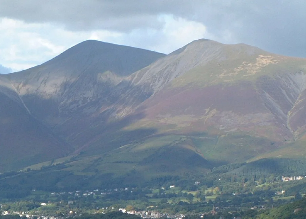
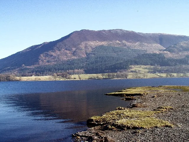
Skiddaw — mountain in Cumbria, England, United Kingdom.

Wikimedia Commons contributors — see linked file page for photographer and licence licence
Plan your visit
- Typical visit
- 1 h–2 h
- Nearest railway station
- Threlkeld Quarry Station · 8.0 km
- Free entry
- Dog-friendly
About
Skiddaw is a named natural landmark in the United Kingdom. Wikidata describes it as: "mountain in Cumbria, England, United Kingdom". Coordinates: 54.6514°, -3.1478°.
Photo gallery
Protected designations
- Site of Special Scientific Interest: Skiddaw Group SSSI
- Site of Special Scientific Interest: River Derwent and Tributaries SSSI
Designations sourced from Natural England open data under OGL v3.
From the Wikipedia article
Skiddaw is a mountain in the Lake District National Park in England. Its 931-metre (3,054 ft) summit is traditionally considered to be the fourth-highest peak but depending on what topographic prominence is thought to be significant is also variously ranked as the third- and the sixth-highest in England. It lies just north of the town of Keswick, Cumbria, in the historic county of Cumberland and dominates the skyline in this part of the northern lakes. It is the simplest of the Lake District mountains of this height to ascend (as there is a well-trodden tourist track from a car park to the north-east of Keswick, near the summit of Latrigg) and, as such, many walking guides recommend it to the occasional walker wishing to climb a mountain. This is the first summit of the fell running challenge known as the Bob Graham Round when undertaken in a clockwise direction. The mountain lends its name to the surrounding areas of Skiddaw Forest and Back o' Skidda, and to the isolated Skiddaw House, situated to the east, formerly a shooting lodge and subsequently a youth hostel. It also provides the name for the slate derived from that region: Skiddaw slate. Skiddaw slate has been used to make tuned percussion musical instruments or lithophones, such as the Musical Stones of Skiddaw held at the Keswick Museum and Art Gallery.
Excerpt from Wikipedia under CC BY-SA 4.0. See the source article linked in Sources below.
- Coordinates
- 54.6514, -3.1478
- Nearest railway station
- Threlkeld Quarry Station — 8 km
Sources
- wikidata: Q2292191 (CC0)
- wikipedia: Skiddaw (CC BY-SA 4.0)
- commons: Skiddaw.JPG (CC BY-SA 4.0)
Other places nearby
Loading nearby places…
Nearby
 📷 5
📷 5Mountains & hills · Scottish Lowlands
Skiddaw
Skiddaw — Named summit at 930.4 m.
 📷 3
📷 3Mountains & hills · Scottish Lowlands
Carl Side
Carl Side — Named summit at 746.8 m.
 📷 3
📷 3Mountains & hills · Scottish Lowlands
Long Side
Long Side — Named summit at 734 m.
 📷 3
📷 3Natural landmarks · Scottish Lowlands
Long Side
Long Side — mountain in United Kingdom.
 📷 4
📷 4Mountains & hills · Scottish Lowlands
Skiddaw Little Man
Skiddaw Little Man — Named summit at 865 m.
 📷 4
📷 4Natural landmarks · Scottish Lowlands
Skiddaw Little Man
Skiddaw Little Man — mountain in United Kingdom.
More natural landmarks in this region
 Flagship📷 3
Natural landmarks · Scottish Lowlands
Bassenthwaite Lake
Bassenthwaite Lake — lake in Cumbria, England, UK.
 Flagship📷 3
Natural landmarks · Scottish Lowlands
Loch Enoch
Loch Enoch — lake in Dumfries and Galloway, Scotland, UK.
 📷 5
📷 5Natural landmarks · Scottish Lowlands
Annandale Water
Annandale Water — lake in Dumfries and Galloway, Scotland, UK.
 📷 3
📷 3Natural landmarks · Scottish Lowlands
Bakestall
Bakestall — mountain in United Kingdom.
Frequently asked questions
- Where is Skiddaw?
- Skiddaw is in the Scottish Lowlands, United Kingdom.
- Is Skiddaw a protected site?
- Yes — Skiddaw is part of the Skiddaw Group SSSI Site of Special Scientific Interest and the River Derwent and Tributaries SSSI Site of Special Scientific Interest.
- Is Skiddaw free to visit?
- Yes, Skiddaw is free to enter.