Parks · London
Littleheath Woods
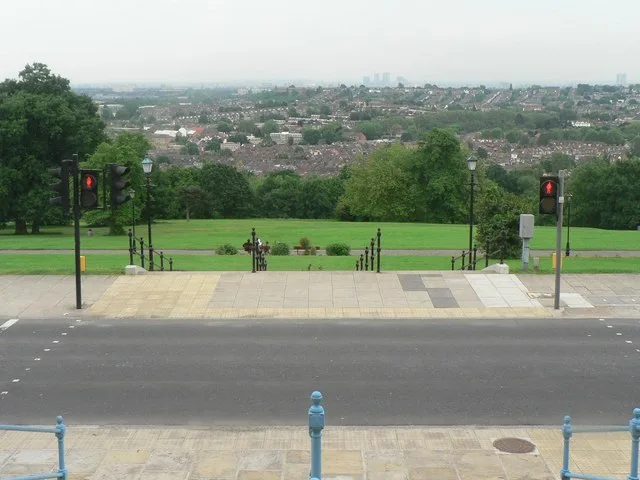
Littleheath Woods is a park in the United Kingdom.

Wikimedia Commons contributors — see linked file page for photographer and licence licence
Plan your visit
- Typical visit
- 1 h–2 h
- Nearest railway station
- Sanderstead · 2.3 km
- Free entry
- Family-friendly
- Dog-friendly
About
Littleheath Woods is a public park in the United Kingdom. It covers approximately 64 km². Coordinates: 51.3493°, -0.0606°. This entry is part of The Great Britain Guide, a free, ad-free, open-data tourist directory.
Photo gallery
From the Wikipedia article
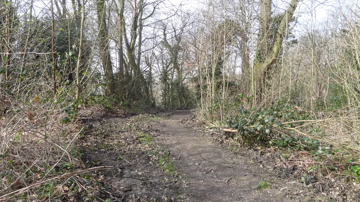
Littleheath Woods is the collective name for Littleheath Wood, Foxearth Woods, part of Queenhill Shaw and part of Gee Wood in Selsdon in the London Borough of Croydon. It is a Site of Borough Importance for Nature Conservation, Grade I, with an area of 64 acres (26 ha). It is owned by Croydon Council and the Friends of Littleheath Woods assist with the management. The woods were saved from housing development of the area in the late 1920’s thanks to the campaigning and fundraising efforts of The Selsdon Resident Association and in particular local conservation hero Malcolm Sharpe. The Woods opened to the public in 1932. The woods have tall oaks above a layer of sweet chestnut, rowan and birch, and there are several areas of grassland. Plants include wood anemone, bluebell and greater stitchwort and at the southern end there is a small pond with amphibious bistort and brooklime. In the north there is acid grassland. There is access from neighbouring roads including Croham Valley Road, Littleheath Road, Edgecoombe and Foxearth Road. The wood was once used for shooting and a pheasantry was established on part of the land. Much of the low-level planting was established to provide cover for the game-birds. The soil (soft sand) is of a type suitable for badgers and there are active setts within the woodland.
Excerpt from Wikipedia under CC BY-SA 4.0. See the source article linked in Sources below.
- Coordinates
- 51.3493, -0.0606
- District
- Croydon
- Parish
- Croydon, unparished area
- Postcode
- CR2 8EP
- Parliamentary constituency
- Croydon East
- Nearest railway station
- Sanderstead — 2.3 km
Sources
- wikidata: Q15242515 (CC0)
- wikipedia: Littleheath Woods (CC BY-SA 4.0)
- commons: Littleheath Woods 2.JPG (CC BY-SA 4.0)
Other places nearby
Loading nearby places…
Nearby
 📷 5
📷 5Forests & woodlands · London
Littleheath Woods
Littleheath Woods is a forest or woodland in the United Kingdom.
 Flagship📷 10
Wildlife reserves · London
Bramley Bank
Bramley Bank — Nature reserve in Upper Shirley.
 📷 5
📷 5Forests & woodlands · London
Bramley Bank
Bramley Bank is a forest or woodland in the United Kingdom.
 📷 5
📷 5Chapels · London
Selsdon
Selsdon — a methodist chapel in england-london, United Kingdom.
 📷 5
📷 5Gardens · London
Heathfield
Heathfield — a garden in england-london, United Kingdom.
 📷 5
📷 5Natural landmarks · London
Royal Russell School
Royal Russell School — a school heritage in england-london, United Kingdom.
More parks in this region
 Flagship📷 10
Parks · London
Addington Hills
Addington Hills — park in the United Kingdom.
 📷 10
📷 10Parks · London
Addington Park
Addington Park — park in the United Kingdom.
 Flagship📷 10
Parks · London
Addiscombe Railway Park
Addiscombe Railway Park — park in London Borough of Croydon, United Kingdom.
 Flagship📷 10
Parks · London
Alexandra Park
Alexandra Park — park in the London Borough of Haringey.
Frequently asked questions
- Where is Littleheath Woods?
- Littleheath Woods is in London, United Kingdom (postcode CR2 8EP), in the parish of Croydon, unparished area.
- Is Littleheath Woods free to visit?
- Yes, Littleheath Woods is free to enter.
- How do I get to Littleheath Woods?
- The nearest railway station is Sanderstead, about 2.3 km away. Drivers can navigate to postcode CR2 8EP.