Forests & woodlands · London
Bramley Bank
Bramley Bank is a forest or woodland in the United Kingdom.

Wikimedia Commons contributors — see linked file page for photographer and licence licence
Plan your visit
- Typical visit
- 1 h–3 h
- Nearest railway station
- Sanderstead · 2.5 km
- Free entry
- Family-friendly
- Dog-friendly
About
Bramley Bank is a named forest, woodland or nature reserve in the United Kingdom. Coordinates: 51.3545°, -0.0582°. This entry is part of The Great Britain Guide, a free, ad-free, open-data tourist directory.
Photo gallery
From the Wikipedia article
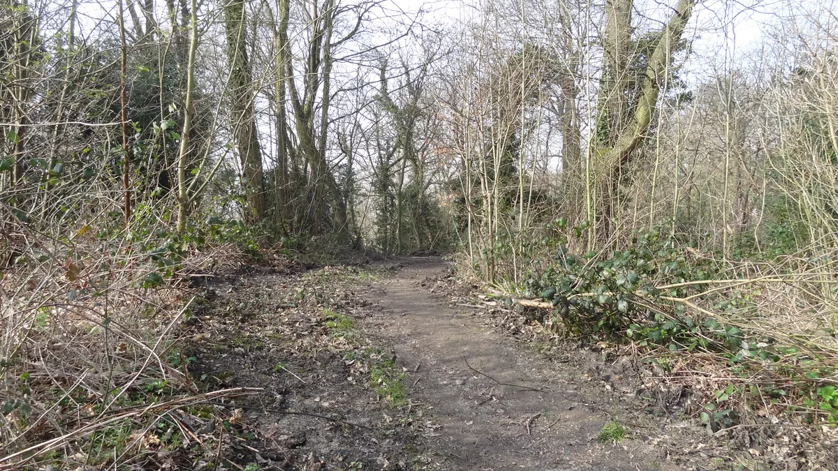
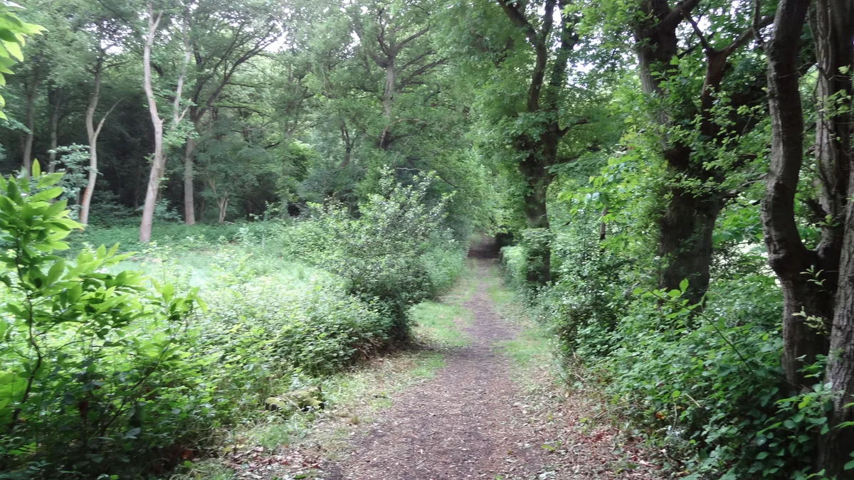
Bramley Bank is a 10.3 hectare local nature reserve in Upper Shirley in the London Borough of Croydon. It is owned by Croydon Council and managed by London Wildlife Trust. The site has acid grassland, woodland and a pond. Flowers include common violets and enchanter's nightshade, and there are displays of bluebells in the spring. The woodland is mainly oak, ash and sycamore. The margin of the pond has yellow flag and flote grass. Wildlife includes nuthatches, song thrushes, purple hairstreak butterflies, yellow meadow ants and pipistrelle bats. There is access from Riesco Drive and Broadcombe.
Excerpt from Wikipedia under CC BY-SA 4.0. See the source article linked in Sources below.
- Coordinates
- 51.3545, -0.0582
- District
- Croydon
- Parish
- Croydon, unparished area
- Postcode
- CR2 7LJ
- Parliamentary constituency
- Croydon East
- Nearest railway station
- Sanderstead — 2.5 km
- Official site
- www.wildlondon.org.uk
Sources
- osm: w169137576 (ODbL)
- wikipedia: Bramley Bank (CC BY-SA 4.0)
- commons: Bramley Bank 1.JPG (CC BY-SA 4.0)
Other places nearby
Loading nearby places…
Nearby
 Flagship📷 10
Wildlife reserves · London
Bramley Bank
Bramley Bank — Nature reserve in Upper Shirley.
 📷 5
📷 5Gardens · London
Heathfield
Heathfield — a garden in england-london, United Kingdom.
 Flagship📷 10
Parks · London
Littleheath Woods
Littleheath Woods is a park in the United Kingdom.
 📷 5
📷 5Forests & woodlands · London
Littleheath Woods
Littleheath Woods is a forest or woodland in the United Kingdom.
 📷 5
📷 5Natural landmarks · London
Royal Russell School
Royal Russell School — a school heritage in england-london, United Kingdom.
 Flagship📷 10
Parks · London
Addington Hills
Addington Hills — park in the United Kingdom.
More forests in this region
 📷 5
📷 5Forests & woodlands · London
Ackroyd Drive Green Link
Ackroyd Drive Green Link is a forest or woodland in the United Kingdom.
 📷 5
📷 5Forests & woodlands · London
Adams Road Bird Sanctuary
Adams Road Bird Sanctuary is a forest or woodland in the United Kingdom.
 📷 5
📷 5Forests & woodlands · London
Adelaide Nature Reserve
Adelaide Nature Reserve is a forest or woodland in the United Kingdom.
 📷 5
📷 5Forests & woodlands · London
Angel's Wings
Angel's Wings — Public artwork by Thomas Heatherwick.
Frequently asked questions
- Where is Bramley Bank?
- Bramley Bank is in London, United Kingdom (postcode CR2 7LJ), in the parish of Croydon, unparished area.
- Is Bramley Bank free to visit?
- Yes, Bramley Bank is free to enter.
- How do I get to Bramley Bank?
- The nearest railway station is Sanderstead, about 2.5 km away. Drivers can navigate to postcode CR2 7LJ.