Parks · London
Lincoln's Inn Fields
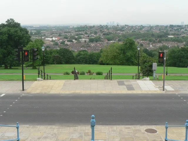
Lincoln's Inn Fields — public square in London, England, UK.

Wikimedia Commons contributors — see linked file page for photographer and licence licence
Plan your visit
- Typical visit
- 1 h–2 h
- Nearest railway station
- Holborn · 0.3 km
- Free entry
- Family-friendly
- Dog-friendly
About
Lincoln's Inn Fields is a public park in the United Kingdom. It covers approximately 3 km². Heritage designation: Grade II listed park and garden. Wikidata describes it as: "public square in London, England, UK". Coordinates: 51.5161°, -0.1166°.
Photo gallery
From the Wikipedia article
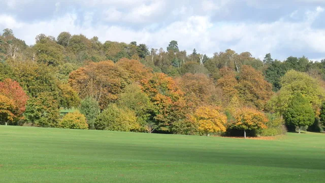
Lincoln's Inn Fields is located in Holborn and is the largest public square in London. It was laid out in the 1630s under the initiative of the speculative builder and contractor William Newton, "the first in a long series of entrepreneurs who took a hand in developing London", as Sir Nikolaus Pevsner observes. The original plan for "laying out and planting" these fields, drawn by the hand of Inigo Jones, was said still to be seen in Lord Pembroke's collection at Wilton House in the 19th century, but its location is now unknown. The West End grounds, which had remained private property, were acquired by London County Council in 1895 and opened to the public by its chairman, Sir John Hutton, the same year. The square is today managed by the London Borough of Camden and forms part of the southern boundary of that borough with the City of Westminster. It is grade II listed on the Register of Historic Parks and Gardens of Special Historic Interest. Lincoln's Inn Fields takes its name from the adjacent Lincoln's Inn, of which the private gardens are separated from the Fields by a perimeter wall and a large gatehouse. The grassed area in the centre of the Fields contains a court for tennis and netball, and a bandstand. It was previously used for corporate events, which are no longer permitted. Cricket and other sports are thought to have been played here in the 18th century.
Excerpt from Wikipedia under CC BY-SA 4.0. See the source article linked in Sources below.
Background
History
Lincoln's Inn was situated in the county of Middlesex. Up to the 17th century cattle were grazed upon the fields, which were part of the Holborn grassland named Pursefield and belonged to St Giles Hospital. In the report of excavations of 64 Lincoln's Inn Fields, it is noted that one Katherine Smyth, the owner of the White Hart Inn on Drury Lane, leased the land from 1520. It then reverted to the Crown, and was used as pasture and occasionally for an execution. The use of the pastures meant that turnstiles were placed around the square to enable pedestrians to enter without the animals escaping. Shops and other businesses developed along these footpaths, and some of these alleys still exist…
Sourced from Wikipedia under CC BY-SA 4.0.
- Coordinates
- 51.5161, -0.1166
- District
- Westminster
- Parish
- Westminster, unparished area
- Postcode
- WC2A 3PE
- Parliamentary constituency
- Cities of London and Westminster
- Nearest railway station
- Holborn — 0.3 km
- Official site
- hunterianmuseum.org
Sources
- wikidata: Q2736153 (CC0)
- wikipedia: Lincoln's Inn Fields (CC BY-SA 4.0)
- commons: Lincoln's Inn Fields - May 2006.jpg (CC BY-SA 4.0)
Other places nearby
Loading nearby places…
Nearby
 📷 5
📷 5Public art & sculpture · London
Margaret MacDonald Memorial
Margaret MacDonald Memorial in England London, United Kingdom.
 📷 5
📷 5Memorials & monuments · London
Canada Walk
Canada Walk — a memorial in england-london, United Kingdom.
 ★ Iconic📷 10
Museums · London
Sir John Soane's Museum
The architect's own preserved house — Hogarth, the Sarcophagus of Seti I, kept since 1833.
 📷 5
📷 5Museums · London
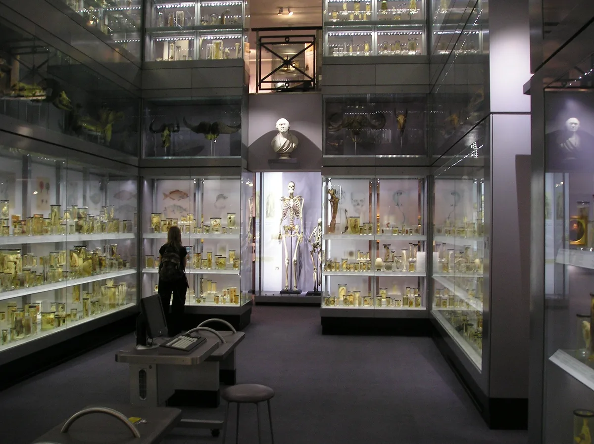
Hunterian Museum
Hunterian Museum — medical museum in London, United Kingdom.
 📷 5
📷 5Memorials & monuments · London
Spencer Perceval
Spencer Perceval — a memorial in england-london, United Kingdom.
 📷 5
📷 5Natural landmarks · London
The Old Curiosity Shop
The Old Curiosity Shop — a other in england-london, United Kingdom.
More parks in this region
 Flagship📷 10
Parks · London
Addington Hills
Addington Hills — park in the United Kingdom.
 📷 10
📷 10Parks · London
Addington Park
Addington Park — park in the United Kingdom.
 Flagship📷 10
Parks · London
Addiscombe Railway Park
Addiscombe Railway Park — park in London Borough of Croydon, United Kingdom.
 Flagship📷 10
Parks · London
Alexandra Park
Alexandra Park — park in the London Borough of Haringey.
Frequently asked questions
- Where is Lincoln's Inn Fields?
- Lincoln's Inn Fields is in London, United Kingdom (postcode WC2A 3PE), in the parish of Westminster, unparished area.
- Is Lincoln's Inn Fields a listed building?
- Lincoln's Inn Fields is officially recognised as Grade II listed park and garden listed.
- Is Lincoln's Inn Fields free to visit?
- Yes, Lincoln's Inn Fields is free to enter.
- How do I get to Lincoln's Inn Fields?
- The nearest railway station is Holborn, about 0.3 km away. Drivers can navigate to postcode WC2A 3PE.